
1955 Map of Tabbys Peak
USGS Topo · Published 1956About this map
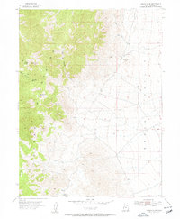
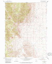
Cedar Mountains and the expanse of Skull Valley define this high-desert landscape in Tooele County. Captured through aerial photography in the early 1950s, the terrain is marked by a network of drainage systems and high points, most notably Tabbys Peak and the nearby Black Knoll. The map reveals a reliance on sparse water sources in this arid environment, documenting specific sites like Tabbys Spring, Rydalch Spr, and Cochran Spring along the mountain flanks.
Find a feature on this map
15 named features on this map. Tap any name to fly to it.
Don’t see what you’re looking for? This feature index may not catch every label — zoom into the map to look around manually.
Map Details
Editions of this 1955 Tabbys Peak Map
3 editions found
Other maps of this area

1885 · Tooele Valley
USGS Topo · 1:250,000

1953 · Tooele
USGS Topo · 1:250,000

1955 · Tabbys Peak SE
USGS Topo · 1:24,000

1955 · Wig Mtn
USGS Topo · 1:24,000

1955 · Wig Mtn NE
USGS Topo · 1:24,000

1955 · Tabbys Peak SW
USGS Topo · 1:24,000

1955 · Tooele
USGS Topo · 1:250,000

1973 · Quincy Spring
USGS Topo · 1:24,000

1973 · Aragonite SE
USGS Topo · 1:24,000

1973 · Hickman Knolls
USGS Topo · 1:24,000