
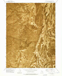
1973 Map of Quincy Spring
USGS Topo · Published 1977About this map
The Cedar Mountains dominate this orthophotomap, showing the high-desert terrain of Tooele County as it was documented in the early 1970s. This specific survey provides a detailed look at the water sources critical to this arid environment, specifically Quincy Spring and Eightmile Spring. The use of an orthophotomosaic base allows for a clear visualization of the natural drainage patterns and the sparse network of tracks, such as the Jeep Trail, that traverse the range. There are no permanent settlements shown within these bounds, reflecting the remote nature of the western Utah desert during this period. The map serves as a record of the landscape's physical character before modern developments, defined by the sharp relief of the mountains and the ancient desert floor.
Find a feature on this map
7 named features on this map. Tap any name to fly to it.
Don’t see what you’re looking for? This feature index may not catch every label — zoom into the map to look around manually.
Map Details
Editions of this 1973 Quincy Spring Map
This is the sole edition of this map. No revisions or reprints were ever made.
Other maps of this area

1885 · Tooele Valley
USGS Topo · 1:250,000

1953 · Tooele
USGS Topo · 1:250,000

1955 · Tabbys Peak
USGS Topo · 1:24,000

1955 · Wig Mtn NE
USGS Topo · 1:24,000

1955 · Tooele
USGS Topo · 1:250,000

1973 · Hastings Pass NE
USGS Topo · 1:24,000

1973 · Hastings Pass
USGS Topo · 1:24,000

1973 · Aragonite SE
USGS Topo · 1:24,000

1973 · Hickman Knolls
USGS Topo · 1:24,000
1973 · Hastings Pass SE
USGS Topo · 1:24,000