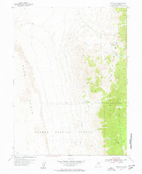
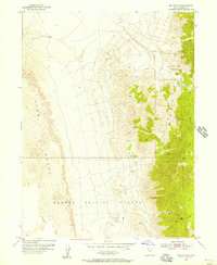
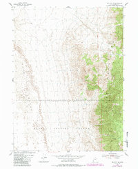
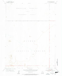
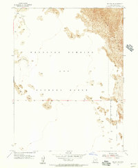
1955 Map of Wig Mtn NE
USGS Topo · Published 1957About this map
Dugway Proving Ground occupies a substantial portion of this mid-century survey, illustrating the intersection of military operations and the arid Basin and Range landscape. The eastern edge of the map is dominated by the steep, rocky profiles of Wig Mountain, which rises sharply from the surrounding desert floor. This topography is characterized by deep ravines like Rydalch Canyon and critical passes such as Six Horse Pass. To the west, the landscape transitions into a vast expanse of Sand Dunes, showing the shifting geological nature of the Great Salt Lake Desert.
Find a feature on this map
12 named features on this map. Tap any name to fly to it.
Don’t see what you’re looking for? This feature index may not catch every label — zoom into the map to look around manually.
Map Details
Editions of this 1955 Wig Mtn NE Map
4 editions found

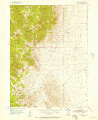
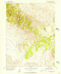
Other maps of this area

1885 · Tooele Valley
USGS Topo · 1:250,000

1953 · Tooele
USGS Topo · 1:250,000
1954 · Wig Mtn SW
USGS Topo · 1:24,000
1954 · Wig Mtn NW
USGS Topo · 1:24,000
1955 · Tabbys Peak
USGS Topo · 1:24,000
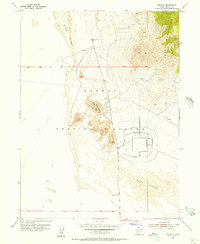
1955 · Wig Mtn
USGS Topo · 1:24,000
1955 · Tabbys Peak SW
USGS Topo · 1:24,000

1955 · Tooele
USGS Topo · 1:250,000

1973 · Quincy Spring
USGS Topo · 1:24,000

1973 · Aragonite SE
USGS Topo · 1:24,000