
1954 Map of Wig Mtn NW
USGS Topo · Published 1956About this map
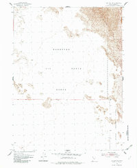
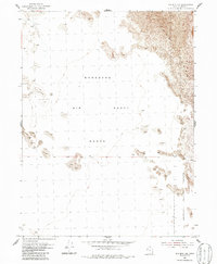
The Wendover Bombing and Gunnery Range dominates this mid-century desert landscape in western Utah, capturing a specialized military geography defined by isolation and testing. The 1954 topography reveals a nearly level expanse of alkaline flats and salt basins, interrupted only by scattered outcrops and shifting Sand Dunes. To the southeast, the boundary of the Dugway Proving Ground indicates the intensive military activity that characterized this region during the Cold War era. Surveyed just before significant infrastructure changes in the desert interior, the map reflects a stark, undeveloped environment where the lack of permanent settlements or roads emphasizes the area's role as a vast proving ground for aerial and ballistic technology.
Find a feature on this map
6 named features on this map. Tap any name to fly to it.
Don’t see what you’re looking for? This feature index may not catch every label — zoom into the map to look around manually.
Map Details
Editions of this 1954 Wig Mtn NW Map
3 editions found
Other maps of this area

1953 · Tooele
USGS Topo · 1:250,000

1954 · Wig Mtn SW
USGS Topo · 1:24,000

1954 · Wildcat Mtn
USGS Topo · 1:24,000

1954 · Wildcat Mtn SE
USGS Topo · 1:24,000

1955 · Wig Mtn
USGS Topo · 1:24,000

1955 · Wig Mtn NE
USGS Topo · 1:24,000

1955 · Tooele
USGS Topo · 1:250,000

1973 · Knolls SE
USGS Topo · 1:24,000

1973 · Aragonite SE
USGS Topo · 1:24,000

1973 · Aragonite SW
USGS Topo · 1:24,000