
1955 Map of Wig Mtn
USGS Topo · Published 1956About this map
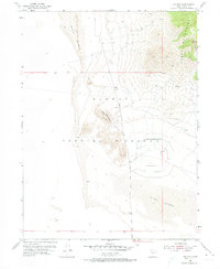
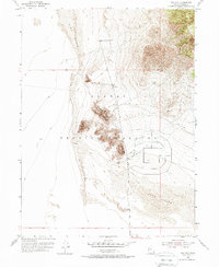
Dugway Proving Ground occupies the vast majority of this mid-century survey, illustrating the isolated military landscape of the Great Salt Lake Desert. The terrain is dominated by the stark elevation of Wig Mountain and the eastern edge of the Cedar Mountains, which rise sharply above shifting Sand Dunes. This specific 1955 survey captures the area's functional infrastructure, including the grid-like development of military testing facilities and access routes like North Wig Mtn Road. The presence of a sparse Jeep Trail winding through the foothills highlights the limited accessibility of this high-security zone during the height of the Cold War, providing a detailed record of the intersection between harsh desert geology and strategic national defense operations.
Find a feature on this map
9 named features on this map. Tap any name to fly to it.
Don’t see what you’re looking for? This feature index may not catch every label — zoom into the map to look around manually.
Map Details
Editions of this 1955 Wig Mtn Map
3 editions found
Other maps of this area

1885 · Tooele Valley
USGS Topo · 1:250,000

1953 · Tooele
USGS Topo · 1:250,000

1954 · Wig Mtn SW
USGS Topo · 1:24,000

1954 · Dugway Proving Ground NE
USGS Topo · 1:24,000

1954 · Camels Back Ridge NW
USGS Topo · 1:24,000

1954 · Dugway Proving Ground NW
USGS Topo · 1:24,000

1954 · Wig Mtn NW
USGS Topo · 1:24,000

1955 · Tabbys Peak
USGS Topo · 1:24,000

1955 · Wig Mtn NE
USGS Topo · 1:24,000

1955 · Tabbys Peak SW
USGS Topo · 1:24,000