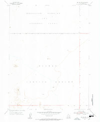
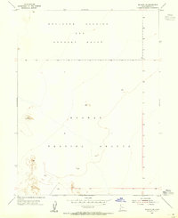
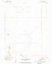
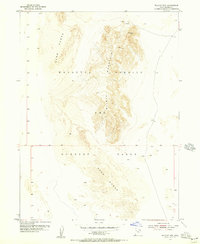
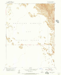
1954 Map of Wig Mtn SW
USGS Topo · Published 1955About this map
Dugway Proving Ground and the Wendover Bombing and Gunnery Range dominate this mid-century landscape in the Utah desert. The terrain is defined by vast alkali flats and salt pans, where elevation changes are measured in single feet across miles of open ground. This 1954 survey captures the area during a period of significant military utility, as these expansive ranges were essential for large-scale testing and training maneuvers. The map's sparse labels reflect a landscape where natural landmarks are rare, noted primarily by specific vertical benchmarks such as Vabm 4296, which provides a rare point of reference in an otherwise featureless expanse. The absence of roads or civilian settlements underscores the specialized, restricted nature of the territory during the Cold War era.
Find a feature on this map
6 named features on this map. Tap any name to fly to it.
Don’t see what you’re looking for? This feature index may not catch every label — zoom into the map to look around manually.
Map Details
Editions of this 1954 Wig Mtn SW Map
4 editions found

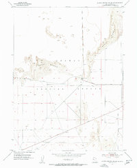
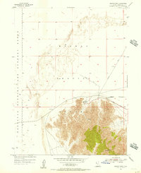
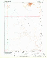
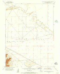
Other maps of this area

1953 · Tooele
USGS Topo · 1:250,000
1954 · Dugway Proving Ground NE
USGS Topo · 1:24,000
1954 · Wildcat Mtn
USGS Topo · 1:24,000
1954 · Granite Peak
USGS Topo · 1:24,000
1954 · Wildcat Mtn SE
USGS Topo · 1:24,000
1954 · Dugway Proving Ground NW
USGS Topo · 1:24,000
1954 · Wig Mtn NW
USGS Topo · 1:24,000
1955 · Wig Mtn
USGS Topo · 1:24,000
1955 · Wig Mtn NE
USGS Topo · 1:24,000

1955 · Tooele
USGS Topo · 1:250,000