
1954 Map of Wildcat Mtn SE
USGS Topo · Published 1956About this map
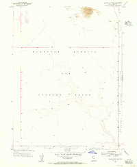
The Wendover Bombing and Gunnery Range dominates this mid-century topographic profile of the Great Salt Lake Desert, illustrating the region's intense transformation for military aviation and weapons testing. This high-altitude desert environment is characterized by sparse, shifting terrain, including a notable expanse of Sand Dunes in the northeast corner. The map documents the overlap of vast military reservations, as the Dugway Proving Ground extends into the southern portion of the quadrangle. Aside from these designated military zones, the landscape is defined by its topographic isolation and the survey lines of the public land survey system, revealing a territory primarily dedicated to national defense operations during the Cold War era.
Find a feature on this map
7 named features on this map. Tap any name to fly to it.
Don’t see what you’re looking for? This feature index may not catch every label — zoom into the map to look around manually.
Map Details
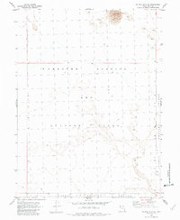
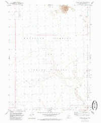
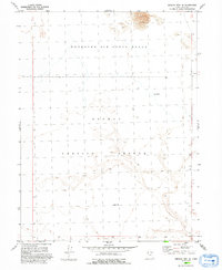
Editions of this 1954 Wildcat Mtn SE Map
5 editions found
Other maps of this area

1953 · Tooele
USGS Topo · 1:250,000

1954 · Wig Mtn SW
USGS Topo · 1:24,000

1954 · Wildcat Mtn
USGS Topo · 1:24,000

1954 · Granite Peak
USGS Topo · 1:24,000

1954 · Dugway Proving Ground NW
USGS Topo · 1:24,000

1954 · Wig Mtn NW
USGS Topo · 1:24,000

1955 · Tooele
USGS Topo · 1:250,000

1973 · Wildcat Mountain SW
USGS Topo · 1:24,000

1973 · Wildcat Mountain NW
USGS Topo · 1:24,000

1973 · Granite Peak NW
USGS Topo · 1:24,000