
1954 Map of Dugway Proving Ground NW
USGS Topo · Published 1956About this map
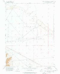
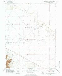
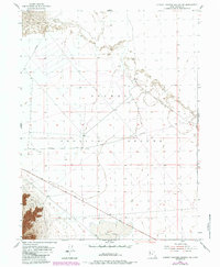
Dugway Proving Ground defines this mid-century landscape in the remote Great Salt Lake Desert, where military operations and early transcontinental survey routes intersect. The map reveals a high-precision grid established for testing, bisected by functional desert tracks like Falconer Road and Stark Road. A significant hydrological feature, the ephemeral Dry Lake, occupies the southern portion of the quadrangle, illustrating the basin-and-range topography typical of Tooele County. Historians will find interest in the intersection of Goodyear Road and the various benchmark locations such as BM 4301 and BM 4297, which served as critical data points for the 1954 planetable surveys. The sparse placement of landmarks like Gpi-3 underscores the isolation and specialized use of this territory during the height of the Cold War era.
Find a feature on this map
10 named features on this map. Tap any name to fly to it.
Don’t see what you’re looking for? This feature index may not catch every label — zoom into the map to look around manually.
Map Details
Editions of this 1954 Dugway Proving Ground NW Map
4 editions found
Other maps of this area

1953 · Tooele
USGS Topo · 1:250,000

1954 · Wig Mtn SW
USGS Topo · 1:24,000

1954 · Dugway Proving Ground SE
USGS Topo · 1:24,000

1954 · Dugway Proving Ground NE
USGS Topo · 1:24,000

1954 · Granite Peak
USGS Topo · 1:24,000

1954 · Dugway Proving Ground SW
USGS Topo · 1:24,000

1954 · Wildcat Mtn SE
USGS Topo · 1:24,000

1954 · Granite Peak SE
USGS Topo · 1:24,000

1955 · Wig Mtn
USGS Topo · 1:24,000

1955 · Tooele
USGS Topo · 1:250,000