
1954 Map of Granite Peak SE
USGS Topo · Published 1956About this map
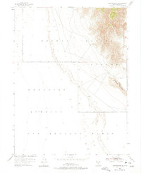
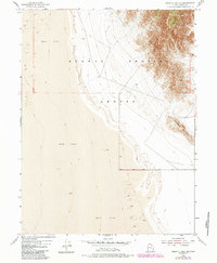
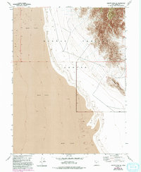
Dugway Proving Ground dominates the landscape in this mid-century topographic survey, illustrating a strictly military environment in the Great Salt Lake Desert. The northern half of the sheet covers the extensive terrain of the proving ground, characterized by the dramatic rise of granite peaks and ridges out of the surrounding alkaline flats. To the south and west, the map transitions into the Wendover Bombing and Gunnery Range, highlighting the era's focus on large-scale weapons testing and aviation training in the isolated basins of Tooele County. The most prominent natural landmark is Sapphire Mountain, which stands as a clear geographical marker against the vast, open stretches of the bombing range. Researchers will find the map provides an essential view of the early Cold War-era boundaries and topography of these restricted military installations before subsequent developments altered the desert floor.
Find a feature on this map
3 named features on this map. Tap any name to fly to it.
Don’t see what you’re looking for? This feature index may not catch every label — zoom into the map to look around manually.
Map Details
Editions of this 1954 Granite Peak SE Map
4 editions found
Other maps of this area

1908 · Fish Springs
USGS Topo · 1:250,000

1910 · Fish Springs
USGS Topo · 1:250,000

1953 · Dugway Range
USGS Topo · 1:62,500

1953 · Dugway Range NW
USGS Topo · 1:24,000

1953 · Tooele
USGS Topo · 1:250,000

1953 · Delta
USGS Topo · 1:250,000

1954 · Granite Peak
USGS Topo · 1:24,000

1954 · Dugway Proving Ground SW
USGS Topo · 1:24,000

1954 · Dugway Proving Ground NW
USGS Topo · 1:24,000

1955 · Tooele
USGS Topo · 1:250,000