
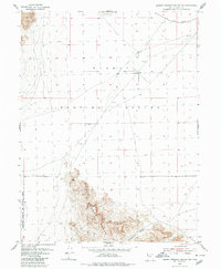
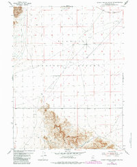
1954 Map of Dugway Proving Ground SW
USGS Topo · Published 1956About this map
The Dugway Range dominates the southern portion of this mid-century quadrangle, revealing a stark desert landscape where military testing and mineral exploration converge. Established as a high-security zone during the early Cold War, the Dugway Proving Ground and the Wendover Bombing and Gunnery Range overlap here, indicating the vast spatial requirements of mid-20th-century munitions and defense research.
Find a feature on this map
10 named features on this map. Tap any name to fly to it.
Don’t see what you’re looking for? This feature index may not catch every label — zoom into the map to look around manually.
Map Details
Editions of this 1954 Dugway Proving Ground SW Map
3 editions found
Other maps of this area

1908 · Fish Springs
USGS Topo · 1:250,000

1910 · Fish Springs
USGS Topo · 1:250,000

1953 · Dugway Range NE
USGS Topo · 1:24,000

1953 · Dugway Range
USGS Topo · 1:62,500

1953 · Dugway Range NW
USGS Topo · 1:24,000

1953 · Tooele
USGS Topo · 1:250,000

1953 · Delta
USGS Topo · 1:250,000

1954 · Dugway Proving Ground SE
USGS Topo · 1:24,000

1954 · Dugway Proving Ground NE
USGS Topo · 1:24,000

1954 · Granite Peak
USGS Topo · 1:24,000