
1954 Map of Dugway Proving Ground SE
USGS Topo · Published 1955About this map
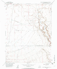
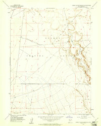
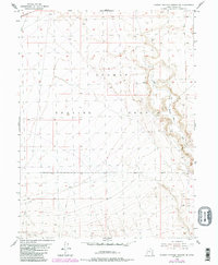
Dugway Proving Ground dominates this 1954 topographic record, which captures a specific desert landscape used for military operations in the mid-20th century. The terrain is defined by the remnants of the Riverbed, a geological feature that cuts through the quadrangle and serves as a natural corridor for the Old Riverbed Trail. While much of the land is categorized for military use, the presence of various tracks, including Granite Peak Rd and numerous Jeep Trail segments, illustrates the essential transport network required to navigate this portion of the Great Salt Lake Desert. The map's detail focuses on elevation and drainage patterns rather than civilian settlements, reflecting the specialized nature of the installation during this era.
Find a feature on this map
6 named features on this map. Tap any name to fly to it.
Don’t see what you’re looking for? This feature index may not catch every label — zoom into the map to look around manually.
Map Details
Editions of this 1954 Dugway Proving Ground SE Map
4 editions found
Other maps of this area

1885 · Sevier Desert
USGS Topo · 1:250,000

1885 · Tooele Valley
USGS Topo · 1:250,000

1908 · Fish Springs
USGS Topo · 1:250,000

1910 · Fish Springs
USGS Topo · 1:250,000

1953 · Dugway Range NE
USGS Topo · 1:24,000

1953 · Dugway Range
USGS Topo · 1:62,500

1953 · Dugway Range NW
USGS Topo · 1:24,000

1953 · Tooele
USGS Topo · 1:250,000

1953 · Delta
USGS Topo · 1:250,000

1954 · Dugway Proving Ground NE
USGS Topo · 1:24,000