
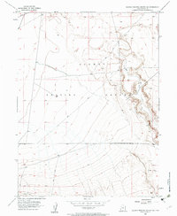
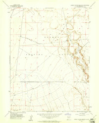
1954 Map of Dugway Proving Ground SE
USGS Topo · Published 1984About this map
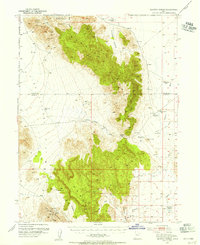
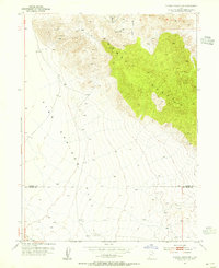
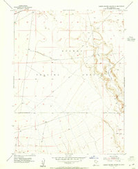
The Old River Bed carves a distinct geological path across this section of the Dugway Proving Ground in Tooele County. Captured through planetable surveys in the mid-1950s and later updated with 1980s aerial photography, the landscape is defined by its military restriction and arid basin characteristics. The presence of the Granite Peak Rd in the northwest corner and several networks of Jeep Trail routes indicate the limited but necessary infrastructure for traversing this remote stretch of the Great Salt Lake Desert. The map serves as a detailed record of land use and topographic relief within the proving ground's southeastern quadrant, where natural drainage patterns and sparse vehicle tracks are the primary human and environmental markers.
Find a feature on this map
5 named features on this map. Tap any name to fly to it.
Don’t see what you’re looking for? This feature index may not catch every label — zoom into the map to look around manually.
Map Details
Editions of this 1954 Dugway Proving Ground SE Map
4 editions found
Other maps of this area

1885 · Sevier Desert
USGS Topo · 1:250,000

1885 · Tooele Valley
USGS Topo · 1:250,000

1908 · Fish Springs
USGS Topo · 1:250,000

1910 · Fish Springs
USGS Topo · 1:250,000

1953 · Dugway Range NE
USGS Topo · 1:24,000
1953 · Dugway Range
USGS Topo · 1:62,500
1953 · Dugway Range NW
USGS Topo · 1:24,000

1953 · Tooele
USGS Topo · 1:250,000

1953 · Delta
USGS Topo · 1:250,000
1954 · Dugway Proving Ground SE
USGS Topo · 1:24,000