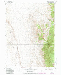
1955 Map of Wig Mtn NE
USGS Topo · Published 1984About this map
The Cedar Mountains dominate this remote landscape within the Dugway Proving Ground, where the high desert terrain transitions from steep, wooded ridges to wide expanses of shifting Sand Dunes in the west. Topography here is defined by rare water sources that have long dictated movement through the arid basin, notably Browns Spring and Cedar Spring. These points of relief supported travel through natural breaks in the range, such as Six Horse Pass and the rugged drainage of Six Horse Pass Canyon. The map reveals a network of Jeep Trails and unnamed footpaths that navigate the complex elevation of Rydalch Canyon, illustrating the restricted access and specialized military utility of this high-altitude proving ground during the mid-20th century.
Find a feature on this map
16 named features on this map. Tap any name to fly to it.
Don’t see what you’re looking for? This feature index may not catch every label — zoom into the map to look around manually.
Map Details
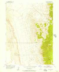
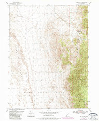
Editions of this 1955 Wig Mtn NE Map
4 editions found
Other maps of this area

1885 · Tooele Valley
USGS Topo · 1:250,000

1953 · Tooele
USGS Topo · 1:250,000

1954 · Wig Mtn SW
USGS Topo · 1:24,000

1954 · Wig Mtn NW
USGS Topo · 1:24,000

1955 · Tabbys Peak
USGS Topo · 1:24,000

1955 · Wig Mtn
USGS Topo · 1:24,000

1955 · Wig Mtn NE
USGS Topo · 1:24,000

1955 · Tabbys Peak SW
USGS Topo · 1:24,000

1955 · Tooele
USGS Topo · 1:250,000

1973 · Quincy Spring
USGS Topo · 1:24,000