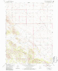
1955 Map of Tabbys Peak SE
USGS Topo · Published 1987About this map
The Cedar Mountains dominate the western portion of this mid-century landscape, marking a stark transition into the high-desert topography of Tooele County. Surveyed in 1955, the map captures a pivotal era for land use in this part of Utah, where the open expanse of Skull Valley meets federal and indigenous territories. The boundary between the Skull Valley Indian Reservation and the Dugway Proving Ground Military Reservation illustrates the complex layering of jurisdiction across the Great Salt Lake Desert region. Between these large tracts, distinct terrain features like Wide Hollow and Post Hollow provide landmarks within the ridges. The eastern flats are punctuated only by Hickman Knolls, showing a landscape defined more by natural contours and military-industrial boundaries than by civilian settlement.
Find a feature on this map
10 named features on this map. Tap any name to fly to it.
Don’t see what you’re looking for? This feature index may not catch every label — zoom into the map to look around manually.
Map Details
Editions of this 1955 Tabbys Peak SE Map
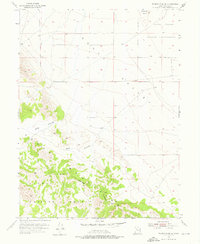
3 editions found
Other maps of this area

1885 · Tooele Valley
USGS Topo · 1:250,000

1953 · Tooele
USGS Topo · 1:250,000

1954 · Camels Back Ridge NW
USGS Topo · 1:24,000

1955 · Tabbys Peak SE
USGS Topo · 1:24,000

1955 · Tabbys Peak
USGS Topo · 1:24,000

1955 · Camels Back Ridge NE
USGS Topo · 1:24,000

1955 · Davis Knolls
USGS Topo · 1:24,000

1955 · Deseret Peak
USGS Topo · 1:62,500

1955 · Tabbys Peak SW
USGS Topo · 1:24,000

1955 · Tooele
USGS Topo · 1:250,000