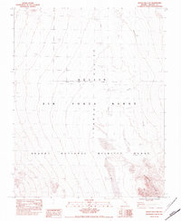
1983 Map of Desert Hills NW
USGS Topo · Published 1983About this map
Tikaboo Valley occupies the heart of this high-desert landscape in Lincoln County, Nevada. Published as a provisional map in 1983, the survey documents a region defined by federal oversight and environmental conservation. Much of the northern terrain is occupied by the Nellis Air Force Range, while the southern portion falls within the Desert National Wildlife Range. The boundary between these two massive administrative tracts is noted as indefinite, reflecting the remote nature of this wilderness. The presence of the Run-In Line and numerous Restricted areas points to the specialized military activities that occurred here during the Cold War era. The topographical detail focuses on the southern reaches of the valley as it meets the rising elevation of the Desert Hills, providing a clear record of the region's primitive roads and drainage patterns before contemporary changes.
Find a feature on this map
8 named features on this map. Tap any name to fly to it.
Don’t see what you’re looking for? This feature index may not catch every label — zoom into the map to look around manually.
Map Details
Editions of this 1983 Desert Hills NW Map
This is the sole edition of this map. No revisions or reprints were ever made.
Other maps of this area

1942 · Emigrant Valley
USGS Topo · 1:125,000

1945 · Alamo
USGS Topo · 1:125,000

1954 · Caliente
USGS Topo · 1:250,000

1959 · Caliente
USGS Topo · 1:250,000
1983 · Cutler Reservoir
USGS Topo · 1:24,000
1983 · Desert Hills SW
USGS Topo · 1:24,000
1983 · Groom Range SE
USGS Topo · 1:24,000
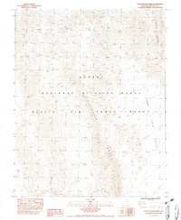
1983 · Southeastern Mine
USGS Topo · 1:24,000
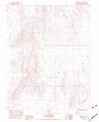
1983 · Desert Hills NE
USGS Topo · 1:24,000
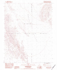
1983 · Desert Hills SE
USGS Topo · 1:24,000