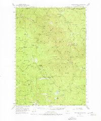
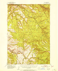
1951 Map of Desolation Butte
USGS Topo · Published 1976About this map
Whitman National Forest land defines this portion of Grant County, where the high ridges of the Blue Mountains meet the headwaters of the North Fork John Day River. The landscape is a network of remote outposts and resource extraction points, evidenced by numerous fire lookout and administrative sites such as Desolation Butte, Indian Rock, and Desolation Guard Station. Mining activity is scattered across the drainages, with the Skinner Mine near Farley Spr and the Gutridge Mine located along the river. These features suggest an era of active forest management and small-scale mineral prospecting. In the southern portion of the quadrangle, water management is visible at Olive Lake and its Upper Reservoir, while a widespread system of seasonal encampments like Mutton Camp and Lost Meadow Big Meadow Camp points to a history of timber work or livestock grazing in the high meadows.
Find a feature on this map
110 named features on this map. Tap any name to fly to it.
Don’t see what you’re looking for? This feature index may not catch every label — zoom into the map to look around manually.
Map Details
Editions of this 1951 Desolation Butte Map
3 editions found
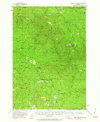
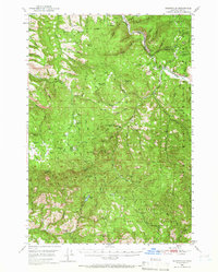
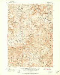
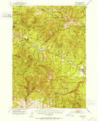
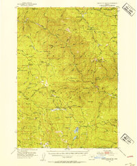
Other maps of this area

1901 · Sumpter
USGS Topo · 1:125,000
1949 · Susanville
USGS Topo · 1:62,500
1951 · Susanville
USGS Topo · 1:62,500
1951 · Dale
USGS Topo · 1:62,500
1951 · Bates
USGS Topo · 1:62,500
1951 · Desolation Butte
USGS Topo · 1:62,500

1953 · Pendleton
USGS Topo · 1:250,000

1955 · Canyon City
USGS Topo · 1:250,000

1956 · Pendleton
USGS Topo · 1:250,000

1959 · Canyon City
USGS Topo · 1:250,000