
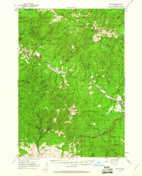
1951 Map of Bates
USGS Topo · Published 1953About this map
Bates and Austin Junction serve as the primary human outposts in this 1951 survey of the Blue Mountains, where the extractive industries of the early 20th century meet the management of the Umatilla National Forest and Whitman National Forest. The landscape is heavily marked by gold and copper mining history, with numerous named sites such as the Ben Harrison Mine, Standard Mine, and Copperopolis Mine scattered across the high ridges. These operations were supported by complex water management systems like the Placer Ditch, essential for hydraulic mining in this terrain.
Find a feature on this map
86 named features on this map. Tap any name to fly to it.
Don’t see what you’re looking for? This feature index may not catch every label — zoom into the map to look around manually.
Map Details
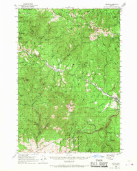
Editions of this 1951 Bates Map
3 editions found
Other maps of this area

1901 · Sumpter
USGS Topo · 1:125,000

1908 · Ironside Mountain
USGS Topo · 1:125,000

1940 · John Day
USGS Topo · 1:62,500

1943 · John Day
USGS Topo · 1:62,500

1949 · Susanville
USGS Topo · 1:62,500

1951 · Susanville
USGS Topo · 1:62,500

1951 · Dale
USGS Topo · 1:62,500

1951 · Desolation Butte
USGS Topo · 1:62,500

1955 · Canyon City
USGS Topo · 1:250,000

1959 · Canyon City
USGS Topo · 1:250,000