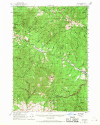
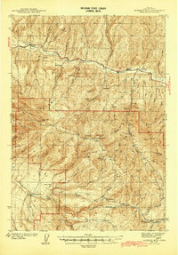
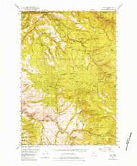
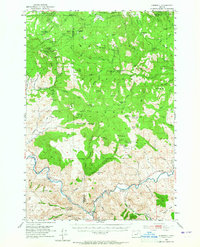
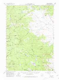
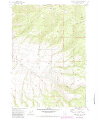
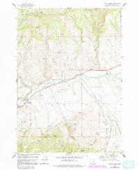
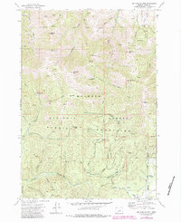
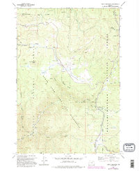
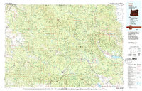
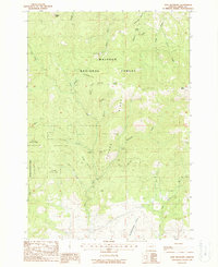
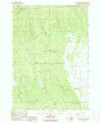
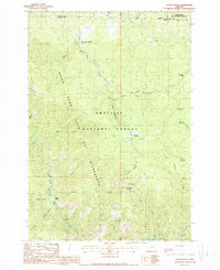
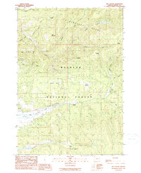
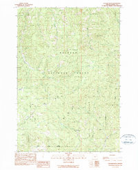
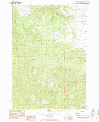
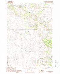
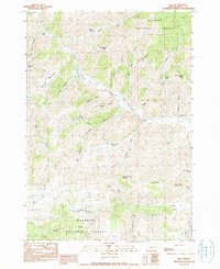
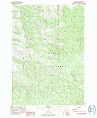
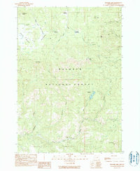
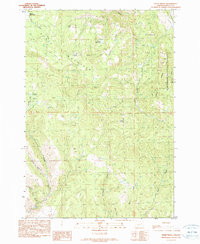
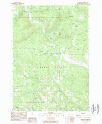
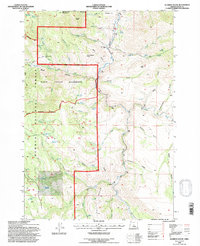
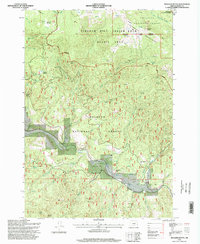
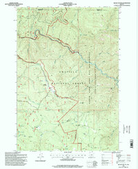
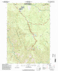
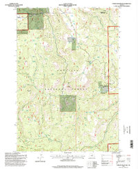
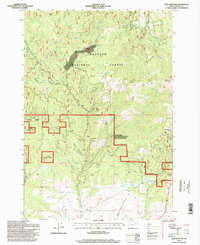
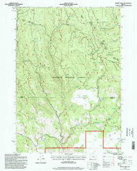
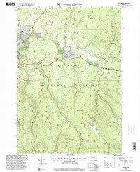
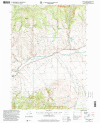
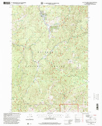
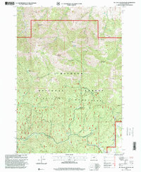
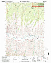
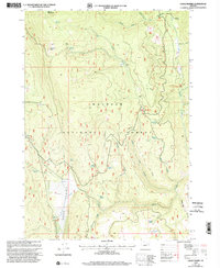
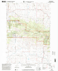
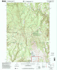
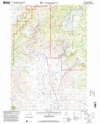
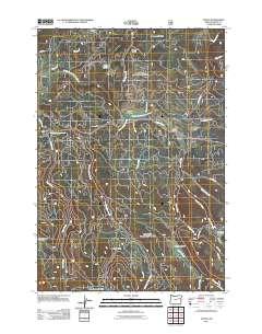
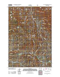
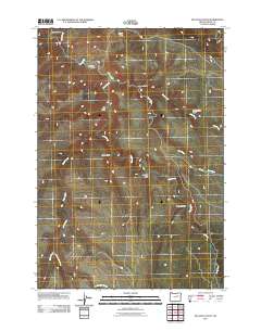
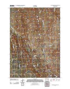
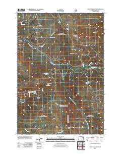
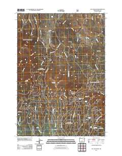
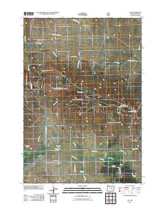
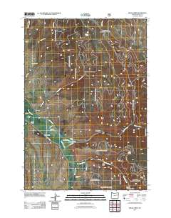
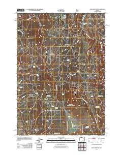
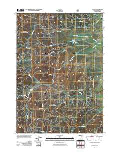
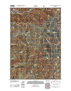
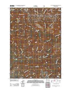
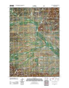
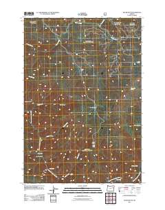
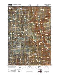
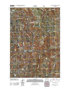
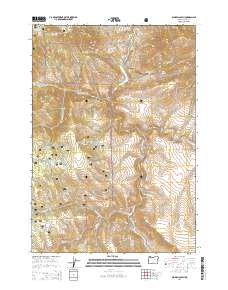
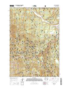
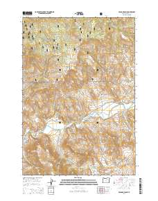
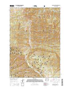
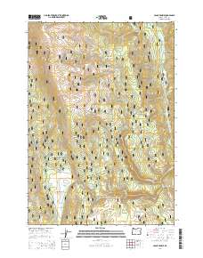
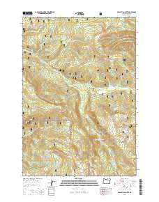
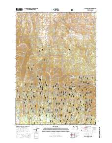
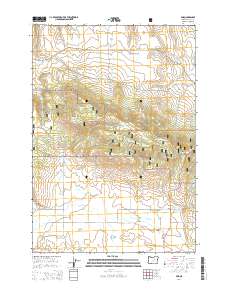
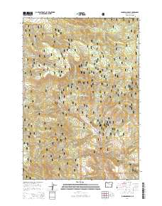
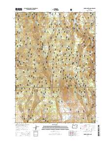
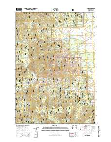
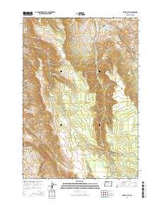
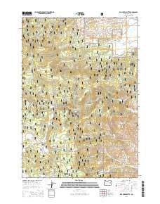
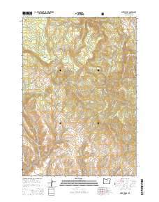
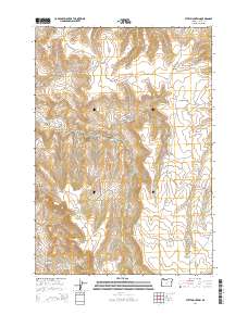
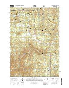
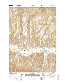
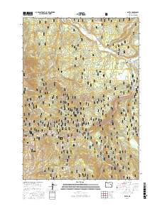
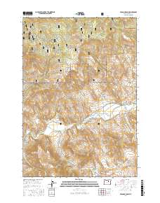
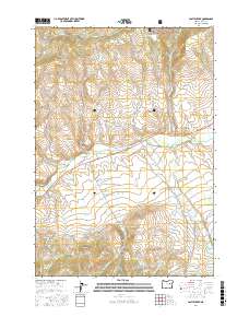
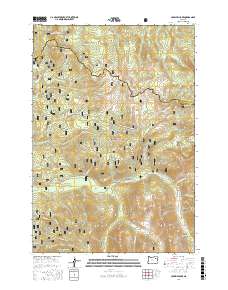
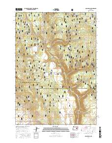
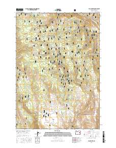
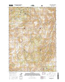
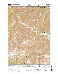
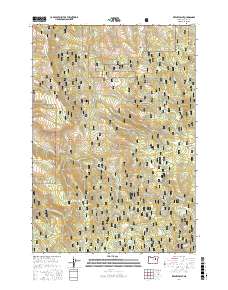
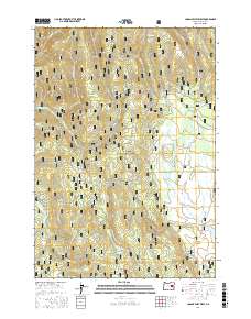
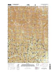
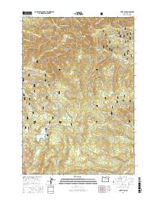
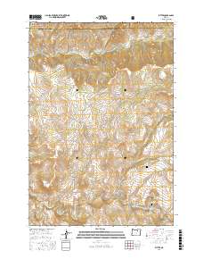
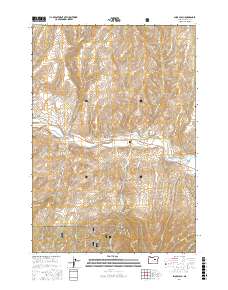
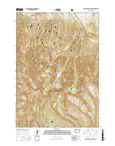
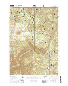
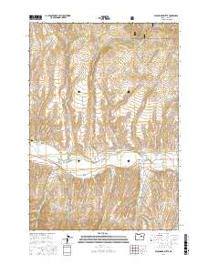
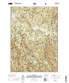
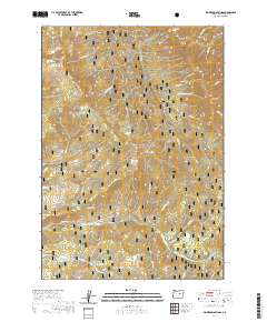
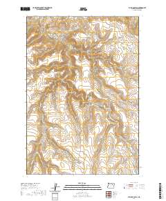
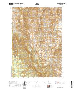
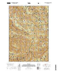
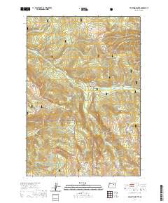
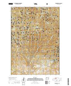
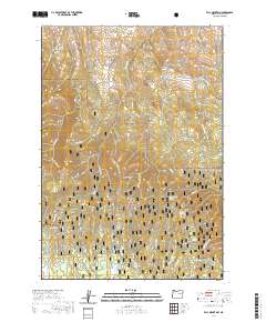
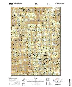
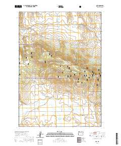
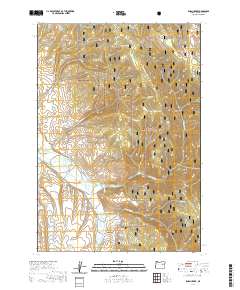
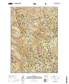
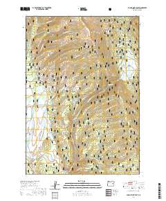
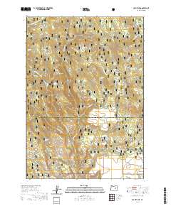
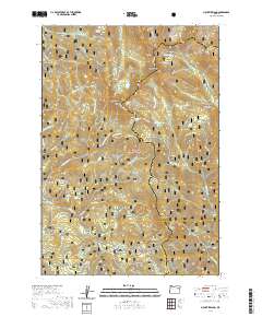
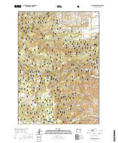
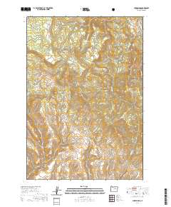
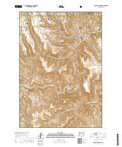
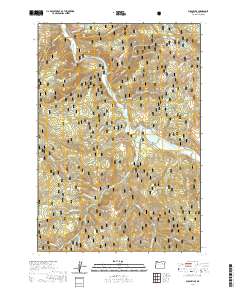
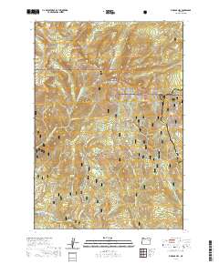
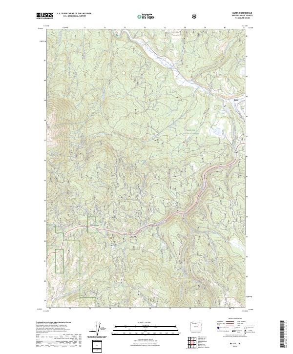
1951 Map of Bates
USGS Topo · Published 1968About this map
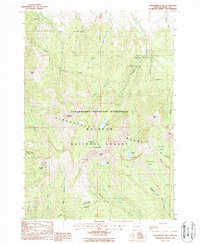
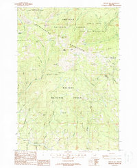
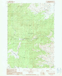
Bates and Austin Junction anchor this mid-century survey of the Blue Mountains, showing the area's transition from a hard-rock mining hub to a timber-driven economy. The Sumpter Valley RR corridor follows the drainages of the Middle Fork John Day River, a landscape defined by high summits like Dixie Butte and Vinegar Hill. The map meticulously records the industrial legacy of the region, documenting numerous active and dormant claims including the Ben Harrison Mine, Standard Mine, and the historic China Diggings.
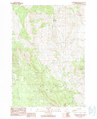
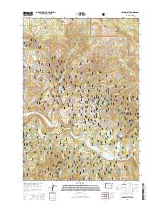
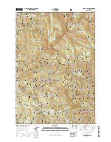
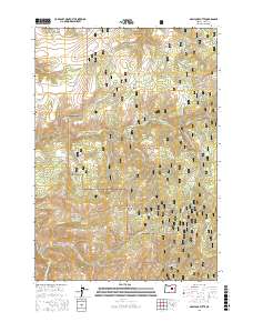
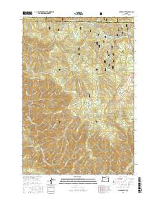
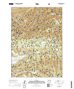
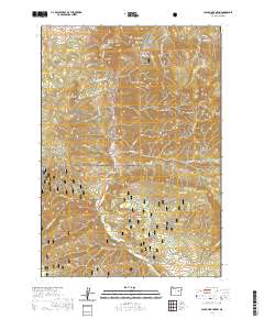
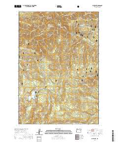
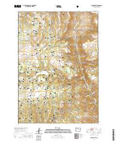
Find a feature on this map
75 named features on this map. Tap any name to fly to it.
Don’t see what you’re looking for? This feature index may not catch every label — zoom into the map to look around manually.
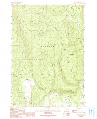
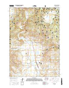
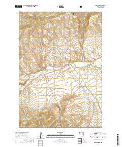
Map Details
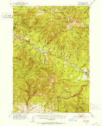
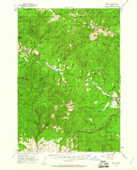
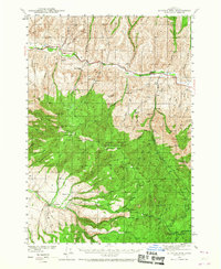
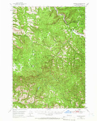
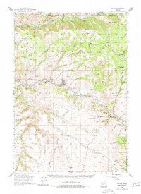
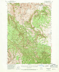
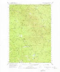
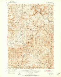
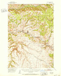
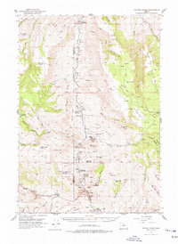
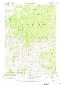
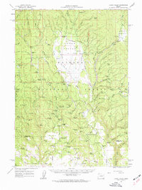
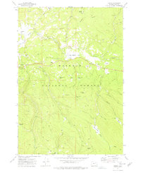
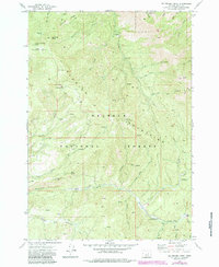
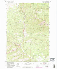
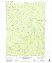
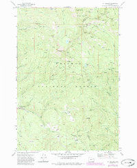
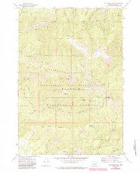
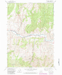
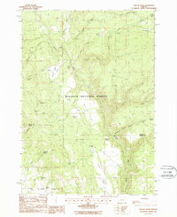
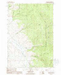
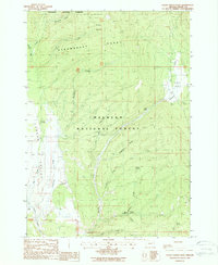
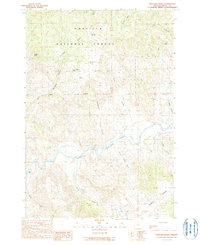
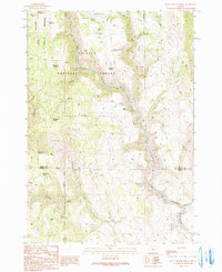
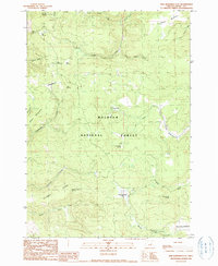
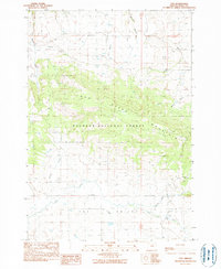
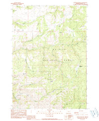
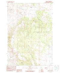
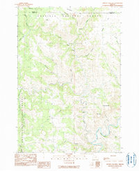
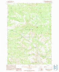
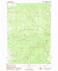
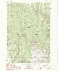
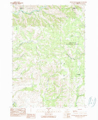
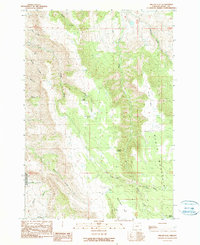
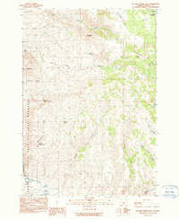
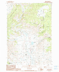
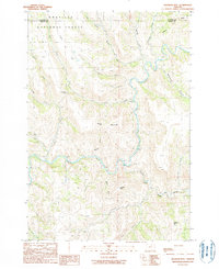
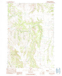
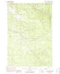
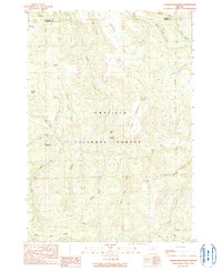
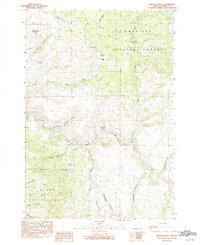
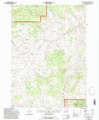
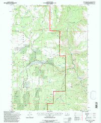
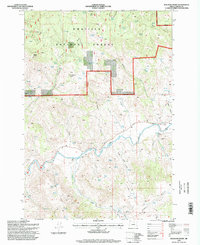
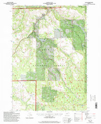
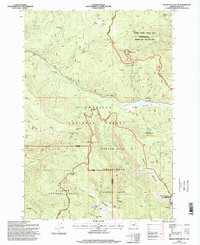
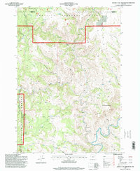
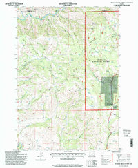
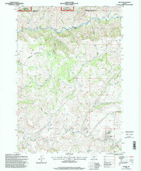
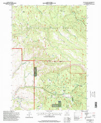
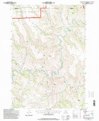
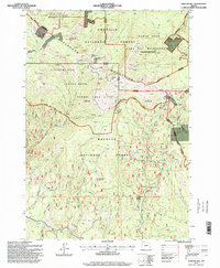
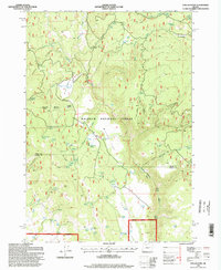
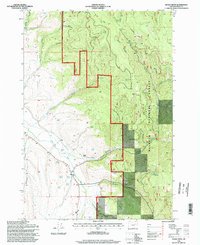
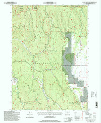
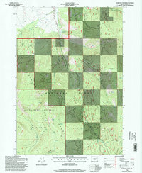
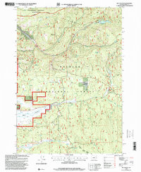
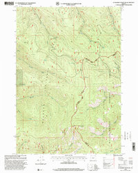
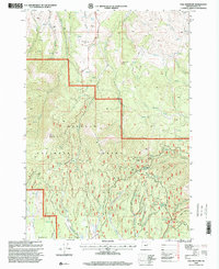
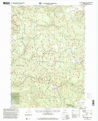
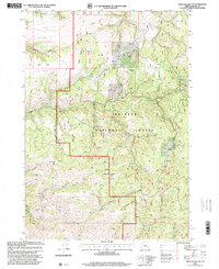
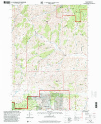
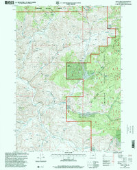
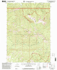
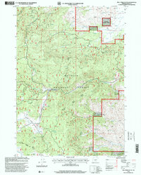
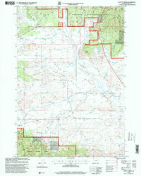
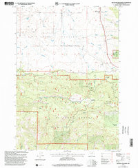
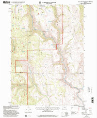
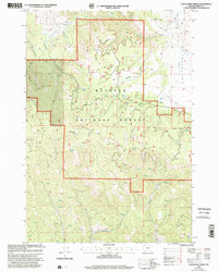
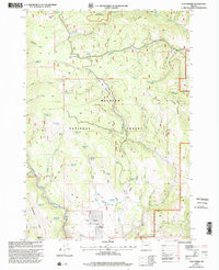
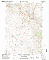
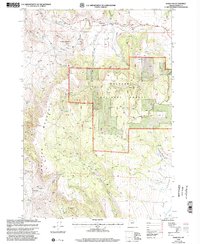
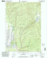
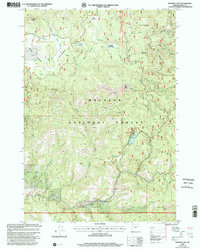
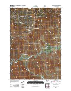
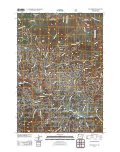
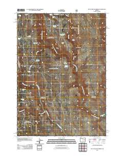
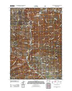
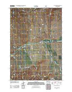
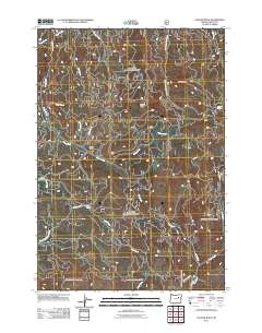
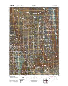
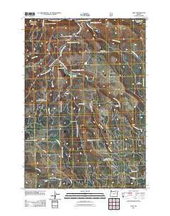
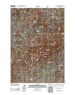
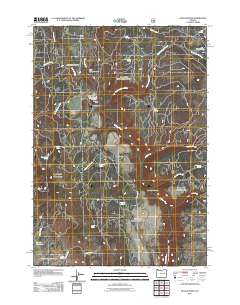
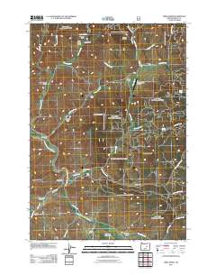
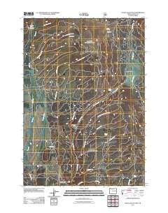
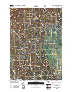
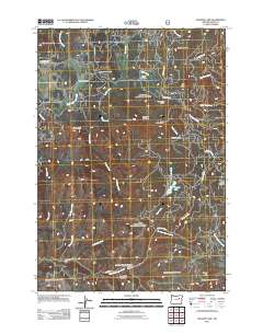
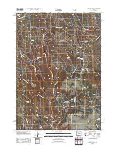
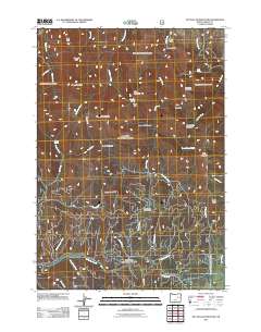
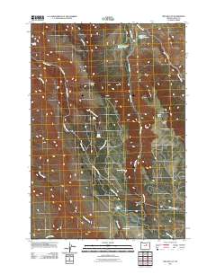
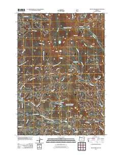
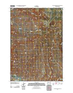
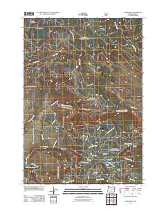
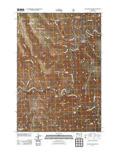
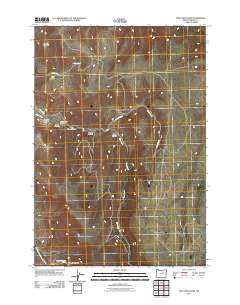
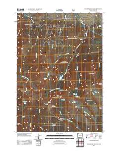
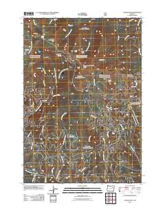
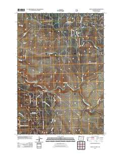
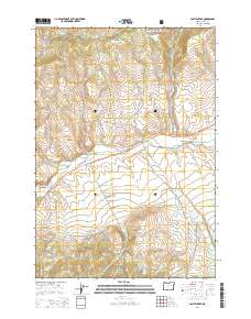
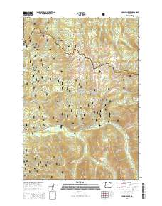
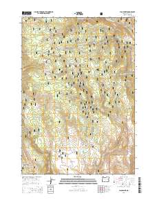
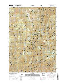
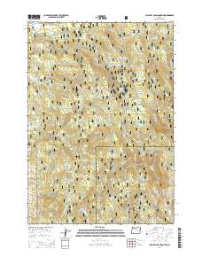
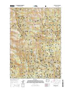
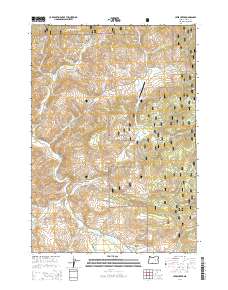
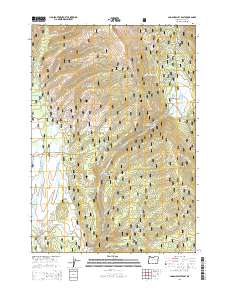
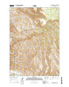
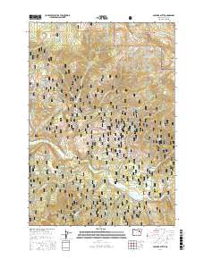
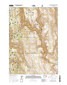
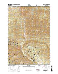
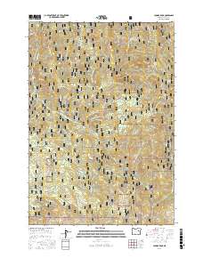
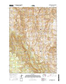
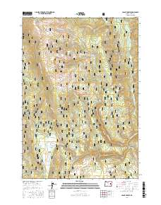
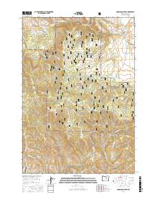
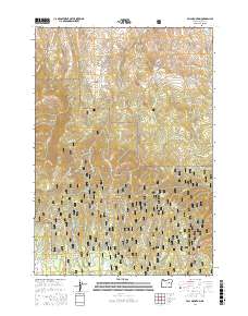
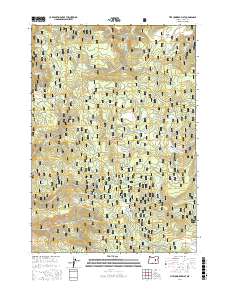
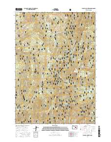
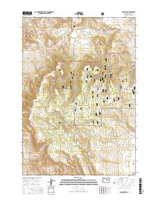
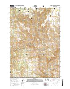
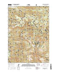
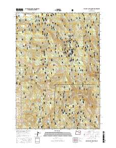
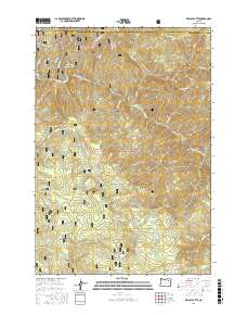
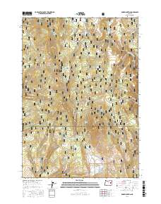
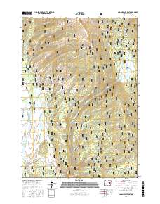
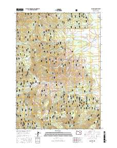
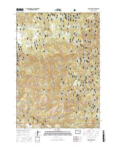
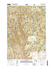
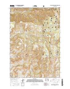
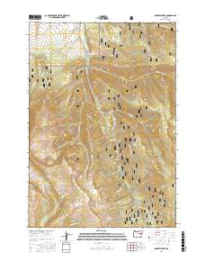
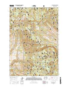
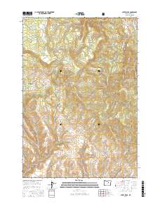
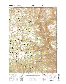
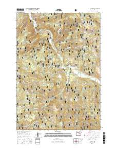
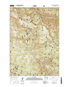
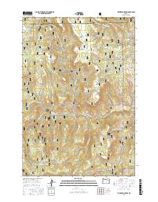
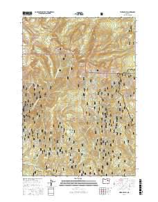
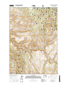
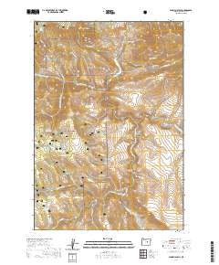
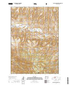
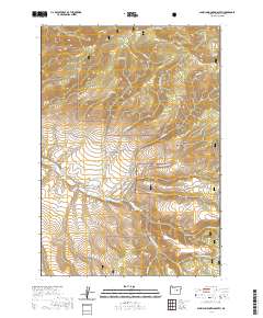
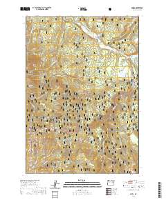
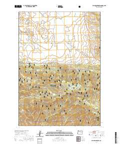
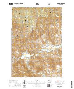
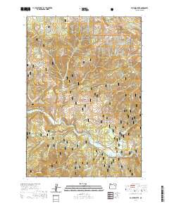
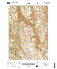
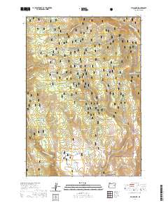
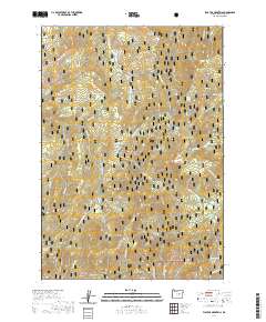
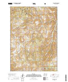
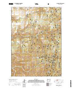
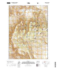
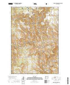
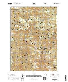
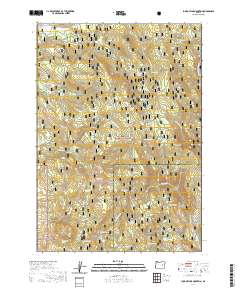
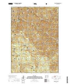
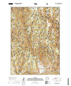
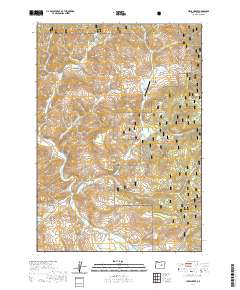
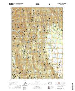
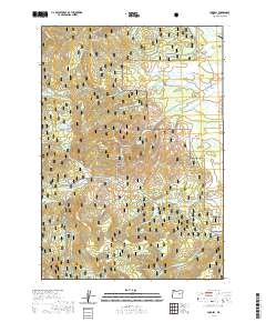
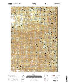
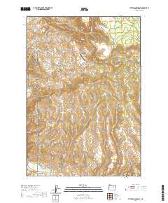
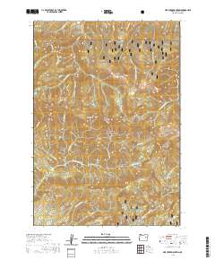
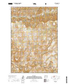
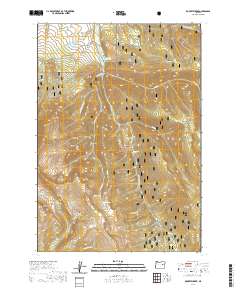
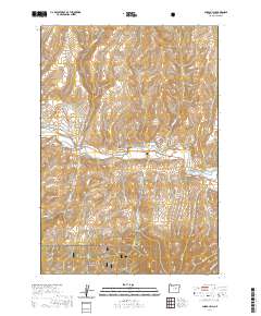
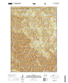
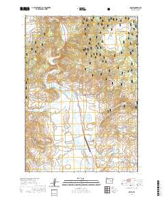
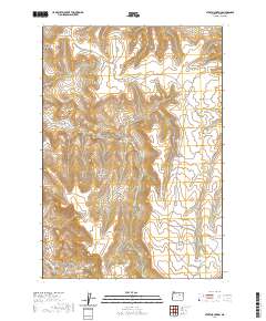
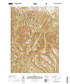
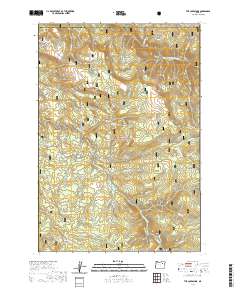
Editions of this 1951 Bates Map
3 editions found
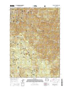
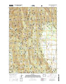
Historical Maps of Baker County Through Time
526 maps found
1940 Aldrich Mtn.
Grant County, OR
1943 Aldrich Mtn.
Grant County, OR
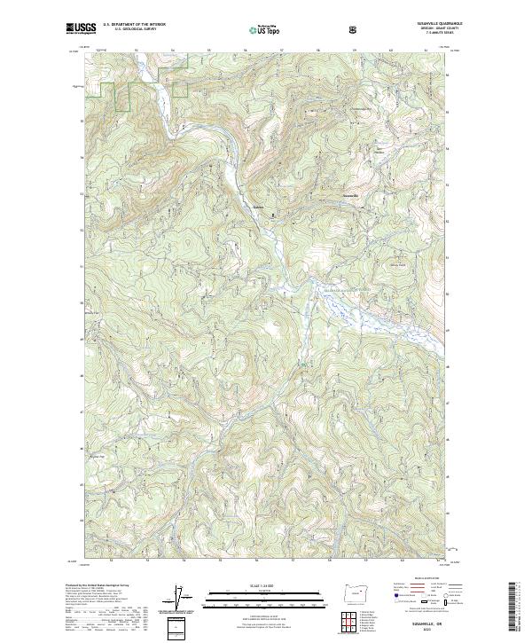
1949 Susanville
Grant County, OR
1950 Ritter
Grant County, OR
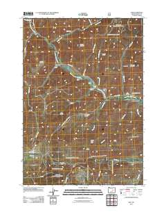
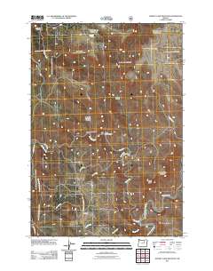
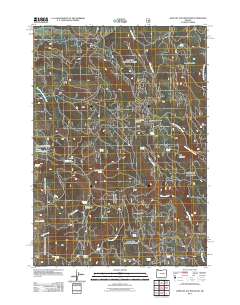
1951 Bates
Grant County, OR
1951 Courtrock
Grant County, OR
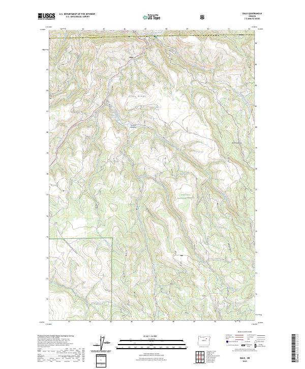
1951 Dale
Grant County, OR
1951 Desolation Butte
Grant County, OR
1951 Susanville
Grant County, OR
1952 Ritter
Grant County, OR
1953 Kimberly
Grant County, OR
1953 Picture Gorge
Grant County, OR
1961 Izee
Grant County, OR
1961 Logan Valley
Grant County, OR
1961 Logdell
Grant County, OR
1970 Flag Prairie
Grant County, OR
1972 Aldrich Gulch
Grant County, OR
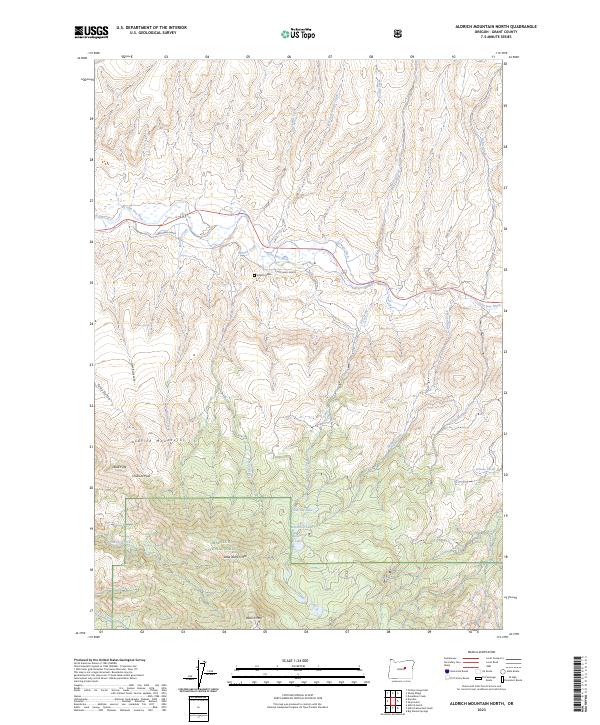
1972 Aldrich Mountain North
Grant County, OR
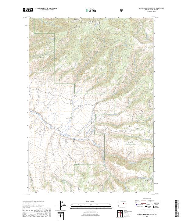
1972 Aldrich Mountain South
Grant County, OR
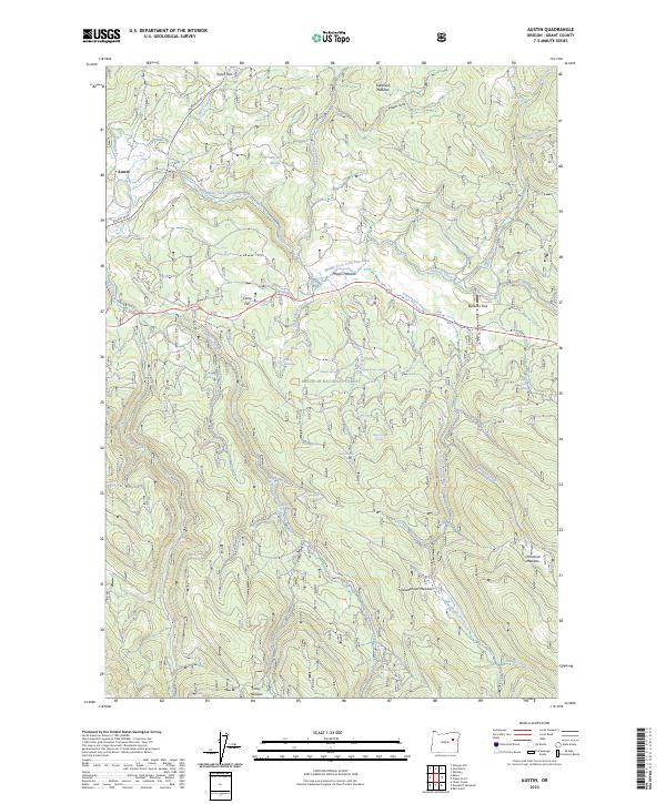
1972 Austin
Grant County, OR
1972 Big Weasel Sprs
Grant County, OR
1972 Canyon Mtn
Grant County, OR
1972 Castle Creek
Grant County, OR
1972 Crawfish Lake
Grant County, OR
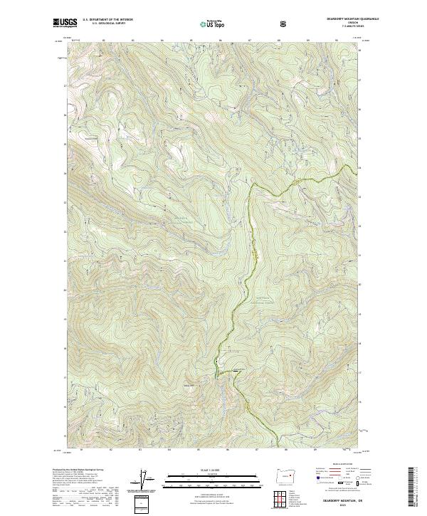
1972 Deardorff Mtn
Grant County, OR
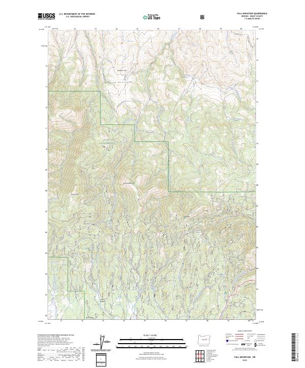
1972 Fall Mountain
Grant County, OR
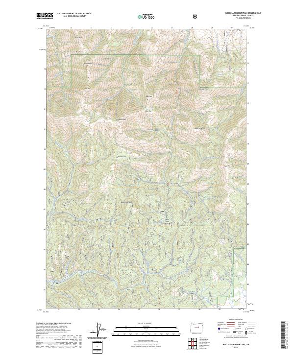
1972 Mc Clellan Mtn
Grant County, OR
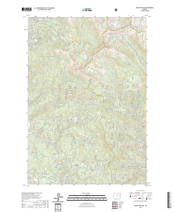
1972 Mt. Ireland
Grant County, OR
1972 Pine Creek Mtn
Grant County, OR
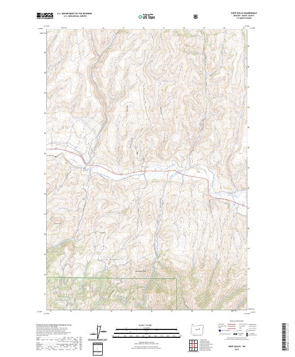
1972 Shop Gulch
Grant County, OR
1972 Trout Meadows
Grant County, OR
1972 Wolfinger Butte
Grant County, OR
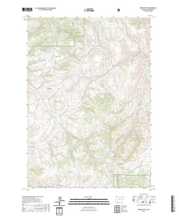
1981 Funny Butte
Grant County, OR
1981 Suplee Butte
Grant County, OR
1987 Bates
Grant County, OR
1988 Bates
Grant County, OR
1988 Boulder Butte
Grant County, OR
1988 Desolation Butte
Grant County, OR
1988 Dixie Meadows
Grant County, OR
1988 Dollar Basin
Grant County, OR
1988 Isham Creek
Grant County, OR

1988 Kelsay Butte
Grant County, OR
1988 Logan Valley East
Grant County, OR
1988 Logan Valley West
Grant County, OR
1988 Magpie Table
Grant County, OR
1988 Olive Lake
Grant County, OR
1988 Roberts Creek
Grant County, OR
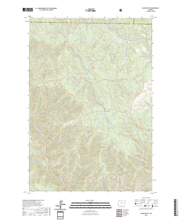
1988 Silver Butte
Grant County, OR
1988 Strawberry Mtn
Grant County, OR
1988 Vinegar Hill
Grant County, OR
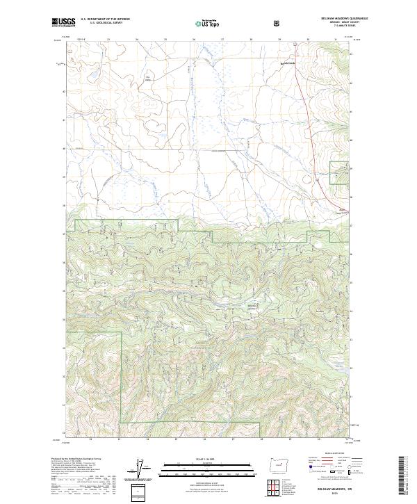
1990 Belshaw Meadows
Grant County, OR
1990 Big Canyon
Grant County, OR
1990 Bologna Basin
Grant County, OR
1990 Buck Trough Spring
Grant County, OR
1990 Bullock Gulch
Grant County, OR
1990 Cougar Rock
Grant County, OR
1990 Courthouse Rock
Grant County, OR
1990 Crane Prairie
Grant County, OR
1990 Dale
Grant County, OR
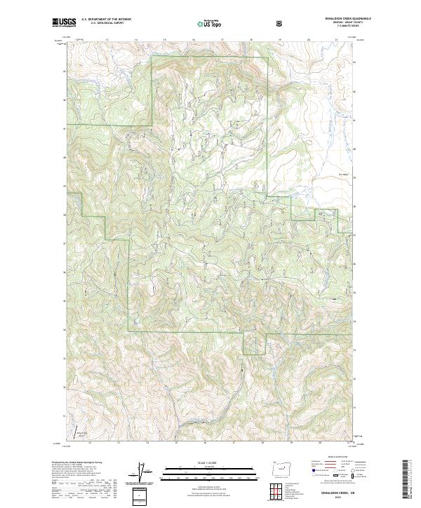
1990 Donaldson Creek
Grant County, OR
1990 Five Hundred Flat
Grant County, OR
1990 Flag Prairie
Grant County, OR
1990 Flagtail Mountain
Grant County, OR
1990 Flowers Gulch
Grant County, OR
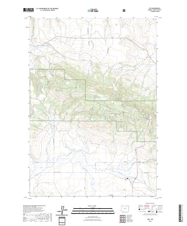
1990 Fox
Grant County, OR
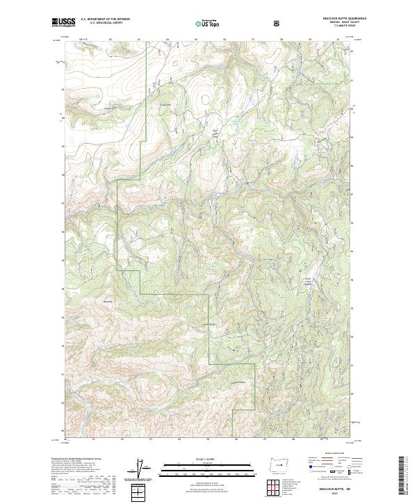
1990 Graylock Butte
Grant County, OR
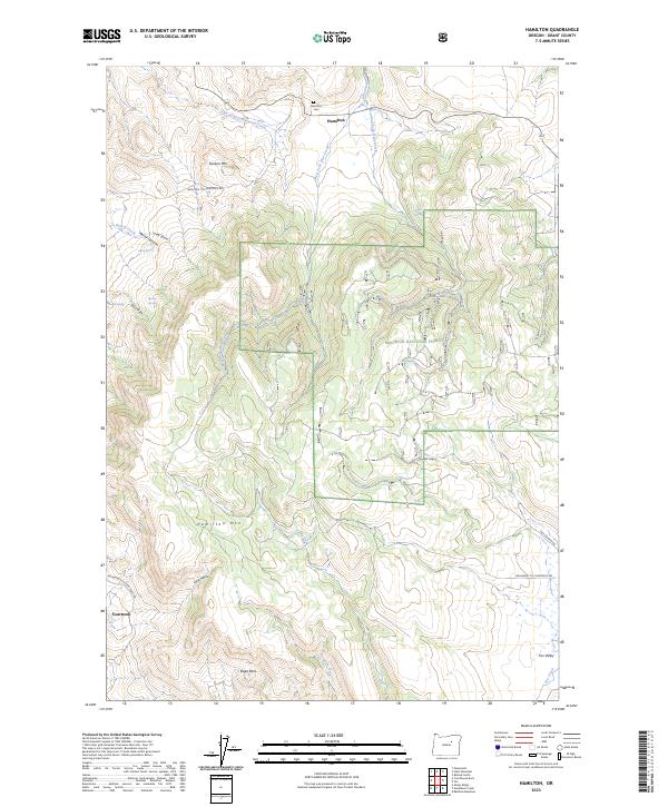
1990 Hamilton
Grant County, OR
1990 Izee
Grant County, OR
1990 Johnny Cake Mtn
Grant County, OR
1990 Johnson Saddle
Grant County, OR
1990 Jump-Off Joe Mountain
Grant County, OR
1990 Keeney Point
Grant County, OR
1990 Knox Mountain
Grant County, OR
1990 Lewis Creek
Grant County, OR
1990 Logdell
Grant County, OR
1990 Magone Lake
Grant County, OR
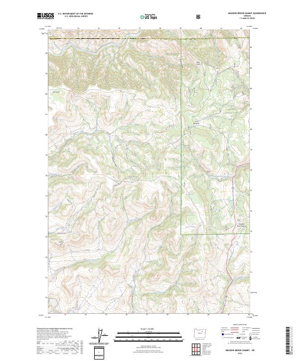
1990 Meadow Brook Summit
Grant County, OR
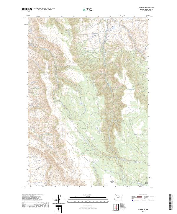
1990 Miller Flat
Grant County, OR
1990 Picture Gorge East
Grant County, OR
1990 Rail Creek Butte
Grant County, OR
1990 Ritter
Grant County, OR
1990 Scotty Creek
Grant County, OR
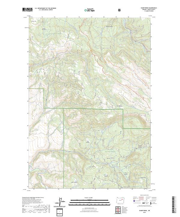
1990 Sharp Ridge
Grant County, OR
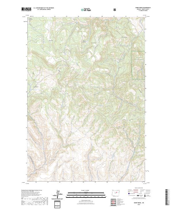
1990 Sheep Ridge
Grant County, OR
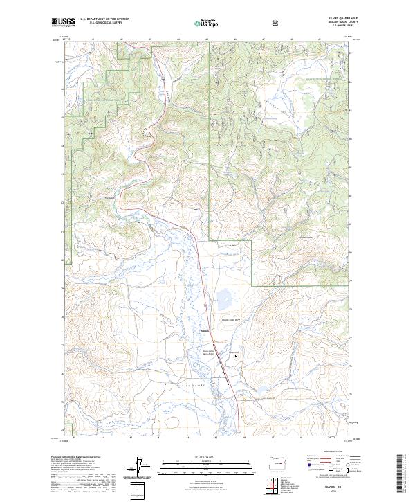
1990 Silvies
Grant County, OR
1990 Slickear Mtn
Grant County, OR
1990 Steet Mtn.
Grant County, OR
1990 Susanville
Grant County, OR
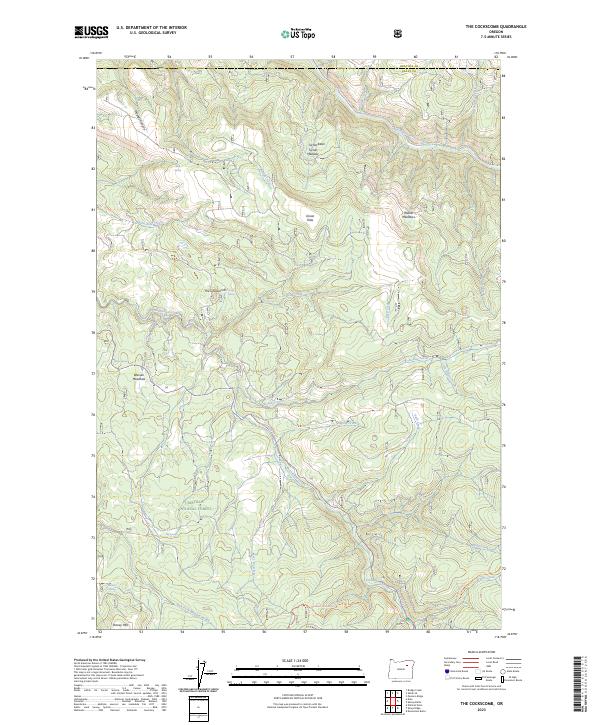
1990 The Cockscomb
Grant County, OR
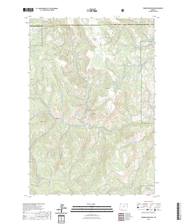
1990 Turner Mountain
Grant County, OR
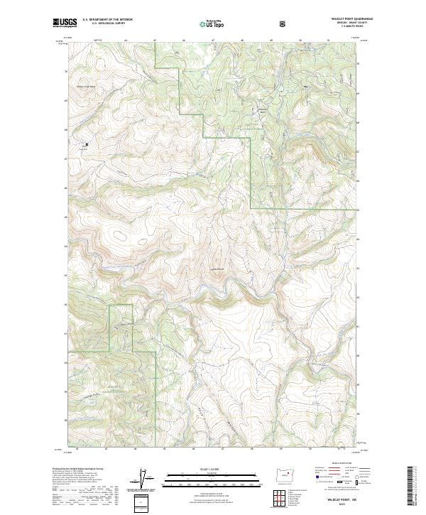
1990 Wildcat Point
Grant County, OR
1992 Aldrich Gulch
Grant County, OR
1992 Funny Butte
Grant County, OR
1992 Suplee Butte
Grant County, OR
1995 Bologna Basin
Grant County, OR
1995 Boulder Butte
Grant County, OR
1995 Dale
Grant County, OR
1995 Desolation Butte
Grant County, OR
1995 Johnny Cake Mountain
Grant County, OR
1995 Kelsay Butte
Grant County, OR
1995 Meadow Brook Summit
Grant County, OR
1995 Ritter
Grant County, OR
1995 Sharp Ridge
Grant County, OR
1995 Silver Butte
Grant County, OR
1995 Slickear Mountain
Grant County, OR
1995 The Cockscomb
Grant County, OR
1995 Trout Meadows
Grant County, OR
1995 Turner Mountain
Grant County, OR
1995 Vinegar Hill
Grant County, OR
1995 Wildcat Point
Grant County, OR
1996 Bates
Grant County, OR
1996 Dixie Meadows
Grant County, OR
1996 Dollar Basin
Grant County, OR
1996 Isham Creek
Grant County, OR
1996 Logan Valley West
Grant County, OR
1996 Magpie Table
Grant County, OR
1996 Roberts Creek
Grant County, OR

1996 Strawberry Mountain
Grant County, OR
1998 Aldrich Mountain North
Grant County, OR
1998 Aldrich Mountain South
Grant County, OR
1998 Austin
Grant County, OR
1998 Big Canyon
Grant County, OR
1998 Big Weasel Springs
Grant County, OR
1998 Canyon Mountain
Grant County, OR
1998 Castle Creek
Grant County, OR
1998 Deardorff Mountain
Grant County, OR
1998 Fall Mountain
Grant County, OR
1998 Five Hundred Flat
Grant County, OR
1998 Flagtail Mountain
Grant County, OR
1998 Graylock Butte
Grant County, OR
1998 Izee
Grant County, OR
1998 Lewis Creek
Grant County, OR
1998 Mc Clellan Mountain
Grant County, OR
1998 Pine Creek Mountain
Grant County, OR
1998 Rail Creek Butte
Grant County, OR
1998 Scotty Creek
Grant County, OR
1998 Wolfinger Butte
Grant County, OR
1999 Belshaw Meadows
Grant County, OR
1999 Buck Trough Spring
Grant County, OR
1999 Cougar Rock
Grant County, OR
1999 Crane Prairie
Grant County, OR
1999 Donaldson Creek
Grant County, OR
1999 Flag Prairie
Grant County, OR
1999 Flowers Gulch
Grant County, OR
1999 Fox
Grant County, OR
1999 Hamilton
Grant County, OR

1999 Johnson Saddle
Grant County, OR
1999 Jump-Off Joe Mountain
Grant County, OR
1999 Keeney Point
Grant County, OR
1999 Knox Mountain
Grant County, OR
1999 Logan Valley East
Grant County, OR
1999 Magone Lake
Grant County, OR
1999 Sheep Ridge
Grant County, OR
1999 Silvies
Grant County, OR

1999 Susanville
Grant County, OR
2011 Aldrich Gulch
Grant County, OR
2011 Aldrich Mountain North
Grant County, OR
2011 Aldrich Mountain South
Grant County, OR
2011 Austin
Grant County, OR
2011 Bates
Grant County, OR
2011 Belshaw Meadows
Grant County, OR
2011 Big Canyon
Grant County, OR
2011 Big Weasel Springs
Grant County, OR
2011 Bologna Basin
Grant County, OR
2011 Boulder Butte
Grant County, OR
2011 Buck Trough Spring
Grant County, OR
2011 Bullock Gulch
Grant County, OR
2011 Canyon Mountain
Grant County, OR
2011 Castle Creek
Grant County, OR
2011 Cougar Rock
Grant County, OR
2011 Courthouse Rock
Grant County, OR
2011 Crane Prairie
Grant County, OR

2011 Crawfish Lake
Grant County, OR
2011 Dale
Grant County, OR
2011 Deardorff Mountain
Grant County, OR
2011 Desolation Butte
Grant County, OR
2011 Dixie Meadows
Grant County, OR
2011 Dollar Basin
Grant County, OR
2011 Donaldson Creek
Grant County, OR
2011 Fall Mountain
Grant County, OR
2011 Five Hundred Flat
Grant County, OR
2011 Flag Prairie
Grant County, OR
2011 Flagtail Mountain
Grant County, OR

2011 Flowers Gulch
Grant County, OR
2011 Fox
Grant County, OR
2011 Funny Butte
Grant County, OR
2011 Graylock Butte
Grant County, OR
2011 Hamilton
Grant County, OR
2011 Isham Creek
Grant County, OR
2011 Izee
Grant County, OR
2011 Johnny Cake Mountain
Grant County, OR

2011 Johnson Saddle
Grant County, OR
2011 Jump-off Joe Mountain
Grant County, OR

2011 Keeney Point
Grant County, OR

2011 Kelsay Butte
Grant County, OR
2011 Knox Mountain
Grant County, OR
2011 Lewis Creek
Grant County, OR
2011 Logan Valley East
Grant County, OR
2011 Logan Valley West
Grant County, OR
2011 Logdell
Grant County, OR
2011 Magone Lake
Grant County, OR
2011 Magpie Table
Grant County, OR
2011 McClellan Mountain
Grant County, OR
2011 Meadow Brook Summit
Grant County, OR
2011 Miller Flat
Grant County, OR
2011 Mount Ireland
Grant County, OR

2011 Olive Lake
Grant County, OR
2011 Picture Gorge East
Grant County, OR
2011 Pine Creek Mountain
Grant County, OR
2011 Rail Creek Butte
Grant County, OR
2011 Ritter
Grant County, OR
2011 Roberts Creek
Grant County, OR
2011 Scotty Creek
Grant County, OR
2011 Sharp Ridge
Grant County, OR
2011 Sheep Ridge
Grant County, OR
2011 Shop Gulch
Grant County, OR
2011 Silver Butte
Grant County, OR

2011 Silvies
Grant County, OR
2011 Slickear Mountain
Grant County, OR
2011 Steet Mountain
Grant County, OR
2011 Strawberry Mountain
Grant County, OR
2011 Suplee Butte
Grant County, OR
2011 Susanville
Grant County, OR
2011 The Cockscomb
Grant County, OR
2011 Trout Meadows
Grant County, OR
2011 Turner Mountain
Grant County, OR
2011 Vinegar Hill
Grant County, OR
2011 Wildcat Point
Grant County, OR
2011 Wolfinger Butte
Grant County, OR
2014 Aldrich Gulch
Grant County, OR
2014 Aldrich Mountain North
Grant County, OR
2014 Aldrich Mountain South
Grant County, OR
2014 Austin
Grant County, OR
2014 Bates
Grant County, OR
2014 Belshaw Meadows
Grant County, OR
2014 Big Canyon
Grant County, OR
2014 Big Weasel Springs
Grant County, OR
2014 Bologna Basin
Grant County, OR
2014 Boulder Butte
Grant County, OR
2014 Buck Trough Spring
Grant County, OR
2014 Bullock Gulch
Grant County, OR
2014 Canyon Mountain
Grant County, OR
2014 Castle Creek
Grant County, OR
2014 Cougar Rock
Grant County, OR
2014 Courthouse Rock
Grant County, OR
2014 Crane Prairie
Grant County, OR
2014 Crawfish Lake
Grant County, OR
2014 Dale
Grant County, OR
2014 Deardorff Mountain
Grant County, OR
2014 Desolation Butte
Grant County, OR
2014 Dixie Meadows
Grant County, OR
2014 Dollar Basin
Grant County, OR
2014 Donaldson Creek
Grant County, OR
2014 Fall Mountain
Grant County, OR

2014 Five Hundred Flat
Grant County, OR
2014 Flag Prairie
Grant County, OR
2014 Flagtail Mountain
Grant County, OR
2014 Flowers Gulch
Grant County, OR
2014 Fox
Grant County, OR

2014 Funny Butte
Grant County, OR
2014 Graylock Butte
Grant County, OR

2014 Hamilton
Grant County, OR

2014 Isham Creek
Grant County, OR
2014 Izee
Grant County, OR
2014 Johnny Cake Mountain
Grant County, OR
2014 Johnson Saddle
Grant County, OR
2014 Jump-off Joe Mountain
Grant County, OR
2014 Keeney Point
Grant County, OR
2014 Kelsay Butte
Grant County, OR
2014 Knox Mountain
Grant County, OR
2014 Lewis Creek
Grant County, OR
2014 Logan Valley East
Grant County, OR
2014 Logan Valley West
Grant County, OR
2014 Logdell
Grant County, OR
2014 Magone Lake
Grant County, OR
2014 Magpie Table
Grant County, OR

2014 McClellan Mountain
Grant County, OR
2014 Meadow Brook Summit
Grant County, OR
2014 Miller Flat
Grant County, OR
2014 Mount Ireland
Grant County, OR

2014 Olive Lake
Grant County, OR
2014 Picture Gorge East
Grant County, OR
2014 Pine Creek Mountain
Grant County, OR
2014 Rail Creek Butte
Grant County, OR
2014 Ritter
Grant County, OR

2014 Roberts Creek
Grant County, OR
2014 Scotty Creek
Grant County, OR
2014 Sharp Ridge
Grant County, OR
2014 Sheep Ridge
Grant County, OR
2014 Shop Gulch
Grant County, OR

2014 Silver Butte
Grant County, OR
2014 Silvies
Grant County, OR
2014 Slickear Mountain
Grant County, OR
2014 Steet Mountain
Grant County, OR
2014 Strawberry Mountain
Grant County, OR

2014 Suplee Butte
Grant County, OR
2014 Susanville
Grant County, OR
2014 The Cockscomb
Grant County, OR
2014 Trout Meadows
Grant County, OR
2014 Turner Mountain
Grant County, OR
2014 Vinegar Hill
Grant County, OR
2014 Wildcat Point
Grant County, OR
2014 Wolfinger Butte
Grant County, OR
2017 Aldrich Gulch
Grant County, OR
2017 Aldrich Mountain North
Grant County, OR

2017 Aldrich Mountain South
Grant County, OR
2017 Austin
Grant County, OR
2017 Bates
Grant County, OR
2017 Belshaw Meadows
Grant County, OR
2017 Big Canyon
Grant County, OR
2017 Big Weasel Springs
Grant County, OR
2017 Bologna Basin
Grant County, OR
2017 Boulder Butte
Grant County, OR
2017 Buck Trough Spring
Grant County, OR

2017 Bullock Gulch
Grant County, OR
2017 Canyon Mountain
Grant County, OR
2017 Castle Creek
Grant County, OR
2017 Cougar Rock
Grant County, OR
2017 Courthouse Rock
Grant County, OR
2017 Crane Prairie
Grant County, OR
2017 Crawfish Lake
Grant County, OR
2017 Dale
Grant County, OR
2017 Deardorff Mountain
Grant County, OR
2017 Desolation Butte
Grant County, OR

2017 Dixie Meadows
Grant County, OR
2017 Dollar Basin
Grant County, OR
2017 Donaldson Creek
Grant County, OR
2017 Fall Mountain
Grant County, OR
2017 Five Hundred Flat
Grant County, OR
2017 Flag Prairie
Grant County, OR
2017 Flagtail Mountain
Grant County, OR
2017 Flowers Gulch
Grant County, OR
2017 Fox
Grant County, OR
2017 Funny Butte
Grant County, OR
2017 Graylock Butte
Grant County, OR
2017 Hamilton
Grant County, OR
2017 Isham Creek
Grant County, OR
2017 Izee
Grant County, OR
2017 Johnny Cake Mountain
Grant County, OR
2017 Johnson Saddle
Grant County, OR
2017 Jump-off Joe Mountain
Grant County, OR
2017 Keeney Point
Grant County, OR
2017 Kelsay Butte
Grant County, OR
2017 Knox Mountain
Grant County, OR

2017 Lewis Creek
Grant County, OR
2017 Logan Valley East
Grant County, OR
2017 Logan Valley West
Grant County, OR
2017 Logdell
Grant County, OR
2017 Magone Lake
Grant County, OR
2017 Magpie Table
Grant County, OR
2017 McClellan Mountain
Grant County, OR
2017 Meadow Brook Summit
Grant County, OR
2017 Miller Flat
Grant County, OR
2017 Mount Ireland
Grant County, OR
2017 Olive Lake
Grant County, OR
2017 Picture Gorge East
Grant County, OR
2017 Pine Creek Mountain
Grant County, OR
2017 Rail Creek Butte
Grant County, OR
2017 Ritter
Grant County, OR
2017 Roberts Creek
Grant County, OR

2017 Scotty Creek
Grant County, OR
2017 Sharp Ridge
Grant County, OR
2017 Sheep Ridge
Grant County, OR
2017 Shop Gulch
Grant County, OR
2017 Silver Butte
Grant County, OR
2017 Silvies
Grant County, OR
2017 Slickear Mountain
Grant County, OR

2017 Steet Mountain
Grant County, OR
2017 Strawberry Mountain
Grant County, OR
2017 Suplee Butte
Grant County, OR
2017 Susanville
Grant County, OR
2017 The Cockscomb
Grant County, OR
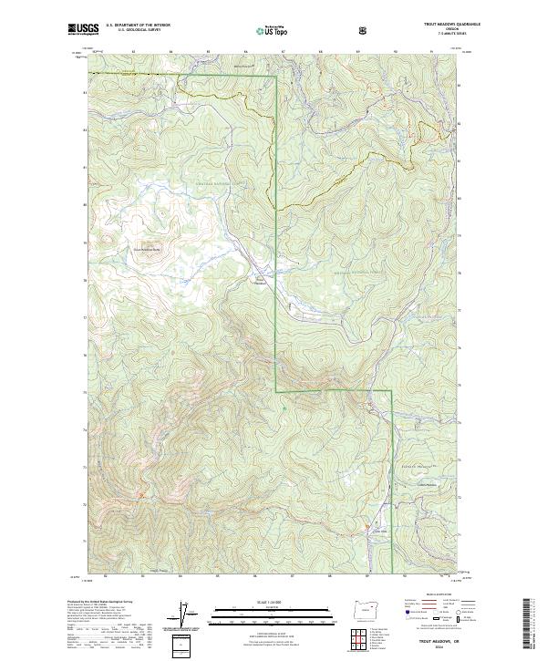
2017 Trout Meadows
Grant County, OR
2017 Turner Mountain
Grant County, OR
2017 Vinegar Hill
Grant County, OR
2017 Wildcat Point
Grant County, OR
2017 Wolfinger Butte
Grant County, OR
2020 Aldrich Gulch
Grant County, OR
2020 Aldrich Mountain North
Grant County, OR
2020 Aldrich Mountain South
Grant County, OR
2020 Austin
Grant County, OR
2020 Bates
Grant County, OR
2020 Belshaw Meadows
Grant County, OR
2020 Big Canyon
Grant County, OR
2020 Big Weasel Springs
Grant County, OR
2020 Bologna Basin
Grant County, OR
2020 Boulder Butte
Grant County, OR
2020 Buck Trough Spring
Grant County, OR
2020 Bullock Gulch
Grant County, OR
2020 Canyon Mountain
Grant County, OR
2020 Castle Creek
Grant County, OR
2020 Cougar Rock
Grant County, OR
2020 Courthouse Rock
Grant County, OR
2020 Crane Prairie
Grant County, OR
2020 Crawfish Lake
Grant County, OR
2020 Dale
Grant County, OR
2020 Deardorff Mountain
Grant County, OR
2020 Desolation Butte
Grant County, OR
2020 Dixie Meadows
Grant County, OR

2020 Dollar Basin
Grant County, OR

2020 Donaldson Creek
Grant County, OR
2020 Fall Mountain
Grant County, OR
2020 Five Hundred Flat
Grant County, OR
2020 Flag Prairie
Grant County, OR
2020 Flagtail Mountain
Grant County, OR
2020 Flowers Gulch
Grant County, OR
2020 Fox
Grant County, OR
2020 Funny Butte
Grant County, OR
2020 Graylock Butte
Grant County, OR
2020 Hamilton
Grant County, OR
2020 Isham Creek
Grant County, OR

2020 Izee
Grant County, OR
2020 Johnny Cake Mountain
Grant County, OR
2020 Johnson Saddle
Grant County, OR
2020 Jump-off Joe Mountain
Grant County, OR
2020 Keeney Point
Grant County, OR
2020 Kelsay Butte
Grant County, OR
2020 Knox Mountain
Grant County, OR
2020 Lewis Creek
Grant County, OR
2020 Logan Valley East
Grant County, OR
2020 Logan Valley West
Grant County, OR
2020 Logdell
Grant County, OR
2020 Magone Lake
Grant County, OR
2020 Magpie Table
Grant County, OR
2020 McClellan Mountain
Grant County, OR
2020 Meadow Brook Summit
Grant County, OR
2020 Miller Flat
Grant County, OR
2020 Mount Ireland
Grant County, OR
2020 Olive Lake
Grant County, OR
2020 Picture Gorge East
Grant County, OR
2020 Pine Creek Mountain
Grant County, OR
2020 Rail Creek Butte
Grant County, OR
2020 Ritter
Grant County, OR
2020 Roberts Creek
Grant County, OR
2020 Scotty Creek
Grant County, OR

2020 Sharp Ridge
Grant County, OR
2020 Sheep Ridge
Grant County, OR
2020 Shop Gulch
Grant County, OR
2020 Silver Butte
Grant County, OR
2020 Silvies
Grant County, OR
2020 Slickear Mountain
Grant County, OR
2020 Steet Mountain
Grant County, OR
2020 Strawberry Mountain
Grant County, OR
2020 Suplee Butte
Grant County, OR
2020 Susanville
Grant County, OR
2020 The Cockscomb
Grant County, OR
2020 Trout Meadows
Grant County, OR
2020 Turner Mountain
Grant County, OR
2020 Vinegar Hill
Grant County, OR
2020 Wildcat Point
Grant County, OR
2020 Wolfinger Butte
Grant County, OR
2023 Aldrich Mountain North
Grant County, OR
2023 Aldrich Mountain South
Grant County, OR
2023 Austin
Grant County, OR
2023 Bates
Grant County, OR
2023 Belshaw Meadows
Grant County, OR
2023 Big Canyon
Grant County, OR
2023 Big Weasel Springs
Grant County, OR
2023 Bologna Basin
Grant County, OR
2023 Boulder Butte
Grant County, OR
2023 Buck Trough Spring
Grant County, OR
2023 Cougar Rock
Grant County, OR
2023 Courthouse Rock
Grant County, OR
2023 Crane Prairie
Grant County, OR
2023 Dale
Grant County, OR
2023 Deardorff Mountain
Grant County, OR
2023 Donaldson Creek
Grant County, OR
2023 Fall Mountain
Grant County, OR
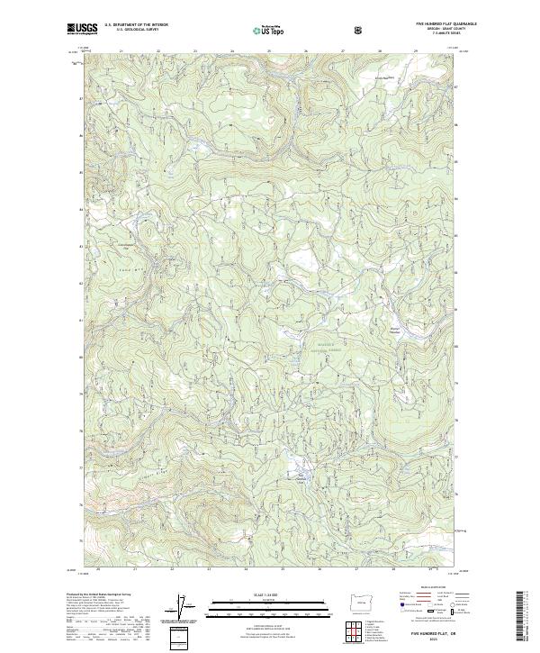
2023 Five Hundred Flat
Grant County, OR
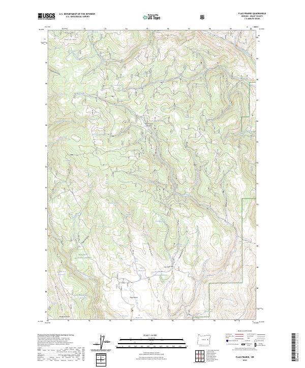
2023 Flag Prairie
Grant County, OR
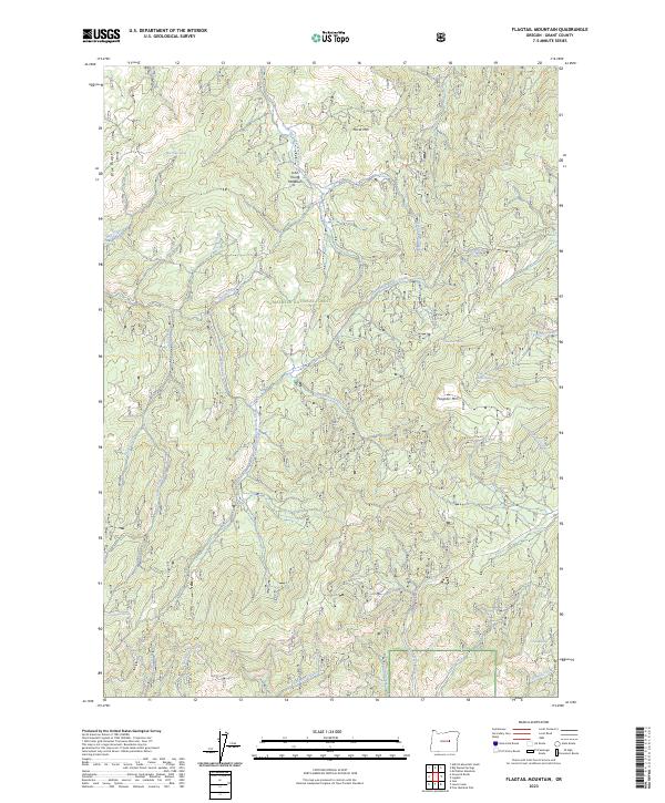
2023 Flagtail Mountain
Grant County, OR
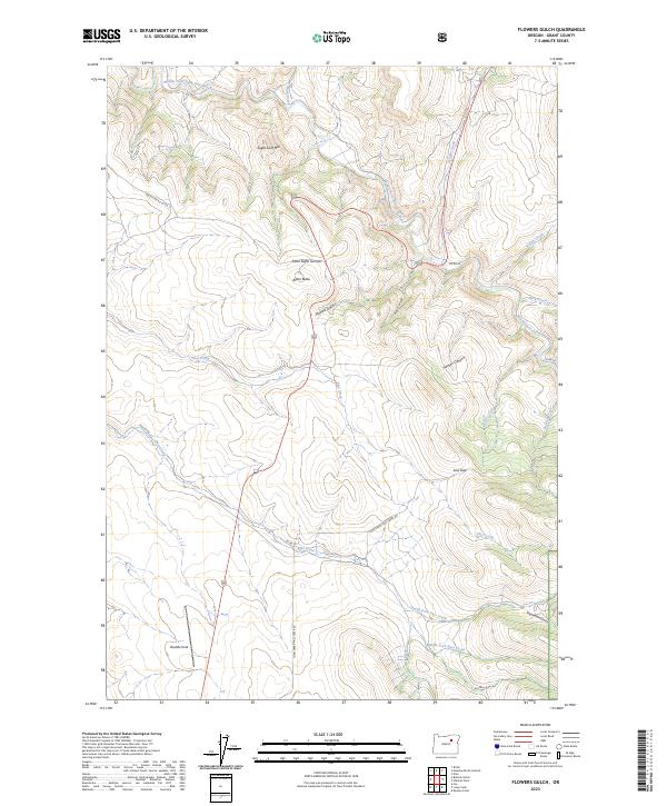
2023 Flowers Gulch
Grant County, OR
2023 Fox
Grant County, OR
2023 Funny Butte
Grant County, OR
2023 Graylock Butte
Grant County, OR
2023 Hamilton
Grant County, OR
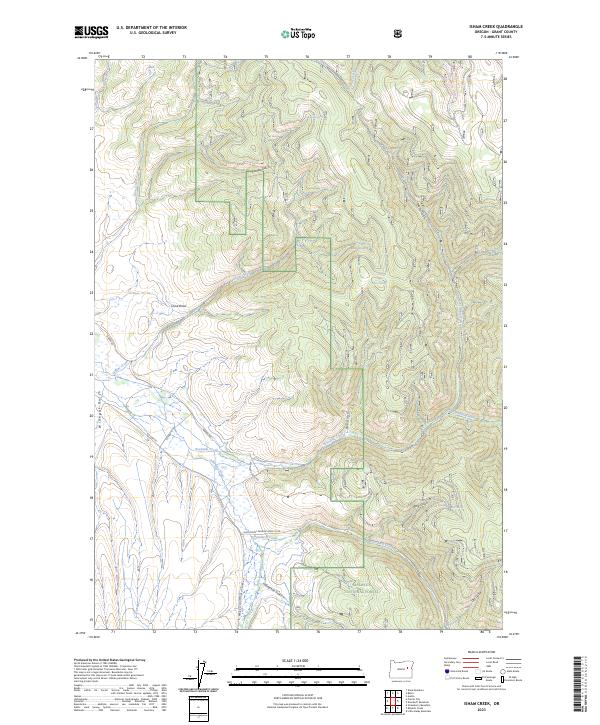
2023 Isham Creek
Grant County, OR
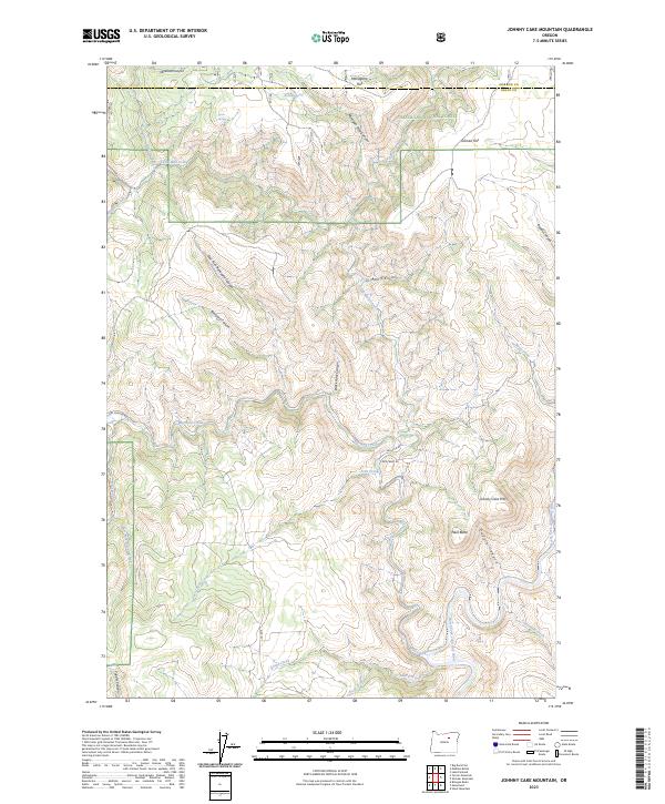
2023 Johnny Cake Mountain
Grant County, OR
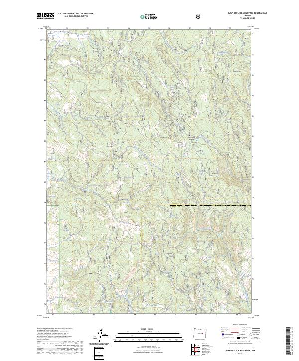
2023 Jump-off Joe Mountain
Grant County, OR
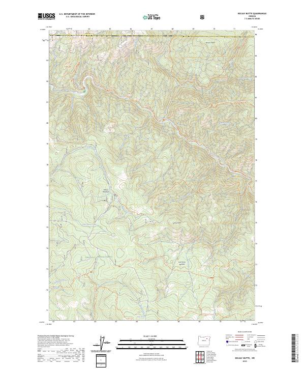
2023 Kelsay Butte
Grant County, OR
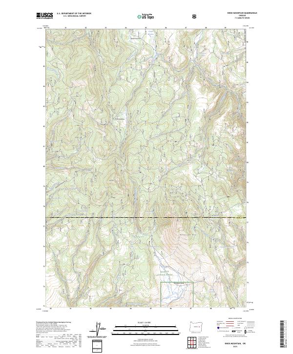
2023 Knox Mountain
Grant County, OR

2023 Lewis Creek
Grant County, OR
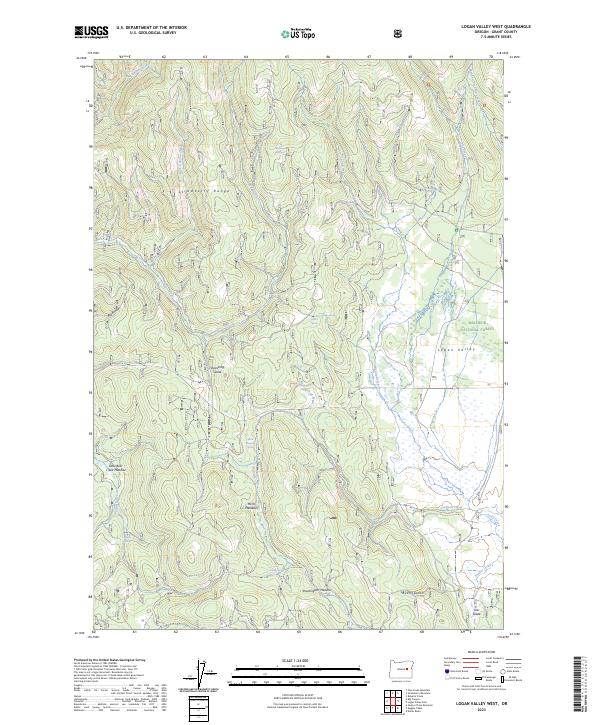
2023 Logan Valley West
Grant County, OR
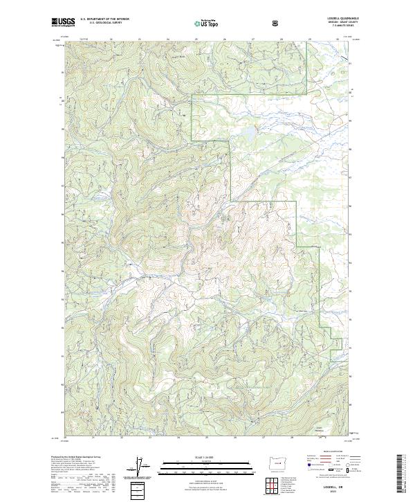
2023 Logdell
Grant County, OR
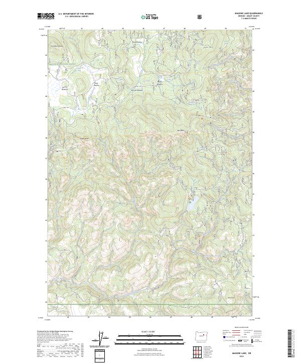
2023 Magone Lake
Grant County, OR

2023 Magpie Table
Grant County, OR
2023 McClellan Mountain
Grant County, OR
2023 Meadow Brook Summit
Grant County, OR
2023 Miller Flat
Grant County, OR
2023 Mount Ireland
Grant County, OR
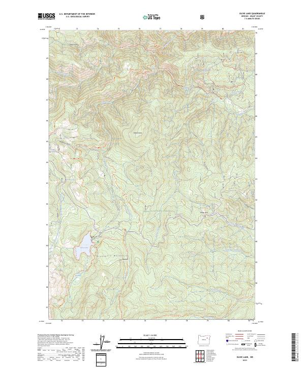
2023 Olive Lake
Grant County, OR
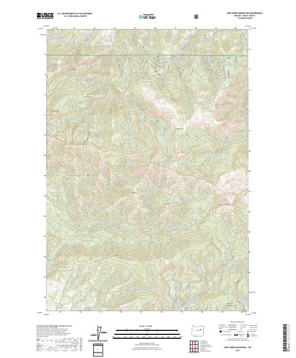
2023 Pine Creek Mountain
Grant County, OR
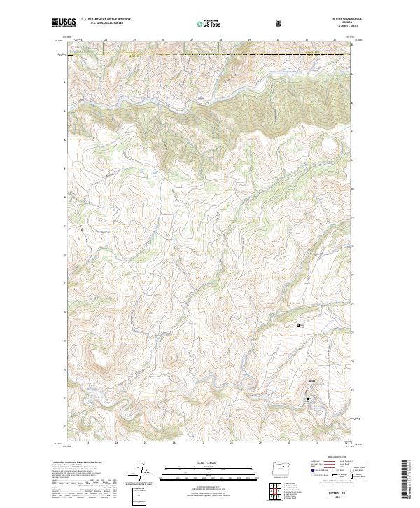
2023 Ritter
Grant County, OR
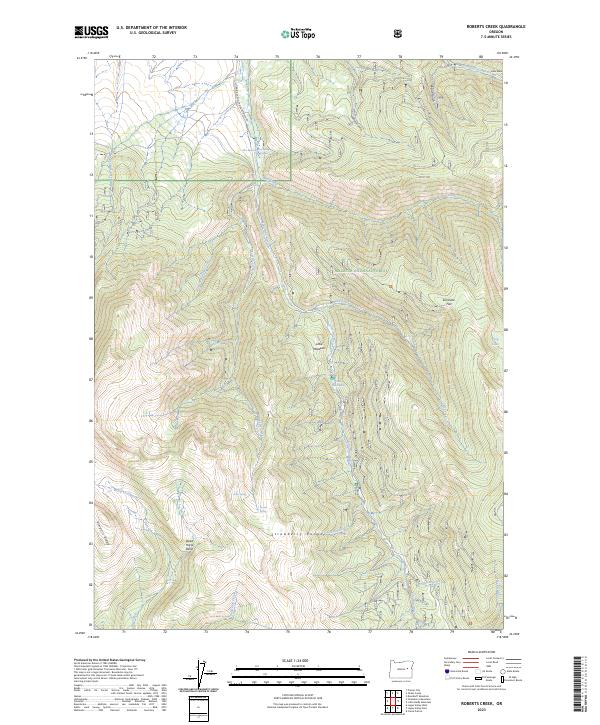
2023 Roberts Creek
Grant County, OR
2023 Sharp Ridge
Grant County, OR
2023 Sheep Ridge
Grant County, OR
2023 Shop Gulch
Grant County, OR
2023 Silver Butte
Grant County, OR
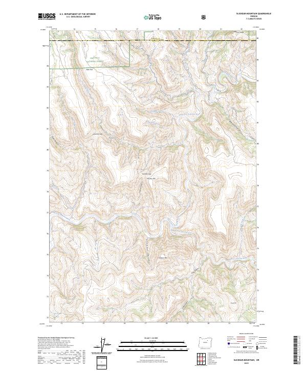
2023 Slickear Mountain
Grant County, OR
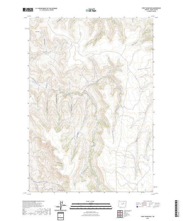
2023 Steet Mountain
Grant County, OR
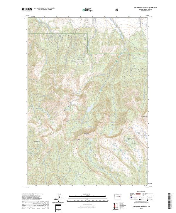
2023 Strawberry Mountain
Grant County, OR
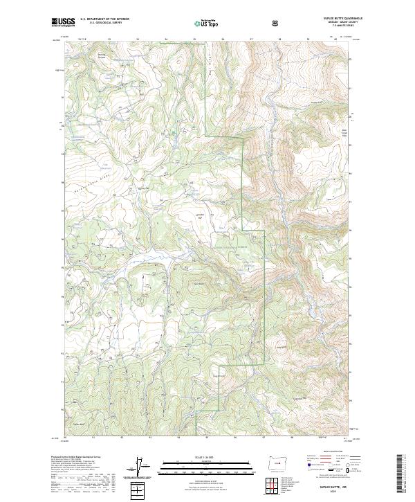
2023 Suplee Butte
Grant County, OR
2023 Susanville
Grant County, OR
2023 The Cockscomb
Grant County, OR
2023 Turner Mountain
Grant County, OR
2023 Wildcat Point
Grant County, OR

2023 Wolfinger Butte
Grant County, OR
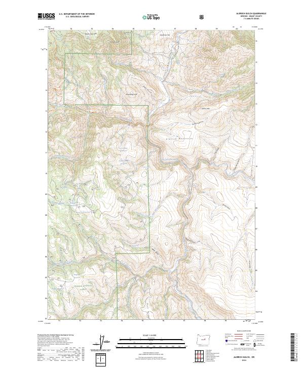
2024 Aldrich Gulch
Grant County, OR
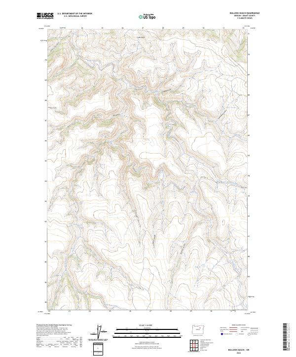
2024 Bullock Gulch
Grant County, OR
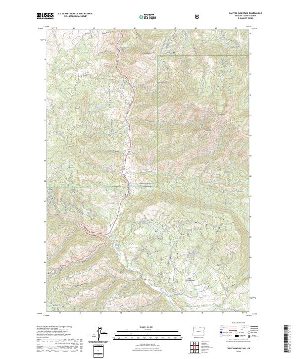
2024 Canyon Mountain
Grant County, OR
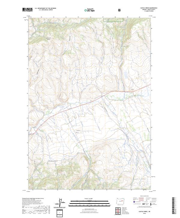
2024 Castle Creek
Grant County, OR
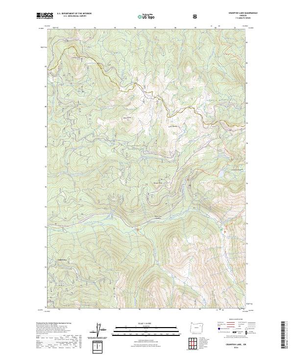
2024 Crawfish Lake
Grant County, OR
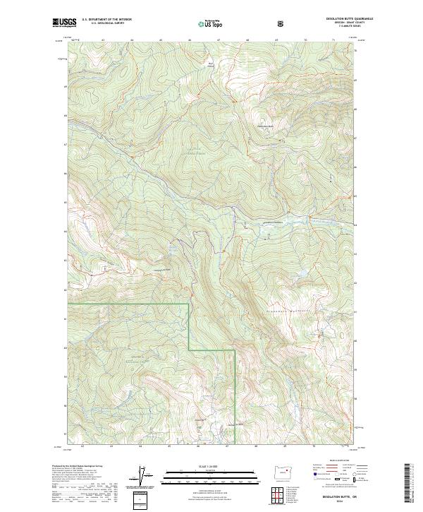
2024 Desolation Butte
Grant County, OR
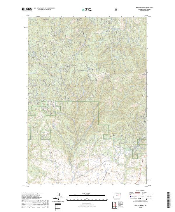
2024 Dixie Meadows
Grant County, OR
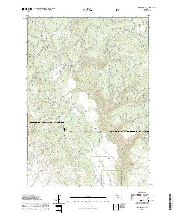
2024 Dollar Basin
Grant County, OR
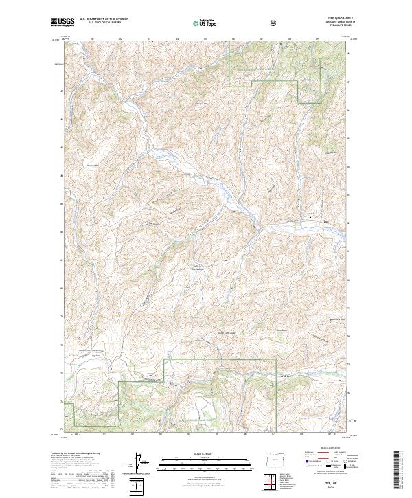
2024 Izee
Grant County, OR
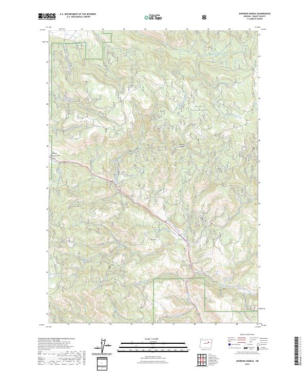
2024 Johnson Saddle
Grant County, OR
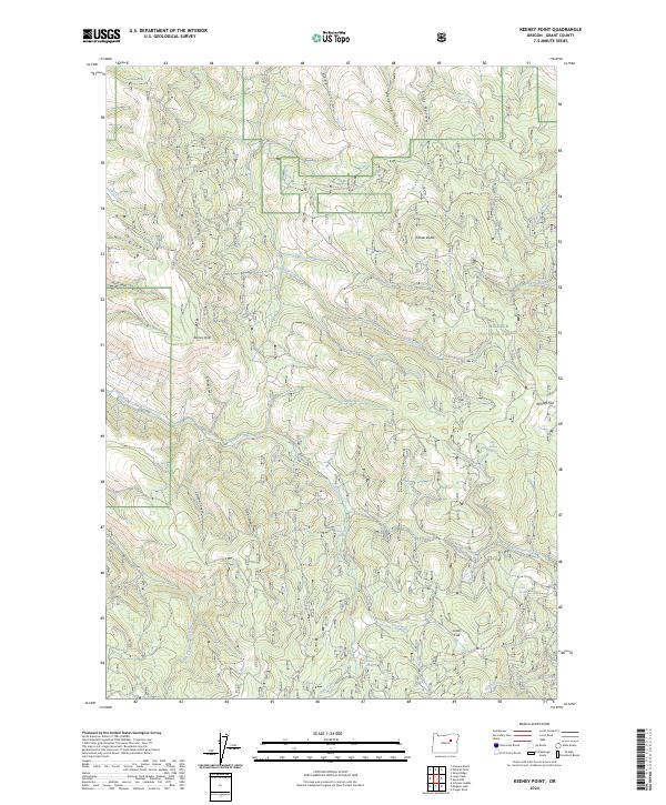
2024 Keeney Point
Grant County, OR
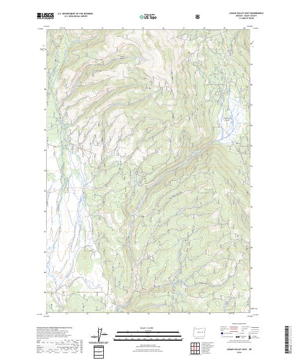
2024 Logan Valley East
Grant County, OR
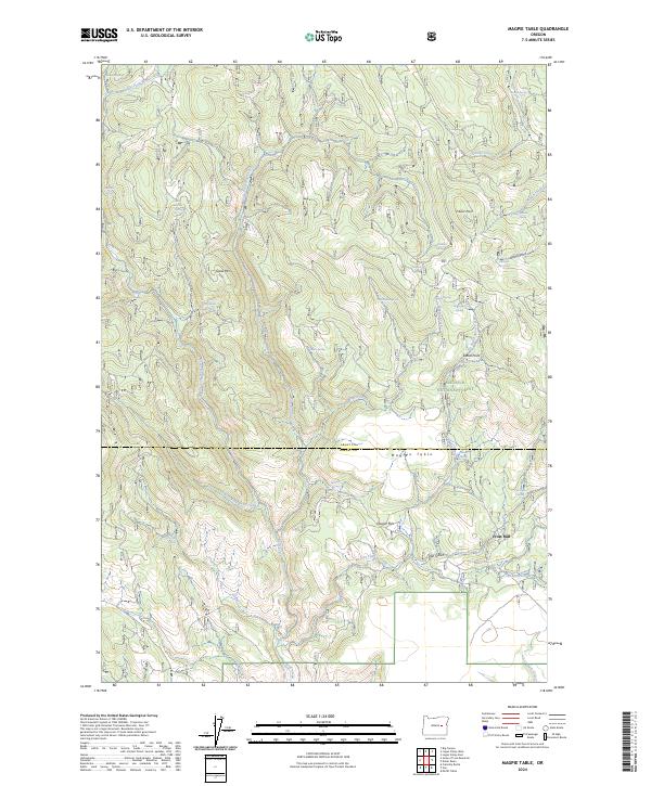
2024 Magpie Table
Grant County, OR
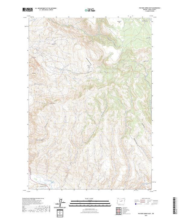
2024 Picture Gorge East
Grant County, OR
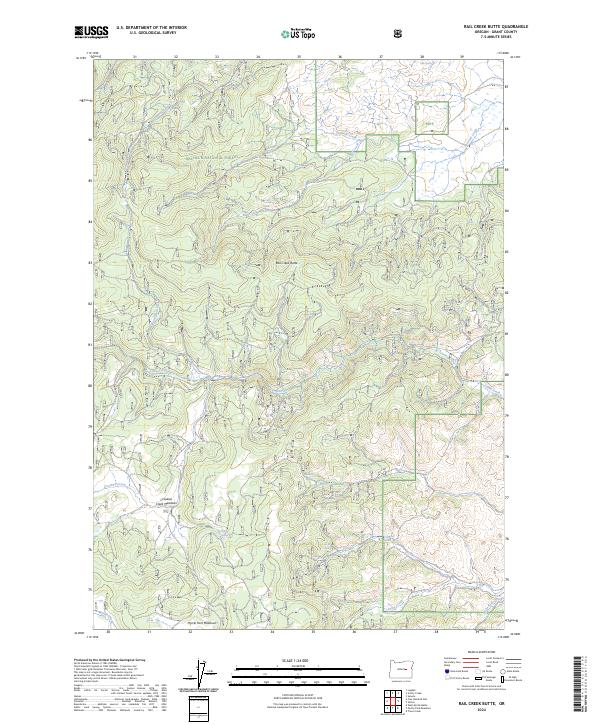
2024 Rail Creek Butte
Grant County, OR
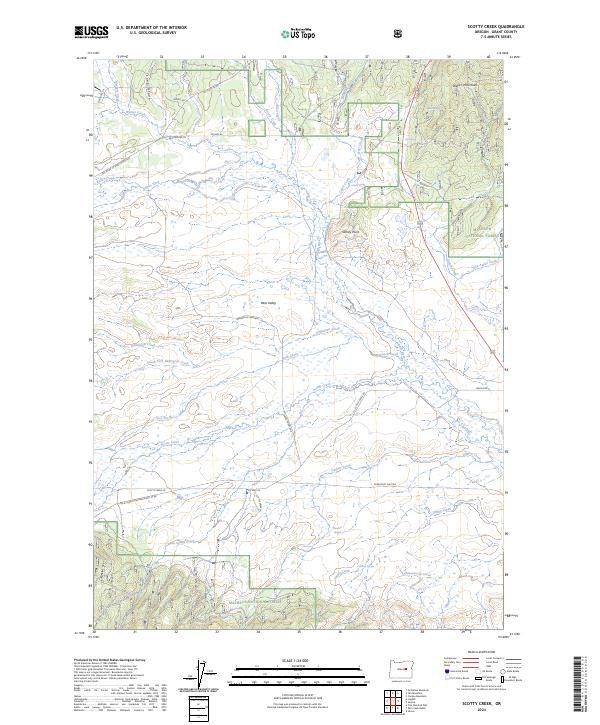
2024 Scotty Creek
Grant County, OR
2024 Silvies
Grant County, OR
2024 Trout Meadows
Grant County, OR
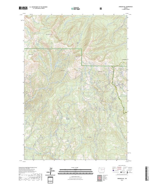
2024 Vinegar Hill
Grant County, OR