
1951 Map of Dale
USGS Topo · Published 1953About this map
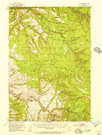
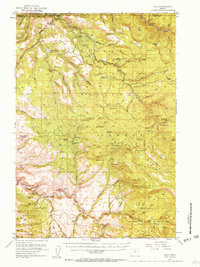
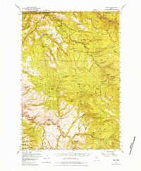
The North Fork John Day River winds through this section of the Blue Mountains, defining the border between Umatilla and Grant Counties in the early 1950s. The settlement at Dale and the nearby Dale Ranger Sta serve as the primary human outposts in a landscape dominated by the Umatilla National Forest. The map reveals a high-elevation network of drainage and ridgelines, including Umatilla Ridge and the sharp topography of The Cockscomb.
Find a feature on this map
102 named features on this map. Tap any name to fly to it.
Don’t see what you’re looking for? This feature index may not catch every label — zoom into the map to look around manually.
Map Details
Editions of this 1951 Dale Map
4 editions found
Other maps of this area

1949 · Long Creek
USGS Topo · 1:62,500

1949 · Susanville
USGS Topo · 1:62,500

1950 · Ritter
USGS Topo · 1:62,500

1951 · Susanville
USGS Topo · 1:62,500

1951 · Long Creek
USGS Topo · 1:62,500

1951 · Bates
USGS Topo · 1:62,500

1951 · Desolation Butte
USGS Topo · 1:62,500

1952 · Ritter
USGS Topo · 1:62,500

1953 · Pendleton
USGS Topo · 1:250,000

1955 · Canyon City
USGS Topo · 1:250,000