
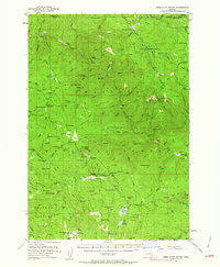
1951 Map of Desolation Butte
USGS Topo · Published 1954About this map
Whitman National Forest and Umatilla National Forest dominate this 1951 study, revealing a landscape defined by resource management and early high-country industry. The network of forest service infrastructure is prominent, featuring the Forks Guard Station, Battle Creek Guard Station, and Desolation Guard Station positioned to monitor the vast timberlands. The mining history of the region is etched into the terrain at sites like Welch Creek Mine and Desolation Mine, while the presence of a pipe line near Olive Lake and its Upper Reservoir suggests sophisticated water and resource transport through the mountains.
Find a feature on this map
112 named features on this map. Tap any name to fly to it.
Don’t see what you’re looking for? This feature index may not catch every label — zoom into the map to look around manually.
Map Details
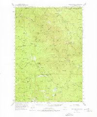
Editions of this 1951 Desolation Butte Map
3 editions found
Other maps of this area

1901 · Sumpter
USGS Topo · 1:125,000

1949 · Susanville
USGS Topo · 1:62,500

1951 · Susanville
USGS Topo · 1:62,500

1951 · Dale
USGS Topo · 1:62,500

1951 · Bates
USGS Topo · 1:62,500

1953 · Pendleton
USGS Topo · 1:250,000

1955 · Canyon City
USGS Topo · 1:250,000

1956 · Pendleton
USGS Topo · 1:250,000

1959 · Canyon City
USGS Topo · 1:250,000

1965 · Fly Valley
USGS Topo · 1:24,000