
1965 Map of Fly Valley
USGS Topo · Published 1968About this map
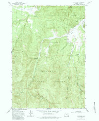
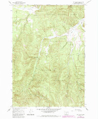
Whitman National Forest dominates this landscape in the mid-1960s, defined by the winding descent of Chicken Creek and Sheep Creek toward the Grande Ronde River. The area illustrates a working wilderness where isolation and utility meet, featuring an isolated Landing Strip near Vey Ranch. Water is the primary driver of names here, from the geothermal activity at Warm Mineral Spring to numerous named seeps like Blue Spring, Dry Chicken Spring, and Johnson Rock Spring. These water sources likely served as critical points for early ranching and forest management. Small-scale industrial activity is evident through a marked Quarry, a Gravel Pit, and a Prospect location, suggesting localized extraction within the steep drainages. The network of Jeep Trails provides the only passage through the dense contour lines, marking the transition from traditional backcountry ranching to modern forest service access.
Find a feature on this map
20 named features on this map. Tap any name to fly to it.
Don’t see what you’re looking for? This feature index may not catch every label — zoom into the map to look around manually.
Map Details
Editions of this 1965 Fly Valley Map
Other maps of this area

1901 · Sumpter
USGS Topo · 1:125,000

1951 · Desolation Butte
USGS Topo · 1:62,500

1953 · Pendleton
USGS Topo · 1:250,000

1955 · Canyon City
USGS Topo · 1:250,000

1956 · Pendleton
USGS Topo · 1:250,000

1959 · Canyon City
USGS Topo · 1:250,000

1965 · Limber Jim Creek
USGS Topo · 1:24,000

1965 · Marley Creek
USGS Topo · 1:24,000

1965 · Little Beaver Creek
USGS Topo · 1:24,000

1967 · Tower Mtn
USGS Topo · 1:24,000