
1965 Map of Limber Jim Creek
USGS Topo · Published 1967About this map
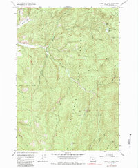
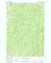
Whitman National Forest land defines this section of Union County, where the upper reaches of the Grande Ronde River wind through narrow canyons. This 1960s survey documents a landscape focused on resource extraction and seasonal grazing, marked by high ridges like Jim Ridge. Prospecting activity is evident throughout the terrain, with several mining operations noted including the Aurelia Mine and the more significant Camp Carson Mine located near the headwaters of the river.
Find a feature on this map
26 named features on this map. Tap any name to fly to it.
Don’t see what you’re looking for? This feature index may not catch every label — zoom into the map to look around manually.
Map Details
Editions of this 1965 Limber Jim Creek Map
3 editions found
Other maps of this area

1901 · Sumpter
USGS Topo · 1:125,000

1953 · Pendleton
USGS Topo · 1:250,000

1955 · Canyon City
USGS Topo · 1:250,000

1956 · Pendleton
USGS Topo · 1:250,000

1959 · Canyon City
USGS Topo · 1:250,000

1965 · Marley Creek
USGS Topo · 1:24,000

1965 · Anthony Butte
USGS Topo · 1:24,000

1965 · Little Beaver Creek
USGS Topo · 1:24,000
1965 · La Grande Reservoir
USGS Topo · 1:24,000

1965 · Fly Valley
USGS Topo · 1:24,000