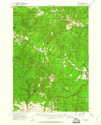
1951 Map of Bates
USGS Topo · Published 1960About this map
Mining operations and high mountain summits dominate this mid-century survey of the Blue Mountains, where the boundaries of the Umatilla National Forest and Whitman National Forest meet. The settlement of Bates serves as a local hub near the eastern edge of the map, situated along a drainage network that feeds into the South Fork John Day River. The landscape is heavily marked by a history of extraction, featuring named prospects such as the Standard Mine, Keystone Mine, and the Tiger Mine near Vinegar Hill.
Find a feature on this map
74 named features on this map. Tap any name to fly to it.
Don’t see what you’re looking for? This feature index may not catch every label — zoom into the map to look around manually.
Map Details
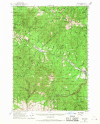
Editions of this 1951 Bates Map
3 editions found
Other maps of this area

1901 · Sumpter
USGS Topo · 1:125,000

1908 · Ironside Mountain
USGS Topo · 1:125,000

1940 · John Day
USGS Topo · 1:62,500

1943 · John Day
USGS Topo · 1:62,500

1949 · Susanville
USGS Topo · 1:62,500

1951 · Susanville
USGS Topo · 1:62,500

1951 · Dale
USGS Topo · 1:62,500

1951 · Bates
USGS Topo · 1:62,500

1951 · Desolation Butte
USGS Topo · 1:62,500

1955 · Canyon City
USGS Topo · 1:250,000