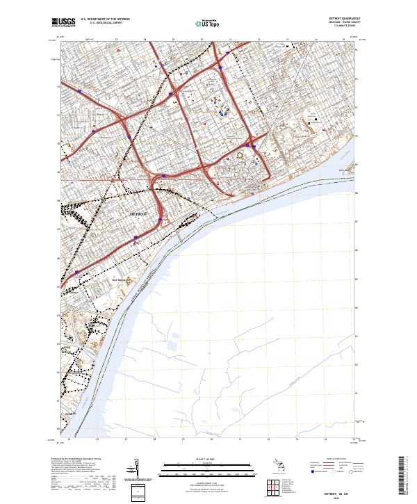
2023 Map of Detroit
USGS Topo · Published 2023About this map
Detroit occupies the heart of this urban landscape along the Detroit River, where international corridors like the Ambassador Brg connect the United States to Canada. This modern record of the city's infrastructure highlights the densely packed residential and industrial grids surrounding the downtown core, anchored by the Coleman Young Municipal Center. Significant educational and cultural institutions, including Wayne State University and the College for Creative Studies, are central to the Midtown area. Further south, the map documents the heavy industrial landscape of Zug Island and the Short Cut Canal 21 at the mouth of the River Rouge. Historic burial grounds such as Elmwood Cem and Mount Elliott Cem preserve green spaces amidst the arterial roadways of E Grand Blvd and Michigan Ave.
Find a feature on this map
30 named features on this map. Tap any name to fly to it.
Don’t see what you’re looking for? This feature index may not catch every label — zoom into the map to look around manually.
Map Details
Editions of this 2023 Detroit Map
This is the sole edition of this map. No revisions or reprints were ever made.
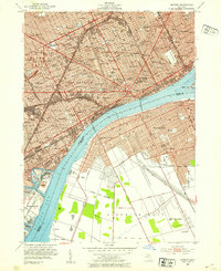
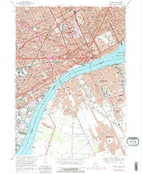
Historical Maps of Forest Park Through Time
16 maps found

1905 Detroit
Wayne County, MI

1918 Detroit
Wayne County, MI

1924 Detroit
Wayne County, MI

1934 Detroit
Wayne County, MI

1937 Detroit
Wayne County, MI

1940 Detroit
Wayne County, MI

1947 Detroit
Wayne County, MI
1952 Detroit
Wayne County, MI

1954 Detroit
Wayne County, MI

1954 Detroit
Wayne County, MI

1961 Detroit
Wayne County, MI

1965 Detroit
Wayne County, MI
1968 Detroit
Wayne County, MI

1985 Detroit
Wayne County, MI

1989 Detroit
Wayne County, MI
2023 Detroit
Wayne County, MI