
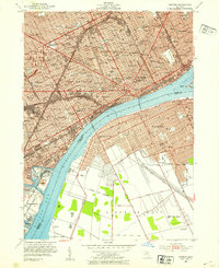
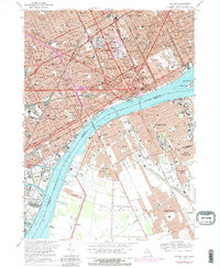
1965 Map of Detroit
USGS Topo · Published 1965About this map
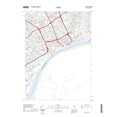
The Detroit River and St Clair River serve as the central arterial corridor for this mid-century look at the industrial heart of Michigan and Ontario. The expanding urban footprints of Detroit, Port Huron, and Sarnia are connected by a dense lattice of transportation infrastructure, including the Grand Trunk Western RR and several major international crossings. The map captures the region at a peak of aviation and military significance, featuring the sprawling Detroit Metropolitan Wayne County Airport and Selfridge Air Force Base near Anchor Bay.
Find a feature on this map
254 named features on this map. Tap any name to fly to it.
Don’t see what you’re looking for? This feature index may not catch every label — zoom into the map to look around manually.
Map Details
Editions of this 1965 Detroit Map
This is the sole edition of this map. No revisions or reprints were ever made.
Historical Maps of Detroit Through Time
20 maps found

1905 Detroit
Wayne County, MI

1918 Detroit
Wayne County, MI

1924 Detroit
Wayne County, MI

1934 Detroit
Wayne County, MI

1937 Detroit
Wayne County, MI

1940 Detroit
Wayne County, MI

1947 Detroit
Wayne County, MI
1952 Detroit
Wayne County, MI

1954 Detroit
Wayne County, MI

1954 Detroit
Wayne County, MI

1961 Detroit
Wayne County, MI
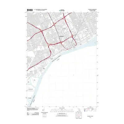
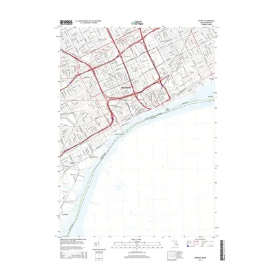
1965 Detroit
Wayne County, MI
1968 Detroit
Wayne County, MI

1985 Detroit
Wayne County, MI

1989 Detroit
Wayne County, MI
2011 Detroit
Wayne County, MI
2014 Detroit
Wayne County, MI

2017 Detroit
Wayne County, MI

2019 Detroit
Wayne County, MI
2023 Detroit
Wayne County, MI