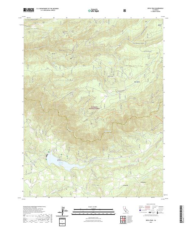
2021 Map of Devil Peak
USGS Topo · Published 2021About this map
The Rubicon River carves a deep path through this section of the Sierra Nevada, marking the rugged boundary between Placer Co and El Dorado Co. Historically significant sites like the Pioneer Grave and Blacksmith Flat speak to the region's early importance in mining and mountain transit. The landscape is defined by its dramatic ridges, including Ralston Ridge and Nevada Point Ridge, which flank the deep canyons of the Wallace Canyon system. Modern management by the Eldorado National Forest is evident through the network of forest roads and trails such as Wentworth Springs Rd and Eleven Pines Rd. To the south, Stumpy Meadows Reservoir serves as a prominent water feature near the small clusters of Leonardi and Campana, while Zuver and McCulloh sit perched on the high ridges to the north.
Find a feature on this map
53 named features on this map. Tap any name to fly to it.
Don’t see what you’re looking for? This feature index may not catch every label — zoom into the map to look around manually.
Map Details
Editions of this 2021 Devil Peak Map
This is the sole edition of this map. No revisions or reprints were ever made.
Other maps of this area

1889 · Pyramid Peak
USGS Topo · 1:125,000

1891 · Colfax
USGS Topo · 1:125,000

1891 · Truckee
USGS Topo · 1:125,000

1891 · Placerville
USGS Topo · 1:125,000

1891 · Pyramid Peak
USGS Topo · 1:125,000

1892 · Placerville
USGS Topo · 1:125,000

1892 · Colfax
USGS Topo · 1:125,000

1893 · Placerville
USGS Topo · 1:125,000

1893 · Truckee
USGS Topo · 1:125,000

1894 · Colfax
USGS Topo · 1:125,000