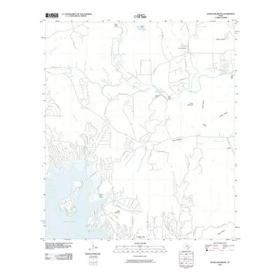
2010 Map of Devils Backbone
USGS Topo · Published 2010About this map
The Blanco River and Guadalupe River frame this section of the Texas Hill Country, where the distinctive limestone ridge of the Devils Backbone cuts through the landscape. In the southwest, the impounded waters of Canyon Lake reach into the terrain, supporting the settlement of Canyon City and the nearby Canyon Lake Airport. The map shows a transition from the structured residential clusters near the water to the more expansive ranch lands and hollows to the north and east.
Find a feature on this map
65 named features on this map. Tap any name to fly to it.
Don’t see what you’re looking for? This feature index may not catch every label — zoom into the map to look around manually.
Map Details
Editions of this 2010 Devils Backbone Map
This is the sole edition of this map. No revisions or reprints were ever made.
Other maps of this area

1887 · Blanco
USGS Topo · 1:125,000

1894 · Blanco
USGS Topo · 1:125,000

1920 · Smithsons Valley
USGS Topo · 1:62,500

1925 · Hunter No 3
USGS Topo · 1:48,000

1925 · Smithson Valley No. 1
USGS Topo · 1:48,000

1927 · Smithson Valley
USGS Topo · 1:62,500

1929 · Hunter
USGS Topo · 1:62,500

1929 · Smithson Valley
USGS Topo · 1:62,500

1940 · Smithson Valley
USGS Topo · 1:62,500

1954 · Llano
USGS Topo · 1:250,000