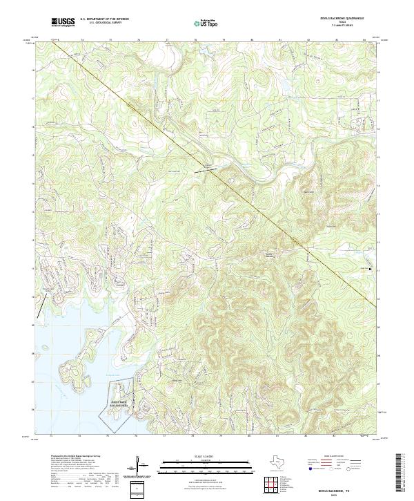
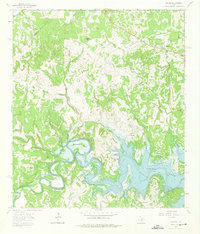
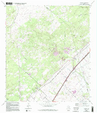
2022 Map of Devils Backbone
USGS Topo · Published 2022This historical map portrays the area of Devils Backbone in 2022, primarily covering Comal County as well as portions of Hays County. Featuring a scale of 1:24000, this map provides a highly detailed snapshot of the terrain, roads, buildings, counties, and historical landmarks in the Devils Backbone region at the time. Published in 2022, it is the sole known edition of this map.
Map Details
Editions of this 2022 Devils Backbone Map
This is the sole edition of this map. No revisions or reprints were ever made.
Historical Maps of Wimberley Through Time
30 maps found

1920 Smithsons Valley
Comal County, TX

1925 Hunter No 3
Comal County, TX

1925 Smithson Valley No. 1
Comal County, TX

1927 Smithson Valley
Comal County, TX
1929 Hunter
Comal County, TX

1929 Smithson Valley
Comal County, TX

1940 Smithson Valley
Comal County, TX

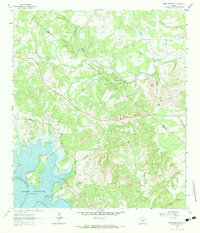
1953 Bat Cave
Comal County, TX
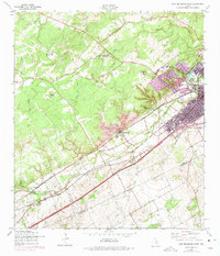
1958 New Braunfels West
Comal County, TX
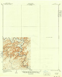
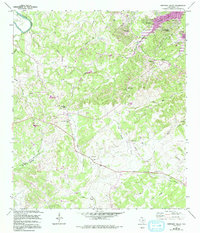
1963 Devils Backbone
Comal County, TX
1963 Fischer
Comal County, TX
1963 Sattler
Comal County, TX
1964 Anhalt
Comal County, TX
1964 Bergheim
Comal County, TX
1964 Hunter
Comal County, TX
1964 Smithson Valley
Comal County, TX
1967 Bat Cave
Comal County, TX

1988 Bat Cave
Comal County, TX

1988 New Braunfels West
Comal County, TX

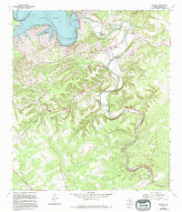
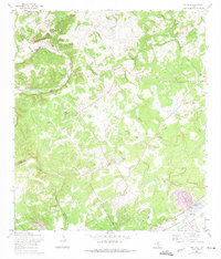
1989 Devils Backbone
Comal County, TX
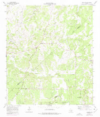
1989 Fischer
Comal County, TX
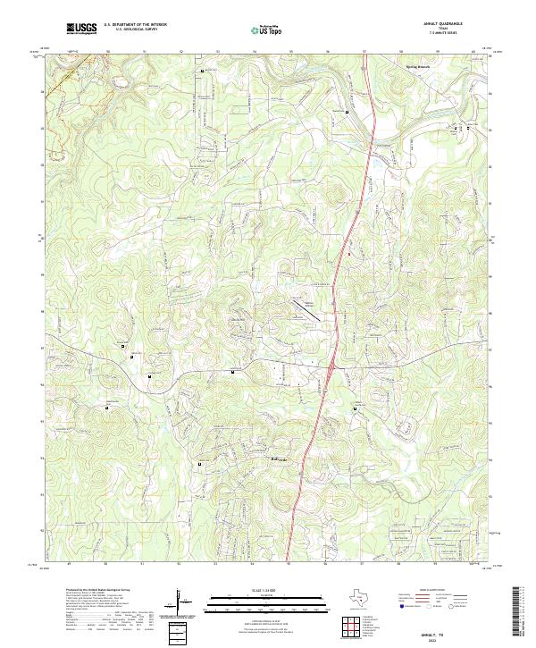
2022 Anhalt
Comal County, TX
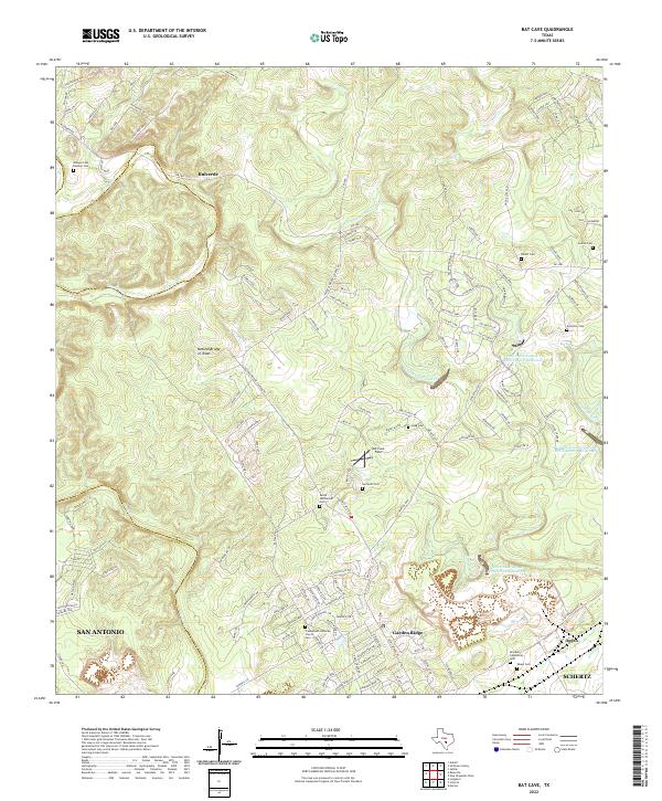
2022 Bat Cave
Comal County, TX

2022 Bergheim
Comal County, TX
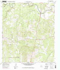
2022 Devils Backbone
Comal County, TX
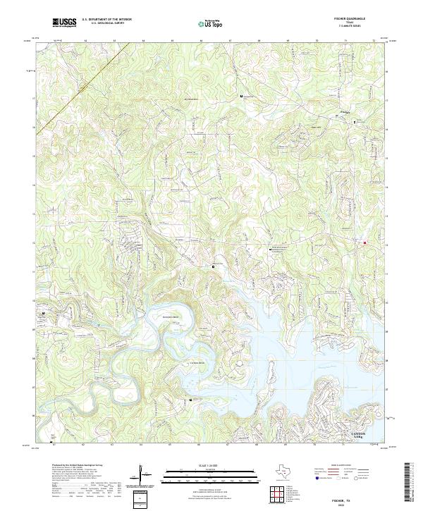
2022 Fischer
Comal County, TX
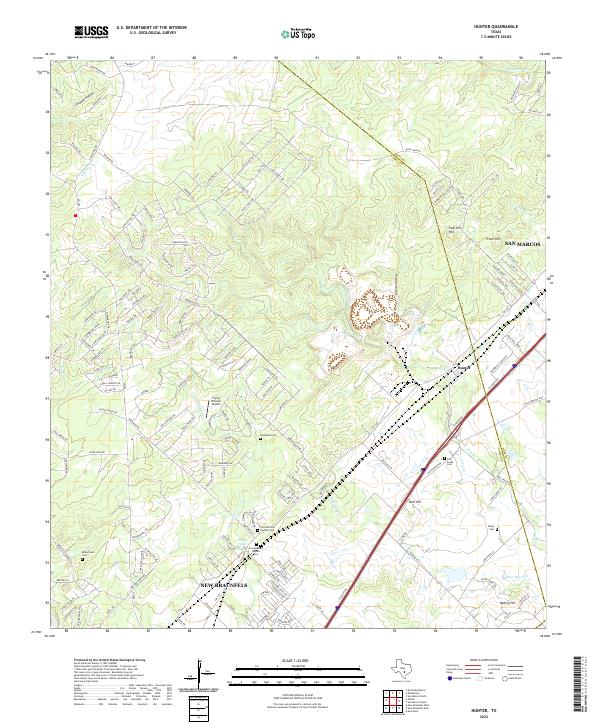
2022 Hunter
Comal County, TX
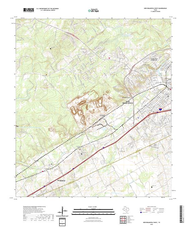
2022 New Braunfels West
Comal County, TX
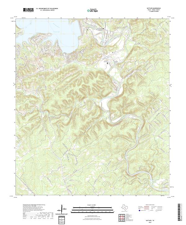
2022 Sattler
Comal County, TX
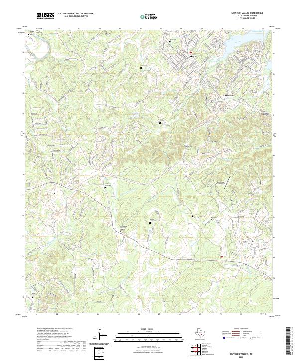
2022 Smithson Valley
Comal County, TX