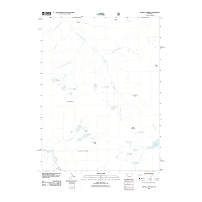
2011 Map of Devils Causeway
USGS Topo · Published 2011About this map
The Devils Causeway and the Chinese Wall define the high-altitude landscape of this Garfield County quadrangle. This 2011 survey illustrates a region dominated by alpine terrain and an extensive network of lakes and reservoirs. The headwaters of the East Fork Williams Fork and the North Fork White River originate here, supported by water management structures like the McGinnis Meadows Reservoir Dam and the Stillwater Reservoir. Human presence is marked primarily by the Trappers Lake Rd in the southwest corner and various high-country passes such as Mandall Pass. The map serves as a detailed guide to the distinct basins of the area, including SkinnyFish Basin, and numerous named water bodies like Skinny Fish Lake, Margaret Lake, and West Lost Lake.
Find a feature on this map
37 named features on this map. Tap any name to fly to it.
Don’t see what you’re looking for? This feature index may not catch every label — zoom into the map to look around manually.
Map Details
Editions of this 2011 Devils Causeway Map
This is the sole edition of this map. No revisions or reprints were ever made.
Other maps of this area

1927 · Glenwood Springs
USGS Topo · 1:125,000

1930 · Glenwood Springs
USGS Topo · 1:125,000

1954 · Craig
USGS Topo · 1:250,000

1957 · Craig
USGS Topo · 1:250,000

1957 · Leadville
USGS Topo · 1:250,000

1958 · Craig
USGS Topo · 1:250,000

1959 · Leadville
USGS Topo · 1:250,000

1960 · Leadville
USGS Topo · 1:250,000

1960 · Craig
USGS Topo · 1:250,000

1962 · Leadville
USGS Topo · 1:250,000