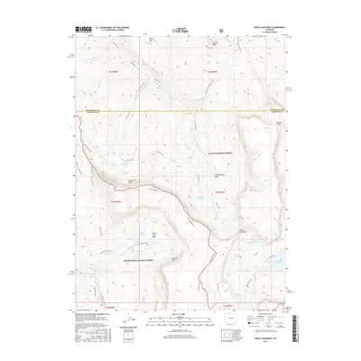
2016 Map of Devils Causeway
USGS Topo · Published 2016About this map
The Devils Causeway serves as a narrow, high-elevation land bridge, a defining topographical feature on this Garfield County map. Straddling the boundary between the Routt National Forest and the White River National Forest, the landscape is dominated by high-altitude plateaus and peaks like Pyramid Peak and Baldy Mtn. The hydrological pattern is defined by dozens of alpine lakes and basins, including Skinny Fish Lake, McGinnis Lake, and Deep Lake, many of which are connected by an extensive network of footpaths like the Lost Lakes Trail and the Skinny Fish Lake Trail. To the southeast, the Stillwater Reservoir collects the headwaters of the E Fork, illustrating the region's role as a critical watershed. The Chinese Wall creates a massive natural escarpment that dictates the course of the Chinese Wall Trail, marking a dramatic shift in elevation across the central portion of the survey area.
Find a feature on this map
58 named features on this map. Tap any name to fly to it.
Don’t see what you’re looking for? This feature index may not catch every label — zoom into the map to look around manually.
Map Details
Editions of this 2016 Devils Causeway Map
This is the sole edition of this map. No revisions or reprints were ever made.
Other maps of this area

1927 · Glenwood Springs
USGS Topo · 1:125,000

1930 · Glenwood Springs
USGS Topo · 1:125,000

1954 · Craig
USGS Topo · 1:250,000

1957 · Craig
USGS Topo · 1:250,000

1957 · Leadville
USGS Topo · 1:250,000

1958 · Craig
USGS Topo · 1:250,000

1959 · Leadville
USGS Topo · 1:250,000

1960 · Leadville
USGS Topo · 1:250,000

1960 · Craig
USGS Topo · 1:250,000

1962 · Leadville
USGS Topo · 1:250,000