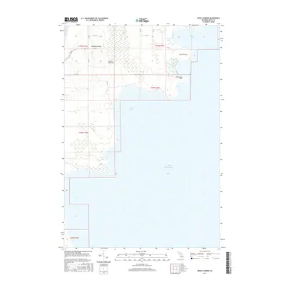
2017 Map of Devils Corner
USGS Topo · Published 2017About this map
Garden Peninsula defines this coastal landscape where the waters of Lake Michigan meet the intricate shoreline of Delta County. The small settlement of Devils Corner sits inland from a series of distinctive aquatic features, including the sheltered Portage Bay and Kregg Bay. This recent survey captures the environmental character of the peninsula, characterized by numerous small bodies of water such as Fishery Lake, Charboneau Lake, and Sucker Lake. The terrain is marked by the prominent Charboneau Point, while the Ninga Aki Pathway suggests the continued recreational and ecological importance of the area. The map illustrates a sparse network of local roads like LL RD and 14 RD that serve the rural properties and forested tracts of the region.
Find a feature on this map
25 named features on this map. Tap any name to fly to it.
Don’t see what you’re looking for? This feature index may not catch every label — zoom into the map to look around manually.
Map Details
Editions of this 2017 Devils Corner Map
This is the sole edition of this map. No revisions or reprints were ever made.
Other maps of this area

1932 · Burnt Bluff SW
USGS Topo · 1:31,680

1932 · Burnt Bluff NE
USGS Topo · 1:31,680

1932 · Burnt Bluff NW
USGS Topo · 1:31,680

1932 · Garden SE
USGS Topo · 1:31,680

1954 · Escanaba
USGS Topo · 1:250,000

1957 · Escanaba
USGS Topo · 1:250,000

1958 · Escanaba
USGS Topo · 1:250,000

1958 · Cooks
USGS Topo · 1:62,500

1958 · Garden
USGS Topo · 1:62,500

1958 · Fairport
USGS Topo · 1:62,500