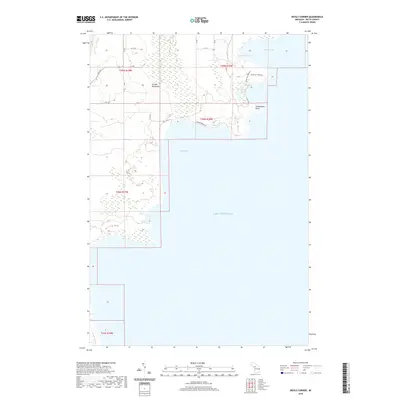
2019 Map of Devils Corner
USGS Topo · Published 2019About this map
Garden Peninsula extends into the northern waters of Lake Michigan, showing a landscape defined by its coastal indentation and interior wetlands. This 2019 survey captures the geographic profile of Delta County's shoreline, where Portage Bay and Kregg Bay carve into the land. The presence of the Ninga Aki Pathway indicates a managed natural corridor winding past several small inland water bodies, including Fishery Lake, Charboneau Lake, and Bog Lake. These features, along with the distinct projection of Charboneau Point, illustrate a region where the terrestrial and aquatic environments are closely integrated. The map's layout, dominated by open water and coastal marshes, highlights the area's role as a transition between the Upper Peninsula mainland and the Great Lakes.
Find a feature on this map
21 named features on this map. Tap any name to fly to it.
Don’t see what you’re looking for? This feature index may not catch every label — zoom into the map to look around manually.
Map Details
Editions of this 2019 Devils Corner Map
This is the sole edition of this map. No revisions or reprints were ever made.
Other maps of this area

1932 · Burnt Bluff SW
USGS Topo · 1:31,680

1932 · Burnt Bluff NE
USGS Topo · 1:31,680

1932 · Burnt Bluff NW
USGS Topo · 1:31,680

1932 · Garden SE
USGS Topo · 1:31,680

1954 · Escanaba
USGS Topo · 1:250,000

1957 · Escanaba
USGS Topo · 1:250,000

1958 · Escanaba
USGS Topo · 1:250,000

1958 · Cooks
USGS Topo · 1:62,500

1958 · Garden
USGS Topo · 1:62,500

1958 · Fairport
USGS Topo · 1:62,500