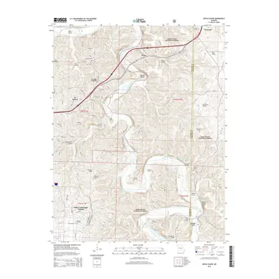
2015 Map of Devils Elbow
USGS Topo · Published 2015About this map
St. Robert and the unincorporated community of Devils Elbow serve as the primary focal points of this Pulaski County landscape, situated where the Big Piney River carves its way through the eastern reaches of the Ozarks. The river's dramatic meanders create distinctive landforms like Lost Hill and provide the setting for natural landmarks such as Shanghai Spring and Ousley Spring. To the southwest, the northern edge of Fort Leonard Wood appears, bordered by the varied terrain of Deckers Ridge.
Find a feature on this map
90 named features on this map. Tap any name to fly to it.
Don’t see what you’re looking for? This feature index may not catch every label — zoom into the map to look around manually.
Map Details
Editions of this 2015 Devils Elbow Map
This is the sole edition of this map. No revisions or reprints were ever made.
Other maps of this area

1912 · Rolla
USGS Topo · 1:62,500

1936 · Waynesville
USGS Topo · 1:48,000

1937 · Edgar Springs
USGS Topo · 1:48,000

1941 · Big Piney
USGS Topo · 1:62,500

1942 · Waynesville
USGS Topo · 1:62,500

1943 · Big Piney
USGS Topo · 1:62,500

1944 · Waynesville
USGS Topo · 1:62,500

1945 · Edgar Springs
USGS Topo · 1:62,500

1949 · Rolla
USGS Topo · 1:250,000

1950 · Newburg
USGS Topo · 1:24,000