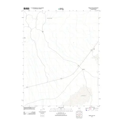
2012 Map of Devils Gate
USGS Topo · Published 2012About this map
Gilbert Junction serves as a key transit point in this arid stretch of Esmeralda County, where the road network intersects against a backdrop of desert basins and high peaks. The terrain is dominated by the northern reaches of the Big Smoky Valley and the jagged profile of the Monte Cristo Range. These physical barriers are punctuated by distinct geological landmarks such as Castle Peak and the namesake Devils Gate pass. Small, localized settlements like McLeans anchor the sparse human geography of the area, providing a sense of scale to the expansive playa and alluvial fans. The presence of Black Rock further illustrates the volcanic and rocky character of this Great Basin landscape, where infrastructure is dictated by the natural corridors through the mountains.
Find a feature on this map
7 named features on this map. Tap any name to fly to it.
Don’t see what you’re looking for? This feature index may not catch every label — zoom into the map to look around manually.
Map Details
Editions of this 2012 Devils Gate Map
This is the sole edition of this map. No revisions or reprints were ever made.
Other maps of this area

1898 · Silver Peak
USGS Topo · 1:125,000

1900 · Silver Peak
USGS Topo · 1:125,000

1907 · Tonopah
USGS Topo · 1:250,000

1908 · Lida
USGS Topo · 1:250,000

1908 · Tonopah
USGS Topo · 1:250,000

1913 · Lida
USGS Topo · 1:250,000

1954 · Goldfield
USGS Topo · 1:250,000

1955 · Goldfield
USGS Topo · 1:250,000

1956 · Tonopah
USGS Topo · 1:250,000

1958 · Goldfield
USGS Topo · 1:250,000