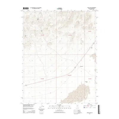
2014 Map of Devils Gate
USGS Topo · Published 2014About this map
The Monte Cristo Range dominates the northern landscape of this Nevada survey, giving way to the southern expanse of the Big Smoky Valley. This area is defined by the passage of U.S. Route 6 and 95, which curves through the valley floor, connecting the modest settlement of McLeans with the surrounding high desert. The topography is marked by significant elevation changes, ranging from the prominent Castle Peak and the namesake Devils Gate gap to the dark landmark of Black Rock. These features highlight the importance of natural corridors and landmarks in an arid environment where early transcontinental routes and modern highways followed the paths of least resistance through the mountains.
Find a feature on this map
13 named features on this map. Tap any name to fly to it.
Don’t see what you’re looking for? This feature index may not catch every label — zoom into the map to look around manually.
Map Details
Editions of this 2014 Devils Gate Map
This is the sole edition of this map. No revisions or reprints were ever made.
Other maps of this area

1898 · Silver Peak
USGS Topo · 1:125,000

1900 · Silver Peak
USGS Topo · 1:125,000

1907 · Tonopah
USGS Topo · 1:250,000

1908 · Lida
USGS Topo · 1:250,000

1908 · Tonopah
USGS Topo · 1:250,000

1913 · Lida
USGS Topo · 1:250,000

1954 · Goldfield
USGS Topo · 1:250,000

1955 · Goldfield
USGS Topo · 1:250,000

1956 · Tonopah
USGS Topo · 1:250,000

1958 · Goldfield
USGS Topo · 1:250,000