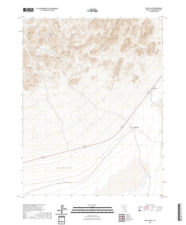
2021 Map of Devils Gate
USGS Topo · Published 2021About this map
Monte Cristo Range topography dominates the upper half of this Esmeralda County landscape, where the namesake Devils Gate pass forms a natural corridor through the high terrain. To the west, Castle Peak stands as a prominent landmark overlooking the transition into the broader valley floor. The map highlights the intersection of physical barriers and modern transportation, as the joint corridor of Route 6 and 95 skirts the base of these peaks.
Find a feature on this map
13 named features on this map. Tap any name to fly to it.
Don’t see what you’re looking for? This feature index may not catch every label — zoom into the map to look around manually.
Map Details
Editions of this 2021 Devils Gate Map
This is the sole edition of this map. No revisions or reprints were ever made.
Other maps of this area

1898 · Silver Peak
USGS Topo · 1:125,000

1900 · Silver Peak
USGS Topo · 1:125,000

1907 · Tonopah
USGS Topo · 1:250,000

1908 · Lida
USGS Topo · 1:250,000

1908 · Tonopah
USGS Topo · 1:250,000

1913 · Lida
USGS Topo · 1:250,000

1954 · Goldfield
USGS Topo · 1:250,000

1955 · Goldfield
USGS Topo · 1:250,000

1956 · Tonopah
USGS Topo · 1:250,000

1958 · Goldfield
USGS Topo · 1:250,000