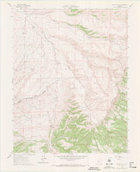
1960 Map of Devils Gulch
USGS Topo · Published 1972About this map
The high-elevation grazing and ranching landscape of the Wet Mountain Valley is meticulously detailed in this 1960 survey. Water management is the defining feature of the terrain, evidenced by a network of family-named water sources including the Hess Windmill, Oaks Windmill, and Rush Windmill. These improvements supported livestock operations across a complex topography of drainages like Devils Gulch and Moss Gulch.
Find a feature on this map
41 named features on this map. Tap any name to fly to it.
Don’t see what you’re looking for? This feature index may not catch every label — zoom into the map to look around manually.
Map Details
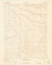
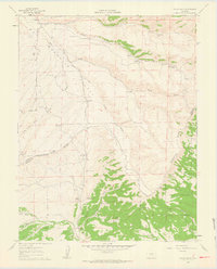
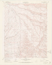
Editions of this 1960 Devils Gulch Map
4 editions found
Other maps of this area

1889 · Canon City
USGS Topo · 1:125,000

1889 · Huerfano Park
USGS Topo · 1:125,000

1892 · Huerfano Park
USGS Topo · 1:125,000

1892 · Canon City
USGS Topo · 1:125,000

1954 · Rosita
USGS Topo · 1:24,000

1954 · Trinidad
USGS Topo · 1:250,000

1954 · Pueblo
USGS Topo · 1:250,000

1955 · Trinidad
USGS Topo · 1:250,000

1957 · Pueblo
USGS Topo · 1:250,000

1957 · Aldrich Gulch
USGS Topo · 1:24,000