
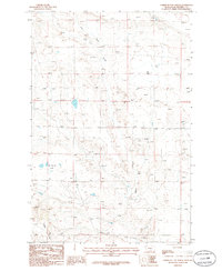
1986 Map of Devils Hole Lake
USGS Topo · Published 1986About this map
The eastern slopes of the Little Snowy Mountains define this section of Musselshell County, where the high prairie begins its descent into a complex network of intermittent drainages. In the late 1970s and mid-1980s, this landscape was characterized by its conservation value and sparse settlement, anchored by the Lake Mason National Wildlife Refuge in the northeast. The geography is dictated by water and topography, from the namesake Devils Hole Lake in the southwest to the winding paths of Whoop-up Creek and Willow Creek. Evidence of early cattle ranching or homesteading history is found in the isolated Cem and various wells scattered along Minerva Creek and Pole Creek, reflecting a reliance on groundwater and seasonal flows in this semi-arid environment.
Find a feature on this map
11 named features on this map. Tap any name to fly to it.
Don’t see what you’re looking for? This feature index may not catch every label — zoom into the map to look around manually.
Map Details
Editions of this 1986 Devils Hole Lake Map
This is the sole edition of this map. No revisions or reprints were ever made.
Other maps of this area

1889 · Big Snowy Mountain
USGS Topo · 1:250,000

1893 · Big Snowy Mountain
USGS Topo · 1:250,000

1954 · Roundup
USGS Topo · 1:250,000

1958 · Roundup
USGS Topo · 1:250,000

1970 · South Bench
USGS Topo · 1:24,000

1986 · Tyler
USGS Topo · 1:24,000

1986 · Pender Coulee
USGS Topo · 1:24,000

1986 · Emory School
USGS Topo · 1:24,000
1986 · Timber Buttes North
USGS Topo · 1:24,000
1986 · Sahara Hill
USGS Topo · 1:24,000