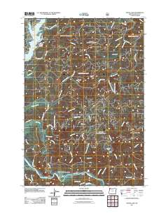
2011 Map of Devils Lake
USGS Topo · Published 2011About this map
Devils Lake and the coastal corridor of Lincoln City anchor the northwestern portion of this coastal survey, where urban development meets the complex drainage systems of the Oregon Coast Range. The landscape is defined by the sharp transition from the lakefront community of Neotsu to the deeply incised valleys of Schooner Creek and Drift Creek. To the south, the Siletz River winds through the terrain, creating significant landforms such as Chinook Bend and Medicine Rock.
Find a feature on this map
57 named features on this map. Tap any name to fly to it.
Don’t see what you’re looking for? This feature index may not catch every label — zoom into the map to look around manually.
Map Details
Editions of this 2011 Devils Lake Map
This is the sole edition of this map. No revisions or reprints were ever made.
Other maps of this area

1941 · Nestucca Bay
USGS Topo · 1:62,500

1941 · Cape Foulweather
USGS Topo · 1:62,500

1942 · Euchre Mtn
USGS Topo · 1:62,500

1942 · Nestucca Bay
USGS Topo · 1:62,500

1943 · Euchre Mtn
USGS Topo · 1:62,500

1944 · Cape Foulweather
USGS Topo · 1:62,500

1948 · Vancouver
USGS Topo · 1:250,000

1950 · Vancouver
USGS Topo · 1:250,000

1950 · Vancouver
USGS Topo · 1:250,000

1953 · Salem
USGS Topo · 1:250,000