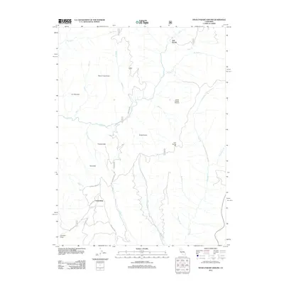
2012 Map of Devils Parade Ground
USGS Topo · Published 2012About this map
Campbellville and Polk Springs anchor this portion of the northern California landscape, which is defined by a complex network of steep ridges and deep canyons. The central terrain is dominated by evocatively named geological formations such as Devils Parade Ground, Devils Kitchen, and Devils Den, illustrating the jagged nature of the volcanic or tectonic topography here. Extensive drainage systems including Deer Cr, Beaver Cr, and Big Chico Cr carve through the region, supporting the Beaver Creek Pinery and other forested uplands.
Find a feature on this map
35 named features on this map. Tap any name to fly to it.
Don’t see what you’re looking for? This feature index may not catch every label — zoom into the map to look around manually.
Map Details
Editions of this 2012 Devils Parade Ground Map
This is the sole edition of this map. No revisions or reprints were ever made.
Other maps of this area

1886 · Lassen Peak
USGS Topo · 1:250,000

1891 · Chico
USGS Topo · 1:125,000

1892 · Lassen Peak
USGS Topo · 1:250,000

1893 · Chico
USGS Topo · 1:125,000

1894 · Lassen Peak
USGS Topo · 1:250,000

1895 · Chico
USGS Topo · 1:125,000

1935 · Paynes Creek
USGS Topo · 1:96,000

1941 · Mineral
USGS Topo · 1:125,000

1944 · Richardson Springs
USGS Topo · 1:62,500
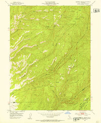
1952 · Campbell Mound
USGS Topo · 1:24,000