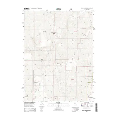
2015 Map of Devils Parade Ground
USGS Topo · Published 2015About this map
Campbellville and the high-elevation flats of Devils Parade Ground define this section of the northern Sierra foothills, where the Tehama and Butte County line crosses complex drainages. Within the Lassen National Forest, the landscape is marked by a network of ridges and canyons, including Campbell Ridge and Cohasset Ridge, which helped dictate early travel routes like Ponderosa Way and the Campbellville Cutoff. Notable landmarks such as Iron Mtn, Pinnacle Peak, and the topographic depression of Devils Den show the geologic diversity of the region. Water sources like Bennett Spring and Cold Spring provided vital stops in a terrain carved by Deer Creek and Big Chico Creek. The inclusion of the Beaver Creek Pinery and remote outposts like Polk Springs offers insight into the early forestry and seasonal settlement patterns of the area.
Find a feature on this map
40 named features on this map. Tap any name to fly to it.
Don’t see what you’re looking for? This feature index may not catch every label — zoom into the map to look around manually.
Map Details
Editions of this 2015 Devils Parade Ground Map
This is the sole edition of this map. No revisions or reprints were ever made.
Other maps of this area

1886 · Lassen Peak
USGS Topo · 1:250,000

1891 · Chico
USGS Topo · 1:125,000

1892 · Lassen Peak
USGS Topo · 1:250,000

1893 · Chico
USGS Topo · 1:125,000

1894 · Lassen Peak
USGS Topo · 1:250,000

1895 · Chico
USGS Topo · 1:125,000

1935 · Paynes Creek
USGS Topo · 1:96,000

1941 · Mineral
USGS Topo · 1:125,000

1944 · Richardson Springs
USGS Topo · 1:62,500
1952 · Campbell Mound
USGS Topo · 1:24,000