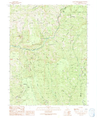
1991 Map of Devils Parade Ground
USGS Topo · Published 1991About this map
Campbellville and the high ridges of the southern Cascades define this landscape during the late 20th century. The area is a complex network of deep ravines and volcanic plateaus, notably the Devils Parade Ground and Cohasset Ridge. Historically significant timber and grazing sites like Pinery and Graham Pinery sit alongside protected lands, including the State Game Refuge 1-G and the Ishi Wilderness.
Find a feature on this map
39 named features on this map. Tap any name to fly to it.
Don’t see what you’re looking for? This feature index may not catch every label — zoom into the map to look around manually.
Map Details
Editions of this 1991 Devils Parade Ground Map
This is the sole edition of this map. No revisions or reprints were ever made.
Other maps of this area

1886 · Lassen Peak
USGS Topo · 1:250,000

1891 · Chico
USGS Topo · 1:125,000

1892 · Lassen Peak
USGS Topo · 1:250,000

1893 · Chico
USGS Topo · 1:125,000

1894 · Lassen Peak
USGS Topo · 1:250,000

1895 · Chico
USGS Topo · 1:125,000

1935 · Paynes Creek
USGS Topo · 1:96,000

1941 · Mineral
USGS Topo · 1:125,000

1944 · Richardson Springs
USGS Topo · 1:62,500
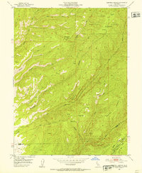
1952 · Campbell Mound
USGS Topo · 1:24,000