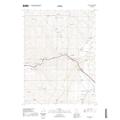
2020 Map of Devils Slide
USGS Topo · Published 2020About this map
The Weber River cuts a deep path through the Bear River Range in this modern topographical survey, tracing the corridor of northern Utah's essential transit routes. Along the southern edge of the map, the Rte Of Donner Reed Party follows Main Canyon Cr into Henefer, a reminder of the arduous pioneer paths that preceded the modern interstate and rail lines. The landscape is defined by dozens of named canyons and hollows, including Chokecherry Hollow, Wolf Den Canyon, and Pipe Hollow, illustrating the complex drainage systems feeding into the valley floors.
Find a feature on this map
74 named features on this map. Tap any name to fly to it.
Don’t see what you’re looking for? This feature index may not catch every label — zoom into the map to look around manually.
Map Details
Editions of this 2020 Devils Slide Map
This is the sole edition of this map. No revisions or reprints were ever made.
Other maps of this area

1885 · Salt Lake
USGS Topo · 1:250,000

1900 · Coalville
USGS Topo · 1:125,000

1903 · Coalville
USGS Topo · 1:125,000

1925 · Ft. Douglas
USGS Topo · 1:125,000

1928 · Ft. Douglas
USGS Topo · 1:125,000

1954 · Salt Lake City
USGS Topo · 1:250,000

1954 · Ogden
USGS Topo · 1:250,000

1958 · Ogden
USGS Topo · 1:250,000

1958 · Salt Lake City
USGS Topo · 1:250,000

1960 · Ogden
USGS Topo · 1:250,000