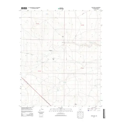
2013 Map of Devils Well
USGS Topo · Published 2013About this map
Arroyo Mora and the dry basins of the High Plains define this section of De Baca County, where the landscape is marked by essential water catchment features. Named points like Devils Well, Buffalo Tank, and Baker Tank illustrate the ranching infrastructure necessary for survival in this arid terrain. The map details a network of canyons and drainage systems, including Rock Canyon, Burro Draw, and the curiously named Dead Mexican Draw, which cut through the open rangeland.
Find a feature on this map
25 named features on this map. Tap any name to fly to it.
Don’t see what you’re looking for? This feature index may not catch every label — zoom into the map to look around manually.
Map Details
Editions of this 2013 Devils Well Map
This is the sole edition of this map. No revisions or reprints were ever made.
Other maps of this area

1954 · Fort Sumner
USGS Topo · 1:250,000

1955 · Roswell
USGS Topo · 1:250,000

1958 · Fort Sumner
USGS Topo · 1:250,000

1958 · Roswell
USGS Topo · 1:250,000

1962 · Roswell
USGS Topo · 1:250,000

1967 · Wire Lake
USGS Topo · 1:24,000

1967 · Round Mountain
USGS Topo · 1:24,000

1967 · Dunlap NE
USGS Topo · 1:24,000

1967 · Dunlap Sill
USGS Topo · 1:24,000

1967 · Devils Well
USGS Topo · 1:24,000