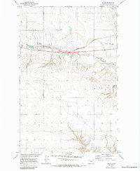
1970 Map of Devon
USGS Topo · Published 1984About this map
The northern plains of Toole County are defined by the winding course of Willow Creek and its tributary, the West Fork Willow Creek. This 1970 field-checked survey highlights the settlement at Devon, a key stop along the Burlington Northern line. The landscape is deeply incised by numerous coulees, such as Coyote Coulee and Dodge Coulee, which create a complex network of drainage throughout the quadrangle.
Find a feature on this map
12 named features on this map. Tap any name to fly to it.
Don’t see what you’re looking for? This feature index may not catch every label — zoom into the map to look around manually.
Map Details
Editions of this 1970 Devon Map
2 editions found
Other maps of this area

1920 · Conrad
USGS Topo · 1:125,000

1943 · Antelope Coulee
USGS Topo · 1:62,500

1954 · Shelby
USGS Topo · 1:250,000

1958 · Shelby
USGS Topo · 1:250,000

1962 · Mc Carters Lake
USGS Topo · 1:24,000

1962 · Mc Carters Lake SE
USGS Topo · 1:24,000

1967 · Central School
USGS Topo · 1:24,000

1967 · South Devon School
USGS Topo · 1:24,000

1970 · Pondera School
USGS Topo · 1:24,000

1970 · Devon
USGS Topo · 1:24,000