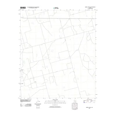
2010 Map of Dewey Lake SE
USGS Topo · Published 2010About this map
Lacy Creek meanders through this portion of Glasscock County, defining the drainage patterns of an otherwise arid ranching landscape. The area is characterized by a sparse network of county roads, including Co RD 110 and Co RD 130, which connect isolated water sources essential for livestock. Notable landmarks such as Schoolhouse Windmill, Morgan Windmill, and East Windmill speak to the deep reliance on groundwater in this part of West Texas. The grid-like arrangement of roads and property lines suggests a systematic division of land typical of the region's agricultural and pastoral development.
Find a feature on this map
11 named features on this map. Tap any name to fly to it.
Don’t see what you’re looking for? This feature index may not catch every label — zoom into the map to look around manually.
Map Details
Editions of this 2010 Dewey Lake SE Map
This is the sole edition of this map. No revisions or reprints were ever made.
Other maps of this area

1954 · San Angelo
USGS Topo · 1:250,000

1958 · San Angelo
USGS Topo · 1:250,000

1963 · Ballinger Ranch
USGS Topo · 1:24,000

1963 · Garden City
USGS Topo · 1:24,000

1964 · Dewey Lake NE
USGS Topo · 1:24,000

1965 · San Angelo
USGS Topo · 1:250,000

1965 · Dewey Lake
USGS Topo · 1:24,000

1965 · Dewey Lake SE
USGS Topo · 1:24,000

1965 · Patterson Lake
USGS Topo · 1:24,000

1973 · Bigby Corner
USGS Topo · 1:24,000