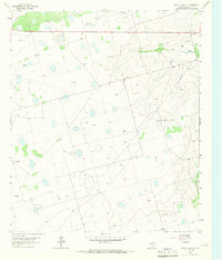
1965 Map of Dewey Lake SE
USGS Topo · Published 1966This historical map portrays the area of Dewey Lake SE in 1965, primarily covering Glasscock County. Featuring a scale of 1:24000, this map provides a highly detailed snapshot of the terrain, roads, buildings, counties, and historical landmarks in the Dewey Lake SE region at the time. Published in 1966, it is the sole known edition of this map.
Map Details
Editions of this 1965 Dewey Lake SE Map
This is the sole edition of this map. No revisions or reprints were ever made.
Historical Maps of Glasscock County Through Time
15 maps found
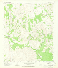
1963 Ballinger Ranch
Glasscock County, TX
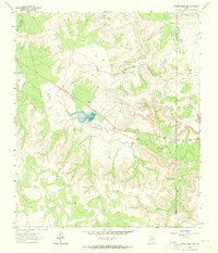
1963 Currie Reservoir
Glasscock County, TX
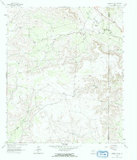
1963 Garden City NE
Glasscock County, TX
1964 Dewey Lake NE
Glasscock County, TX
1965 Dewey Lake
Glasscock County, TX

1965 Dewey Lake SE
Glasscock County, TX
1965 Patterson Lake
Glasscock County, TX
1966 Houston Ranch
Glasscock County, TX
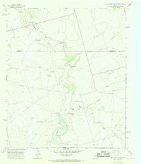
1966 Lucian Wells Ranch
Glasscock County, TX
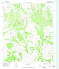
1971 Lees
Glasscock County, TX
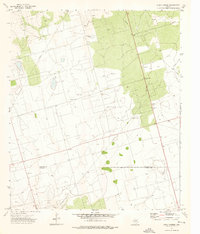
1973 Bigby Corner
Glasscock County, TX
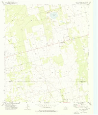
1973 Saint Lawrence
Glasscock County, TX
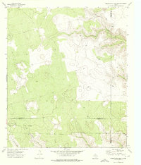
1973 Three Bluff Draw NE
Glasscock County, TX
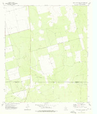
1973 Three Bluff Draw NW
Glasscock County, TX
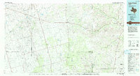
1986 Lacy Creek
Glasscock County, TX