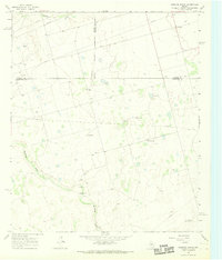
1966 Map of Houston Ranch
USGS Topo · Published 1991About this map
The intersection of Glasscock, Martin, and Howard counties reveals a landscape defined by ranching and resource extraction in the mid-1960s. Named properties such as Houston Ranch and the nearby Old Houston Place anchor the local geography, alongside Stone Ranch and Cross Ranch. These cattle operations are interspersed with a growing petroleum infrastructure, indicated by numerous Oil Wells and a network of pipelines cutting across the terrain.
Find a feature on this map
16 named features on this map. Tap any name to fly to it.
Don’t see what you’re looking for? This feature index may not catch every label — zoom into the map to look around manually.
Map Details
Editions of this 1966 Houston Ranch Map
2 editions found
Other maps of this area

1941 · Morita
USGS Topo · 1:62,500

1949 · Morita
USGS Topo · 1:62,500

1954 · Big Spring
USGS Topo · 1:250,000

1954 · San Angelo
USGS Topo · 1:250,000

1958 · San Angelo
USGS Topo · 1:250,000

1958 · Big Spring
USGS Topo · 1:250,000

1964 · Dewey Lake NE
USGS Topo · 1:24,000

1965 · San Angelo
USGS Topo · 1:250,000

1965 · Dewey Lake
USGS Topo · 1:24,000

1965 · Spraberry
USGS Topo · 1:24,000