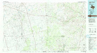
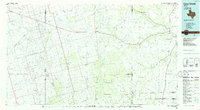
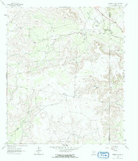
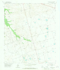
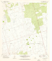
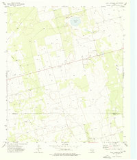
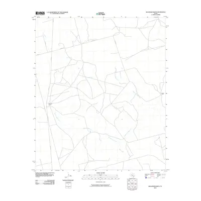
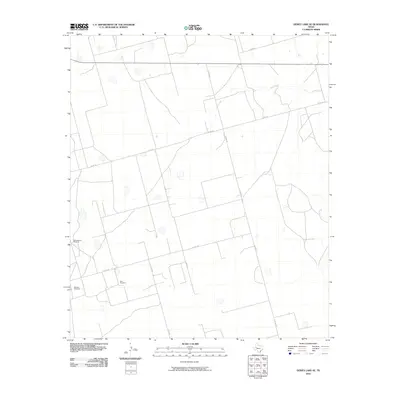
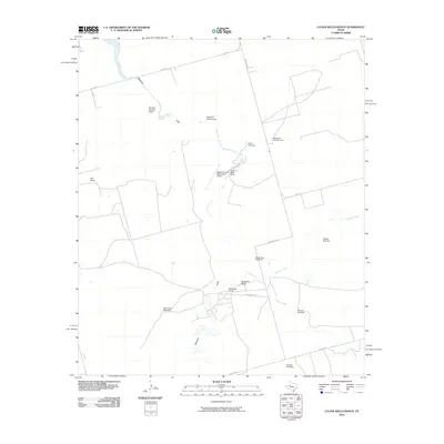
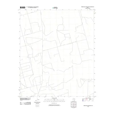
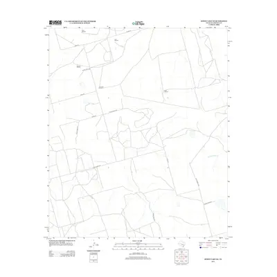
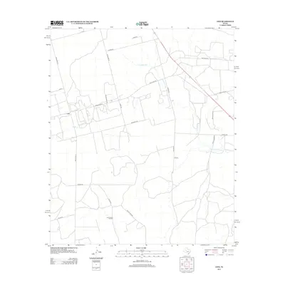
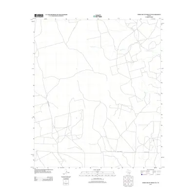
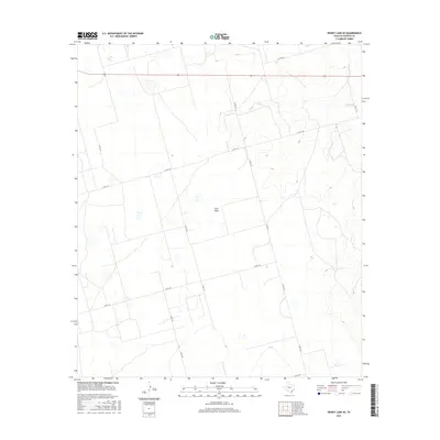
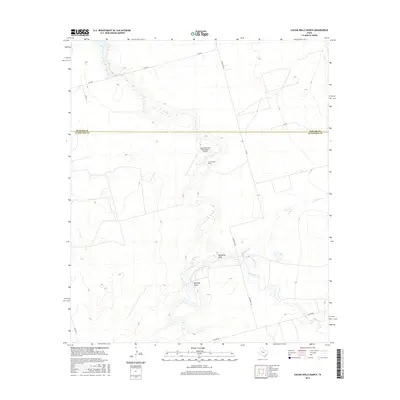
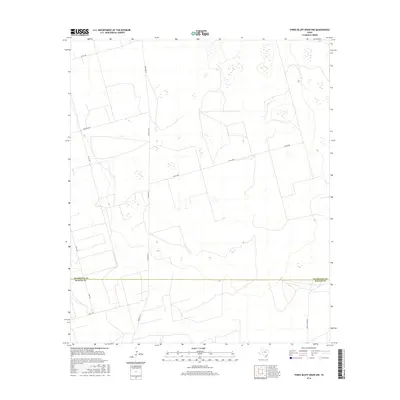
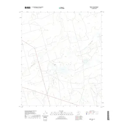
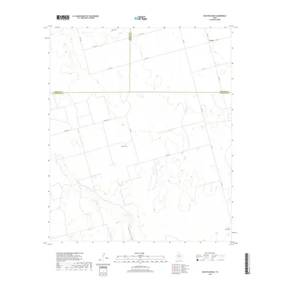
1986 Map of Lacy Creek
USGS Topo · Published 1993About this map
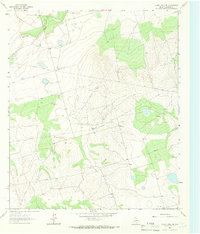
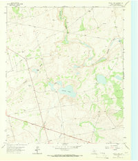
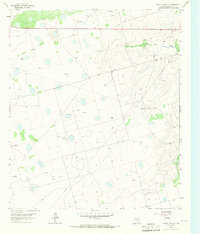
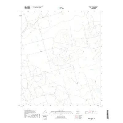
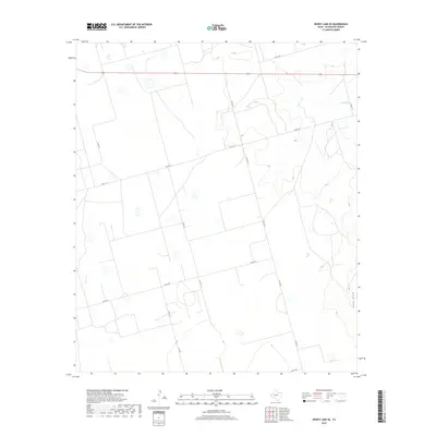
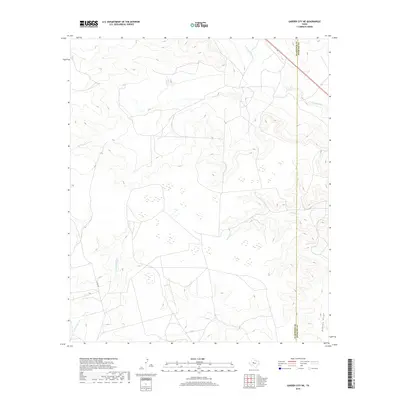
The sprawling petroleum infrastructure of the Permian Basin dominates this landscape, where the Spraberry Oil Field and Johnson Oil Field intersect with the high plains of West Texas. Settlement is sparse, concentrated in small hubs such as Garden City, Saint Lawrence, and Midkiff, while the remainder of the terrain is defined by a complex network of ephemeral drainage features. Significant draws, including Mustang Draw, Monahans Draw, and Johnson Draw, provide the primary topography, leading toward the upper reaches of the North Concho River.
Find a feature on this map
58 named features on this map. Tap any name to fly to it.
Don’t see what you’re looking for? This feature index may not catch every label — zoom into the map to look around manually.
Map Details
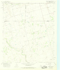
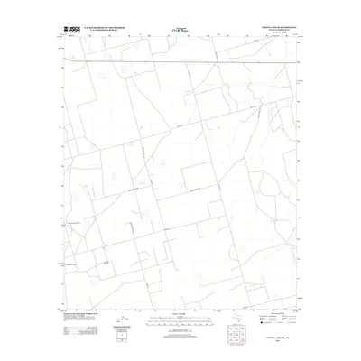
Editions of this 1986 Lacy Creek Map
2 editions found
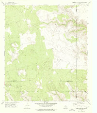
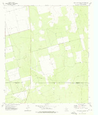
Historical Maps of Sterling City Through Time
85 maps found
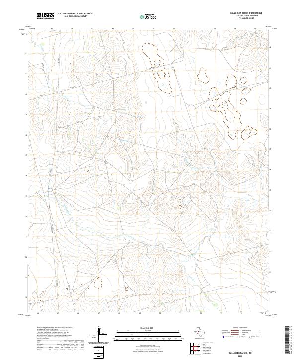
1963 Ballinger Ranch
Glasscock County, TX
1963 Currie Reservoir
Glasscock County, TX
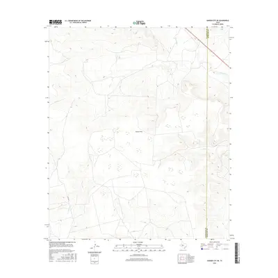
1963 Garden City NE
Glasscock County, TX
1964 Dewey Lake NE
Glasscock County, TX
1965 Dewey Lake
Glasscock County, TX
1965 Dewey Lake SE
Glasscock County, TX
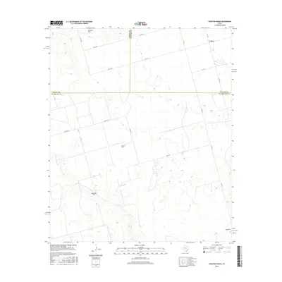
1965 Patterson Lake
Glasscock County, TX
1966 Houston Ranch
Glasscock County, TX
1966 Lucian Wells Ranch
Glasscock County, TX
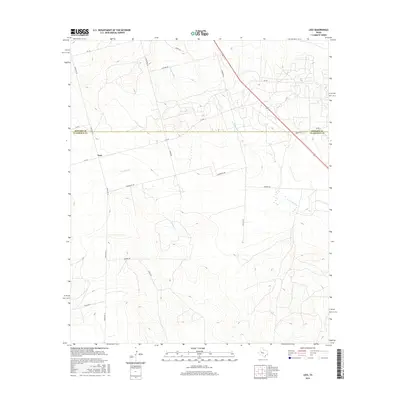
1971 Lees
Glasscock County, TX
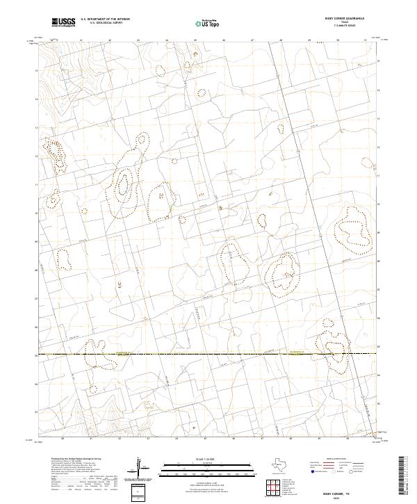
1973 Bigby Corner
Glasscock County, TX
1973 Saint Lawrence
Glasscock County, TX
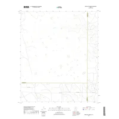
1973 Three Bluff Draw NE
Glasscock County, TX
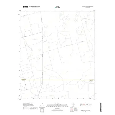
1973 Three Bluff Draw NW
Glasscock County, TX
1986 Lacy Creek
Glasscock County, TX
2010 Ballinger Ranch
Glasscock County, TX
2010 Bigby Corner
Glasscock County, TX
2010 Currie Reservoir
Glasscock County, TX

2010 Dewey Lake
Glasscock County, TX
2010 Dewey Lake NE
Glasscock County, TX
2010 Dewey Lake SE
Glasscock County, TX
2010 Garden City NE
Glasscock County, TX
2010 Houston Ranch
Glasscock County, TX
2010 Lees
Glasscock County, TX
2010 Lucian Wells Ranch
Glasscock County, TX
2010 Patterson Lake
Glasscock County, TX
2010 Saint Lawrence
Glasscock County, TX
2010 Three Bluff Draw NE
Glasscock County, TX
2010 Three Bluff Draw NW
Glasscock County, TX
2012 Ballinger Ranch
Glasscock County, TX
2012 Bigby Corner
Glasscock County, TX
2012 Dewey Lake
Glasscock County, TX
2012 Dewey Lake NE
Glasscock County, TX
2012 Dewey Lake SE
Glasscock County, TX
2012 Garden City NE
Glasscock County, TX
2012 Houston Ranch
Glasscock County, TX
2012 Lees
Glasscock County, TX
2012 Lucian Wells Ranch
Glasscock County, TX
2012 Patterson Lake
Glasscock County, TX
2012 Saint Lawrence
Glasscock County, TX
2012 Three Bluff Draw NE
Glasscock County, TX
2012 Three Bluff Draw NW
Glasscock County, TX
2013 Currie Reservoir
Glasscock County, TX
2016 Ballinger Ranch
Glasscock County, TX
2016 Bigby Corner
Glasscock County, TX
2016 Currie Reservoir
Glasscock County, TX
2016 Dewey Lake
Glasscock County, TX
2016 Dewey Lake NE
Glasscock County, TX
2016 Dewey Lake SE
Glasscock County, TX
2016 Garden City NE
Glasscock County, TX
2016 Houston Ranch
Glasscock County, TX
2016 Lees
Glasscock County, TX
2016 Lucian Wells Ranch
Glasscock County, TX
2016 Patterson Lake
Glasscock County, TX
2016 Saint Lawrence
Glasscock County, TX
2016 Three Bluff Draw NE
Glasscock County, TX
2016 Three Bluff Draw NW
Glasscock County, TX
2019 Ballinger Ranch
Glasscock County, TX
2019 Bigby Corner
Glasscock County, TX
2019 Currie Reservoir
Glasscock County, TX
2019 Dewey Lake
Glasscock County, TX
2019 Dewey Lake NE
Glasscock County, TX
2019 Dewey Lake SE
Glasscock County, TX
2019 Garden City NE
Glasscock County, TX
2019 Houston Ranch
Glasscock County, TX
2019 Lees
Glasscock County, TX
2019 Lucian Wells Ranch
Glasscock County, TX

2019 Patterson Lake
Glasscock County, TX
2019 Saint Lawrence
Glasscock County, TX
2019 Three Bluff Draw NE
Glasscock County, TX
2019 Three Bluff Draw NW
Glasscock County, TX
2022 Ballinger Ranch
Glasscock County, TX
2022 Bigby Corner
Glasscock County, TX
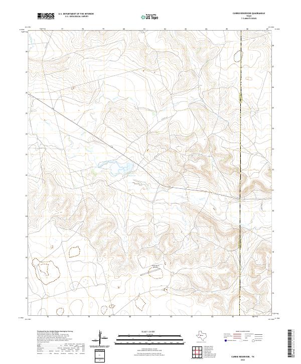
2022 Currie Reservoir
Glasscock County, TX
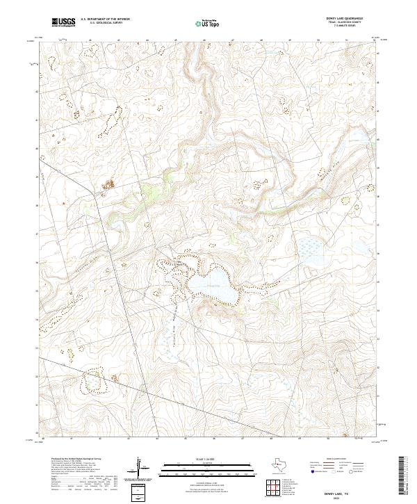
2022 Dewey Lake
Glasscock County, TX
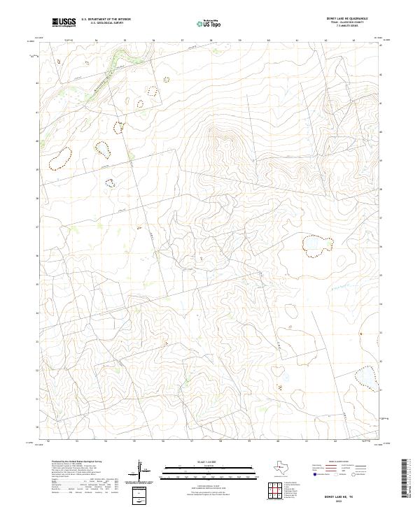
2022 Dewey Lake NE
Glasscock County, TX
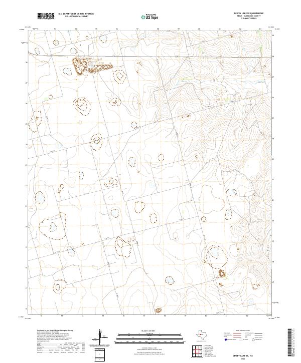
2022 Dewey Lake SE
Glasscock County, TX
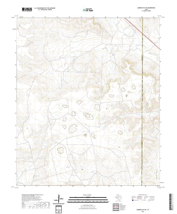
2022 Garden City NE
Glasscock County, TX
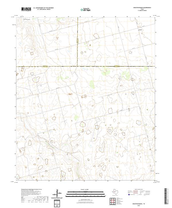
2022 Houston Ranch
Glasscock County, TX
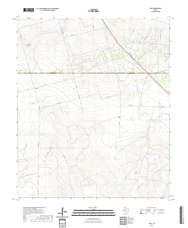
2022 Lees
Glasscock County, TX
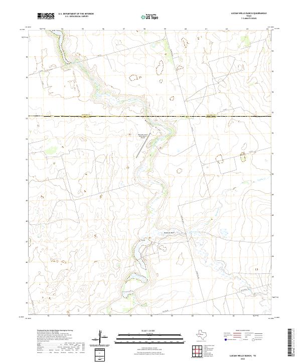
2022 Lucian Wells Ranch
Glasscock County, TX
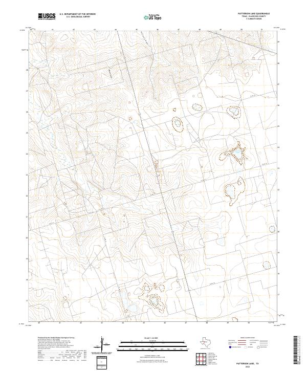
2022 Patterson Lake
Glasscock County, TX
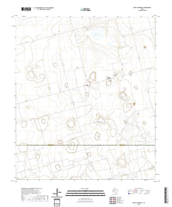
2022 Saint Lawrence
Glasscock County, TX
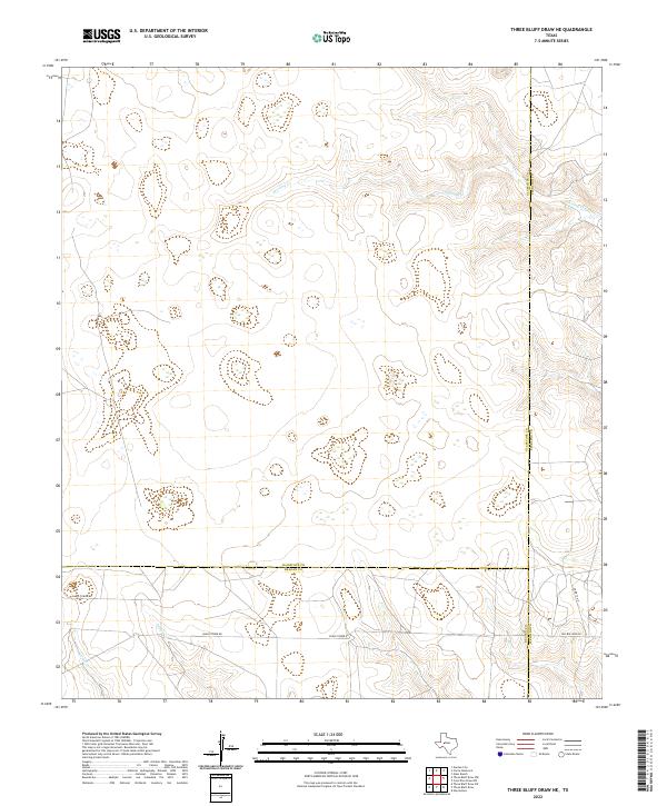
2022 Three Bluff Draw NE
Glasscock County, TX
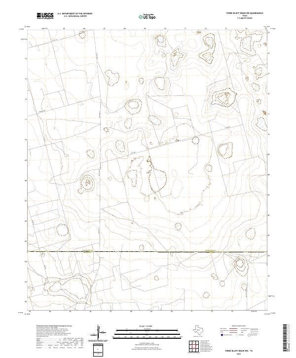
2022 Three Bluff Draw NW
Glasscock County, TX