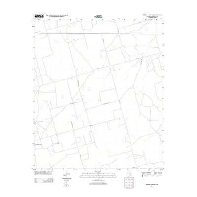
2012 Map of Dewey Lake SE
USGS Topo · Published 2012About this map
Lacy Cr meanders through this section of Glasscock County, defining the drainage patterns in a landscape focused on water management and rural infrastructure. The 2012 survey illustrates a network of county and private roads, such as Co Rd 110 and Private Road 1308, which provide access to a series of ranching and utility sites. The strategic placement of water resources is evident through several named features, including the Schoolhouse Windmill and the Morgan Windmill. These landmarks, along with the East Windmill, highlight the necessity of groundwater for sustaining the area's agricultural operations. This topographic record documents a specific late-twentieth-century West Texas land use pattern, where the intersection of Co Op Rd and various private easements indicates a territory divided into large holdings with essential localized water infrastructure.
Find a feature on this map
17 named features on this map. Tap any name to fly to it.
Don’t see what you’re looking for? This feature index may not catch every label — zoom into the map to look around manually.
Map Details
Editions of this 2012 Dewey Lake SE Map
This is the sole edition of this map. No revisions or reprints were ever made.
Other maps of this area

1954 · San Angelo
USGS Topo · 1:250,000

1958 · San Angelo
USGS Topo · 1:250,000

1963 · Ballinger Ranch
USGS Topo · 1:24,000

1963 · Garden City
USGS Topo · 1:24,000

1964 · Dewey Lake NE
USGS Topo · 1:24,000

1965 · San Angelo
USGS Topo · 1:250,000

1965 · Dewey Lake
USGS Topo · 1:24,000

1965 · Dewey Lake SE
USGS Topo · 1:24,000

1965 · Patterson Lake
USGS Topo · 1:24,000

1973 · Bigby Corner
USGS Topo · 1:24,000